Spruce Knob is the highest point in West Virginia at 4,862 feet (1,482 meters). Rather than simply driving to the summit, I came up with an unnecessarily long hiking circuit that I used several times for training during the fall and winter. I only brought my camera on the winter trip, which turned out to be a good choice because the higher elevations were covered in snow.
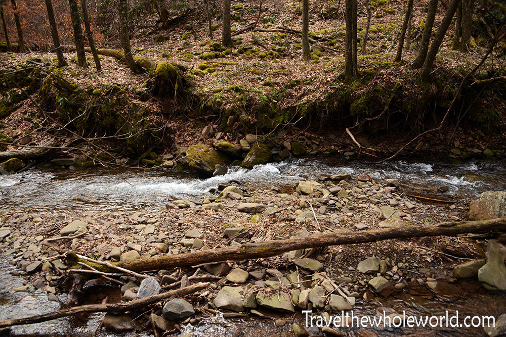
Almost immediately after starting on the Allegheny Trail, we had to cross this creek. The first time I hiked this route, the water was low enough that we could simply step across on rocks. The second time, the water was much higher and we crossed using a fallen log.
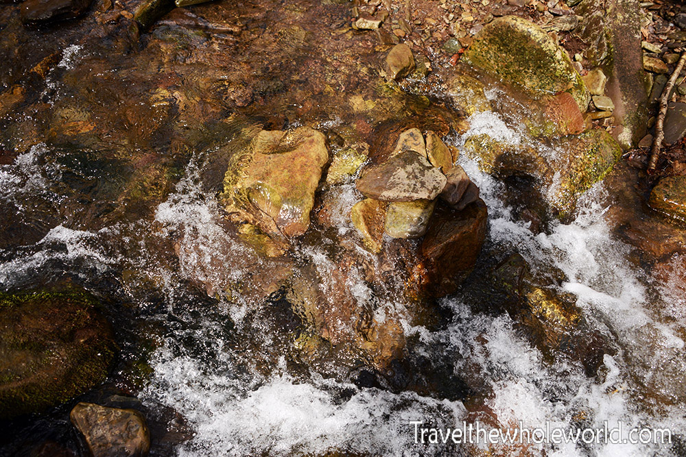
By my third trip, the water was high again and the log we had previously used had washed away. We spent about 30 minutes looking for the best place to cross before tossing rocks into the creek to create a route across the faster-moving water. It wasn’t particularly deep or wide, but the combination of wet moss, slippery rocks, and heavy backpacks made a simple creek crossing more interesting than it should have been.
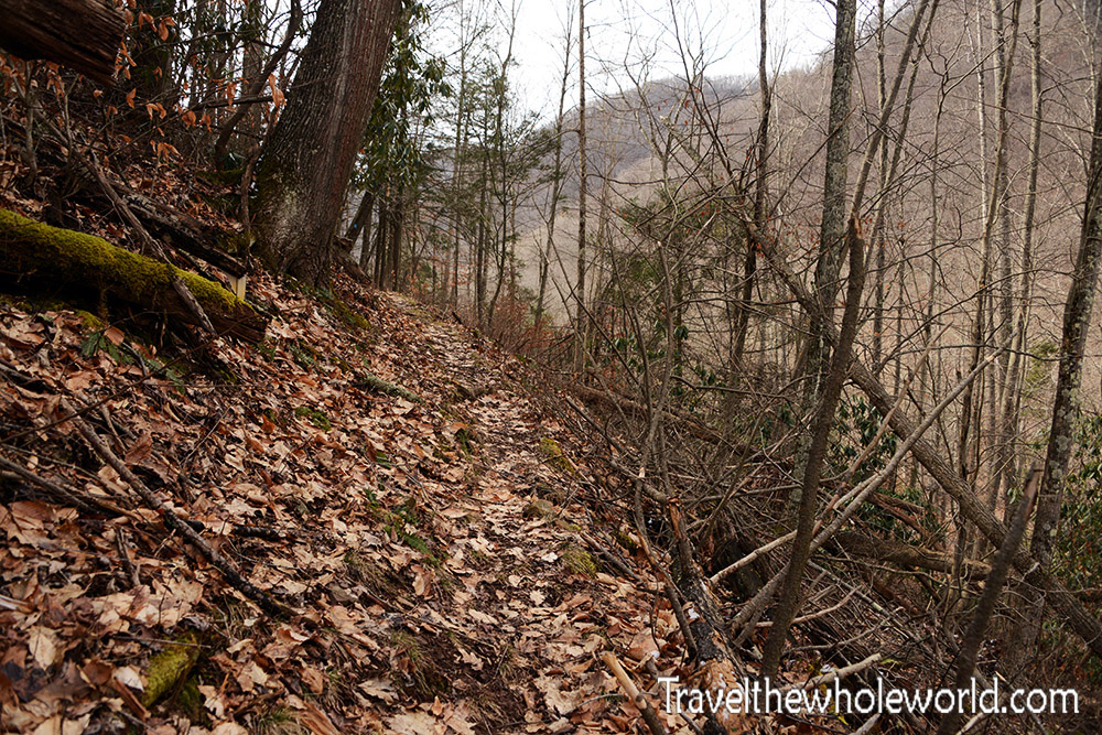
The section of the Allegheny Trail we followed begins with a series of steep switchbacks. In fact, this was probably some of the steepest terrain of the entire trip. We started at roughly 2,200 feet (700 meters), leaving us with plenty of elevation to gain before reaching the higher ridges around Spruce Knob.
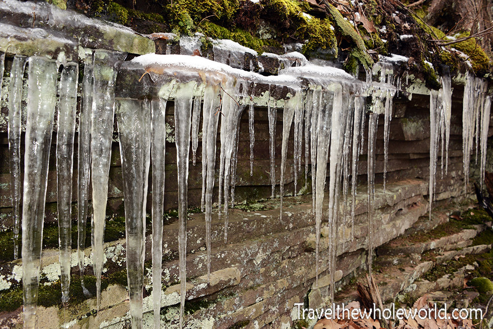
As we climbed higher, patches of snow began appearing along the trail along with icicles like these. The amount of snow steadily increased with elevation, and by the time we approached 4,000 feet (1,200 meters), the landscape was beginning to look much more like winter.
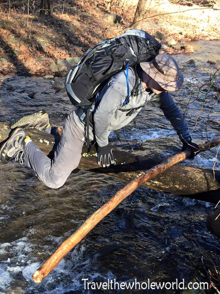
After reaching roughly 4,000 feet (1,200 meters), the route dropped steeply and muddily back toward 3,000 feet (900 meters), where the snow disappeared again and we reached Seneca Creek. On my first two trips, a huge fallen tree provided an easy bridge across the creek. The second time it was covered in ice and considerably more slippery, but it was still wide enough to cross without much trouble.
This time I was surprised to discover that the tree was gone. Fortunately, we found a narrower fallen tree nearby and managed to cross without losing too much time. I had even carried some boards with me in an attempt to make the crossing easier, although in practice I think they mostly got in our way.
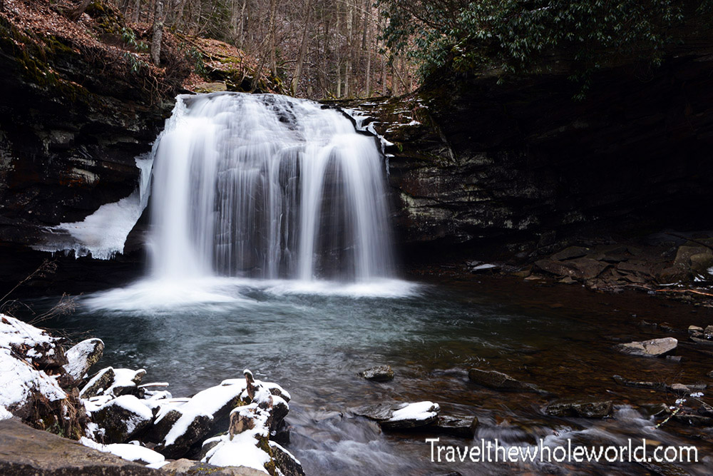
Immediately after crossing Seneca Creek, we found ourselves in front of one of the most beautiful waterfalls I’ve seen in the region: Seneca Falls. Even though we had already passed the halfway point to camp, simply reaching the falls is a serious hike. From where we started, it was roughly seven miles each way, making a visit to the falls alone close to a 15-mile round trip. Every time I’ve returned, Seneca Falls has seemed more impressive than I remembered.
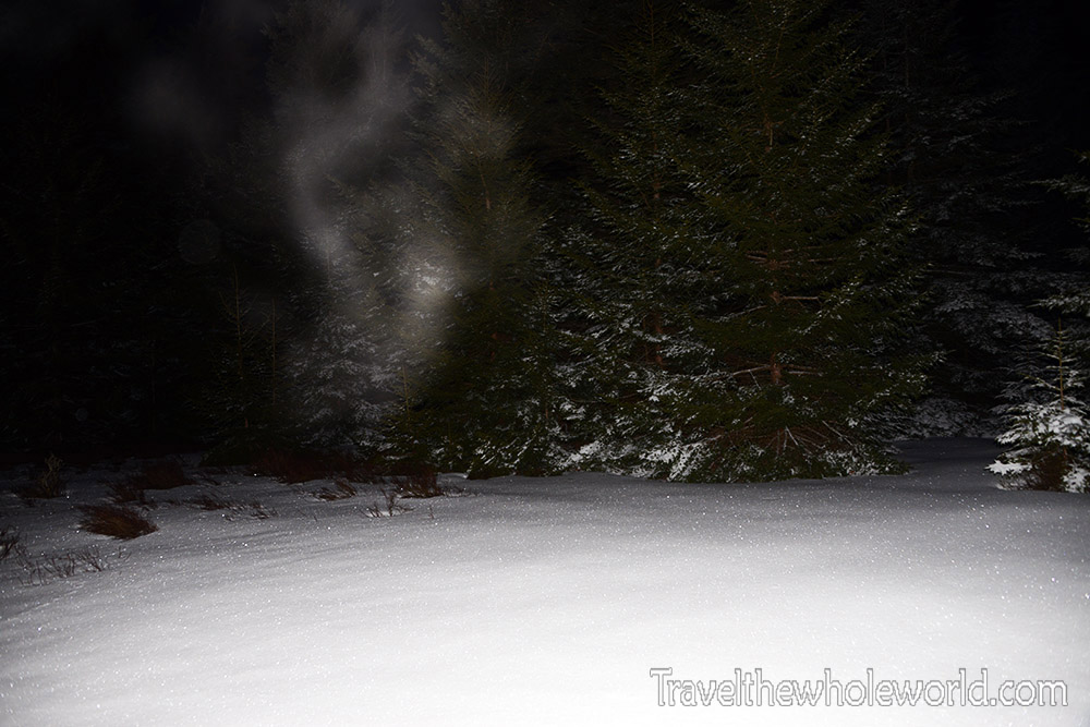
After crossing the creek, we had to climb all the way back toward 4,000 feet (1,200 meters). After a full day of hiking with heavy packs, the climb took plenty of time and effort. Light snow gradually returned as we gained elevation, and eventually we entered the spruce forest. It was already dark when we reached camp, but we found this nice open area and settled in for the night.
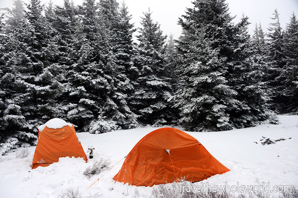
This was the same campsite the following morning. During the night we received about two inches of fresh snow, enough to cover my tent and completely transform the surrounding forest.
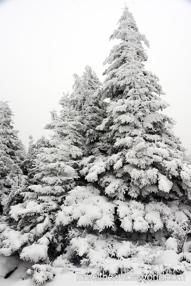
The fresh snow covered nearly everything in sight. As we continued toward the summit, the snow became deeper and increasingly coated the spruce trees as well as the ground. It was a dramatic change from the muddy, leafless forest we had hiked through at lower elevations the day before.
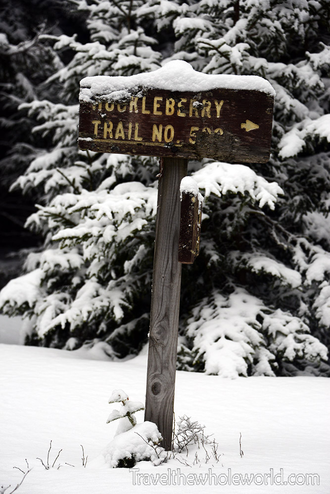
From our campsite we followed the Huckleberry Trail toward the summit. Since we could leave most of our camping gear behind, we carried only what we needed for the day, including some food, water, and my camera.
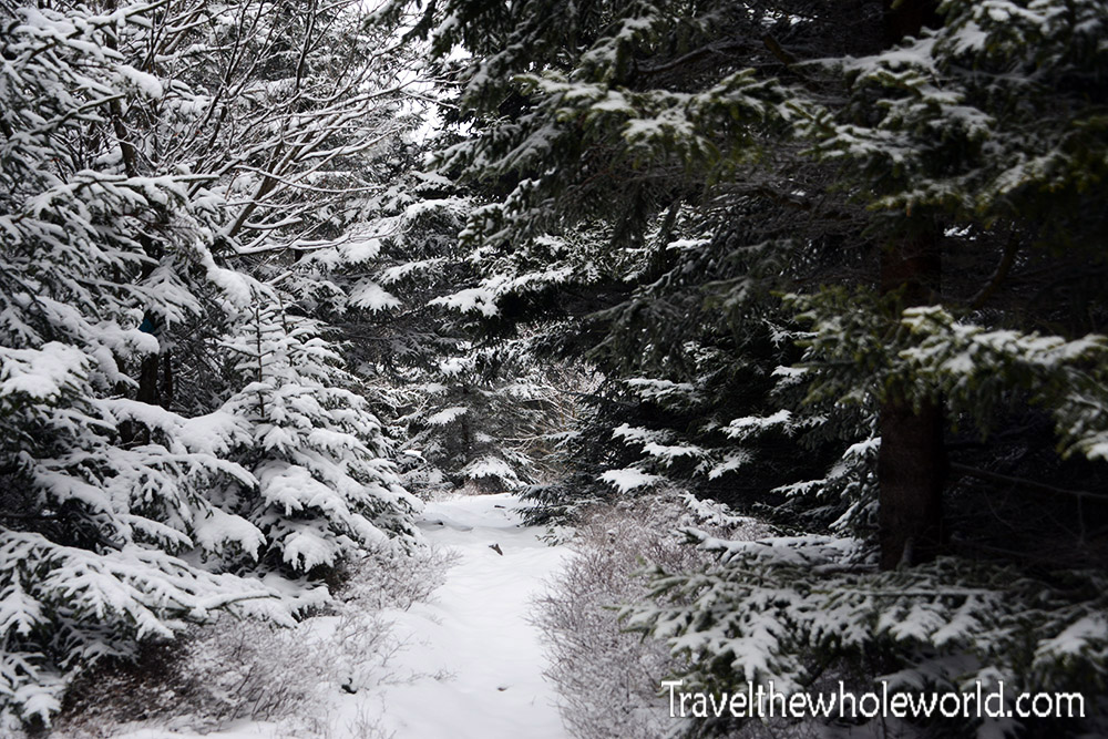
The summit was less than 10 miles round trip from camp, and because we were already around 4,000 feet, the final five miles to the top were mostly gentle. Without our heavy backpacks, it felt like an easy walk compared with the previous day’s hike.
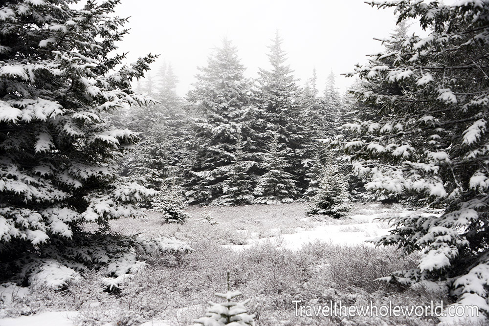
The scenery was beautiful as the trail wound through snowy meadows, spruce forest, and occasional rocky terrain. It was hard to believe that only the previous morning we had been hiking through mud, dead leaves, and mostly snow-free forest at the lower elevations.
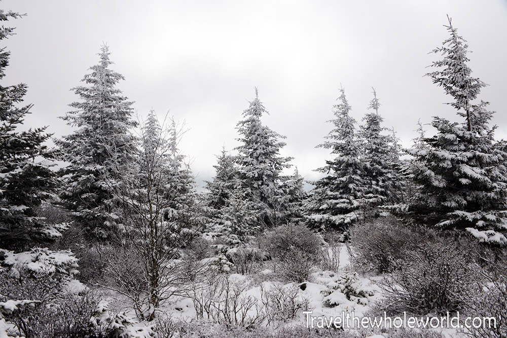
The difference in elevation was especially obvious in the forest. Up here everything was coated in fresh snow, giving the higher slopes around Spruce Knob a completely different appearance from the valleys below.
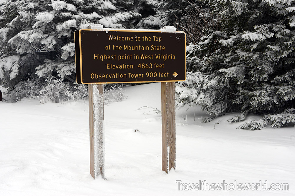
After a little more than an hour of hiking from camp, we finally reached the summit—and a parking lot! After all the hiking we had done to get here, arriving at a place that people can simply drive to was a slightly anticlimactic victory. The parking lot was empty in the winter, but it was still amusing knowing that these views we had worked so hard to reach could normally be reached by anyone willing to drive up the mountain.
Of course, I couldn’t complain too much. The first time I visited Spruce Knob, I had done exactly that and driven to the summit with a friend. That trip was considerably easier than this one.
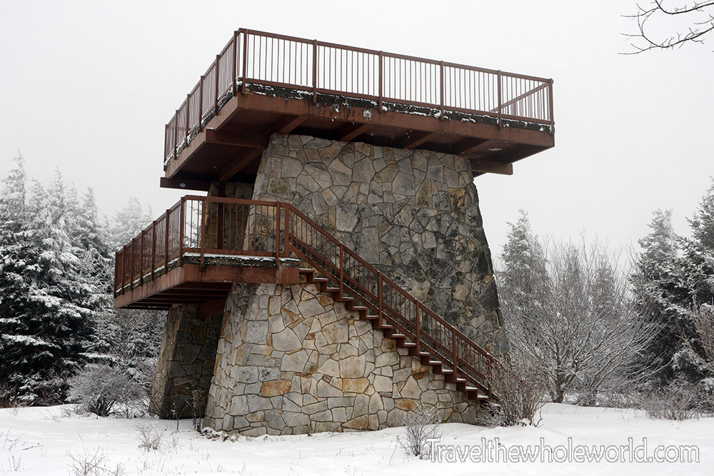
At the summit is an observation tower designed to provide views across the surrounding mountains. I don’t remember having particularly clear views the first time I visited, and on this winter trip the overcast weather wasn’t exactly cooperating either.
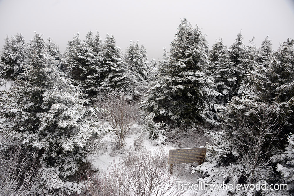
This was our view from the tower. Between the overcast sky and the tall spruce trees surrounding the summit, visibility was limited, but after the long hike and snowy night in the mountains, simply reaching the highest point in West Virginia made the trip worthwhile.
Explore More of West Virginia
Monongahela Forest • Spruce Knob • Charleston • Harpers Ferry • the Greenbrier Hotel