If you read my Rwenzori Mountains National Park page, where I hiked from the rainforest through the high-altitude bogs toward Mt. Stanley, this page picks up shortly after I left the final bog behind.
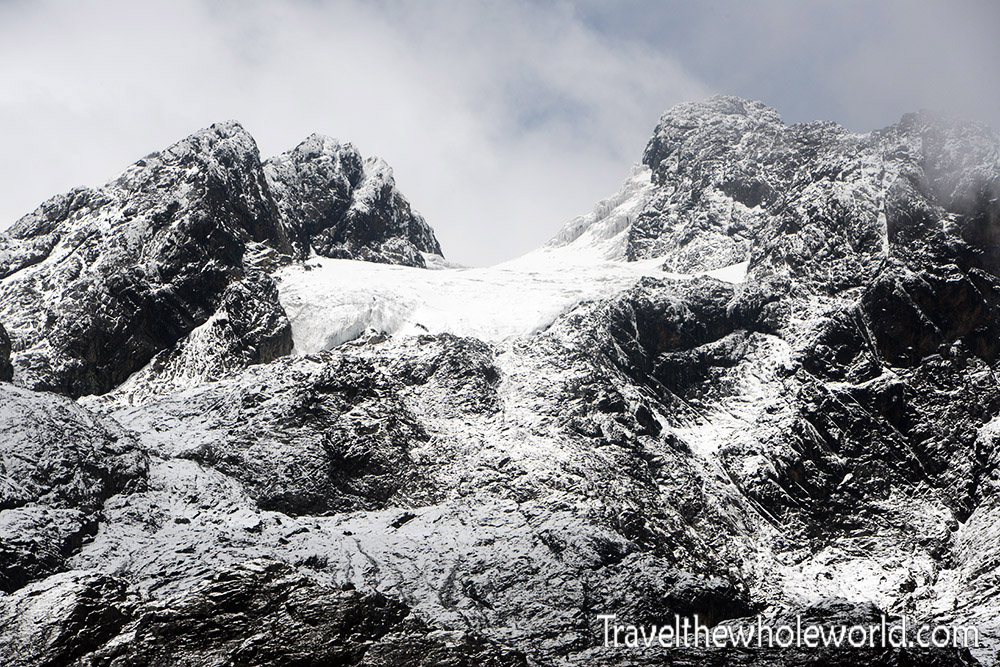
I had been climbing through drizzle and heavy cloud cover when the sky suddenly cleared. For the first time, I had an incredible view of Mt. Stanley’s highest summits: Alexandra Peak on the left and Margherita Peak on the right. Using the full zoom on my camera, I could even make out the snow and ice surrounding my destination.
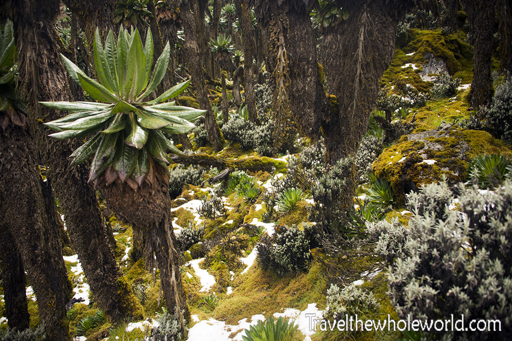
Despite seeing a summit covered in snow and ice, where I was standing it was still relatively warm. As I continued higher, I began encountering the first patches of snow at around 4,260 meters (14,000 feet). At first they were scattered between the giant lobelias, creating a bizarre transition between the Rwenzoris’ Afro-alpine vegetation and the frozen terrain above.
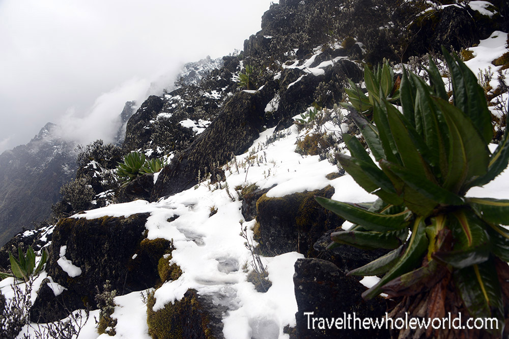
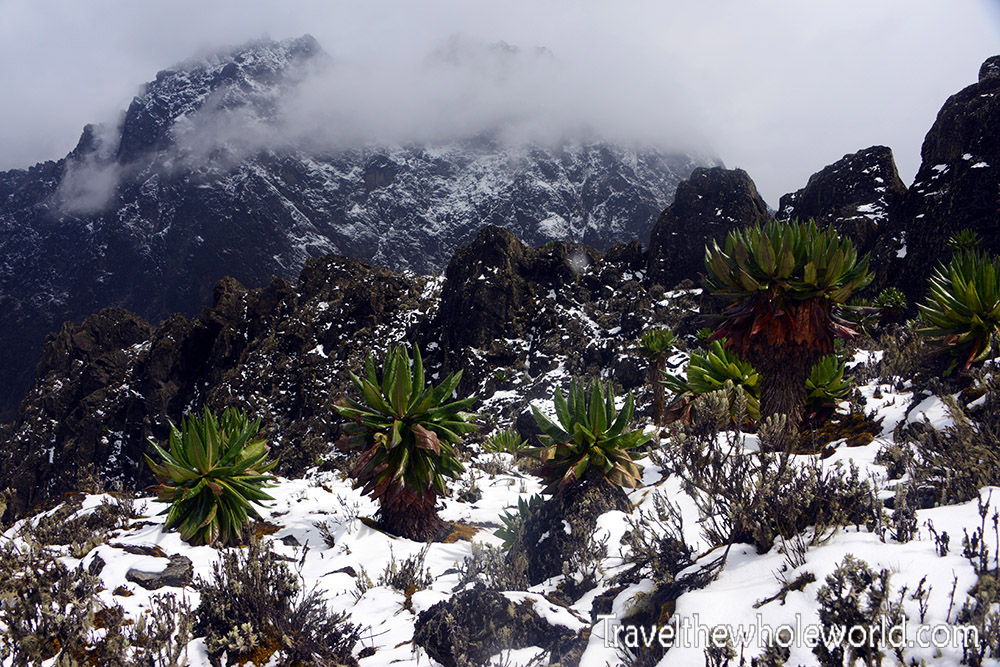
The terrain changed quickly as I climbed higher. Giant lobelias still appeared occasionally, but they were becoming smaller and more scattered. The soft mud and moss of the lower elevations gave way to hard rock covered with wet snow.
The final push toward Elena Camp involved some scrambling, and about twenty minutes before reaching the hut it began snowing hard.
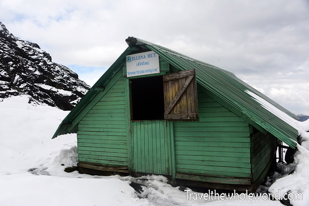
Elena Camp sits at roughly 4,540 meters (14,900 feet). Like the other camps along the route, it had a permanent hut, although this one was much more basic. There were sleeping mats inside and an outhouse nearby.
I was impressed that a reasonably solid shelter had been built this high on the mountain. I had expected to spend the entire trip sleeping in tents, so even a basic hut at nearly 15,000 feet felt like a luxury.
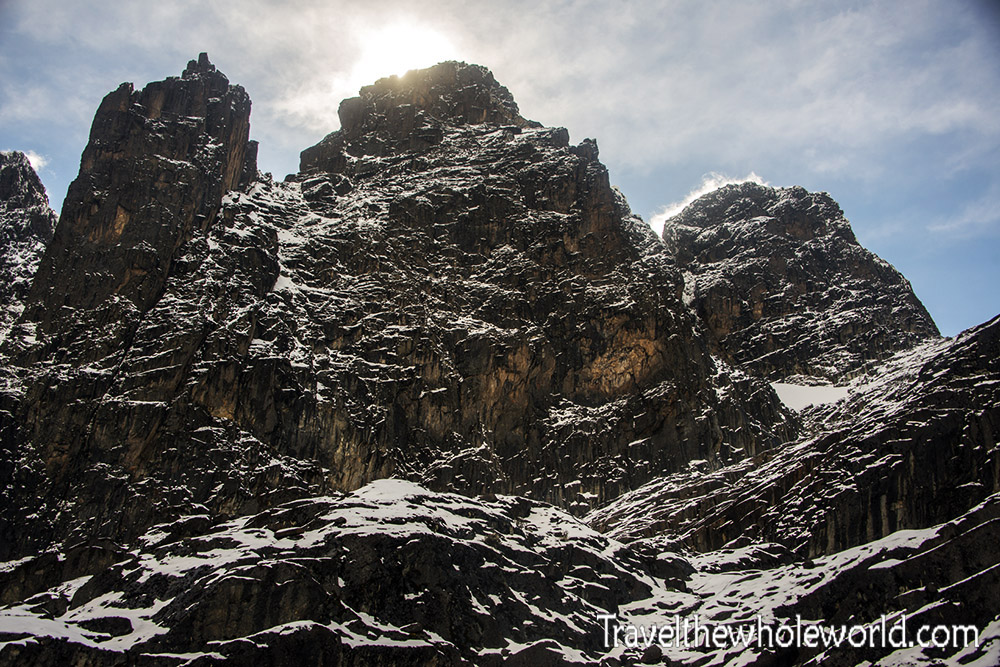
Directly above Elena Camp were the rugged peaks and rock formations that would become our first challenge the following morning. They looked intimidating enough in daylight, but we started the summit attempt around 5:00 a.m., so I climbed the first section completely in the dark and didn’t take any photos.
The route began with a steep rocky chute protected by a fixed rope. I wouldn’t consider it a true rock climb, but without the rope there were definitely exposed sections where a fall would have serious consequences. By the time we topped out above the chute, I had crossed 4,570 meters (15,000 feet).
After climbing the chute in darkness, we continued across the high terrain toward the glaciers. I was attempting to summit Mt. Stanley only about 72 hours after entering the mountains near 1,600 meters. Going from near sea level before the trip to more than 5,000 meters that quickly gave my body very little time to acclimatize, and I could feel it.
I had previously climbed as high as roughly 8,700 meters, so I already knew how my body responded to altitude. That experience didn’t make me acclimatized—it just meant I recognized exactly why this climb felt harder than it should have.
Then I saw something I really didn’t want to see. Before making the final climb toward Margherita Peak, the route dropped roughly 200 meters (600 feet), elevation I knew I’d have to immediately regain. I didn’t bother taking many photos until we stopped to put on our crampons and harnesses.
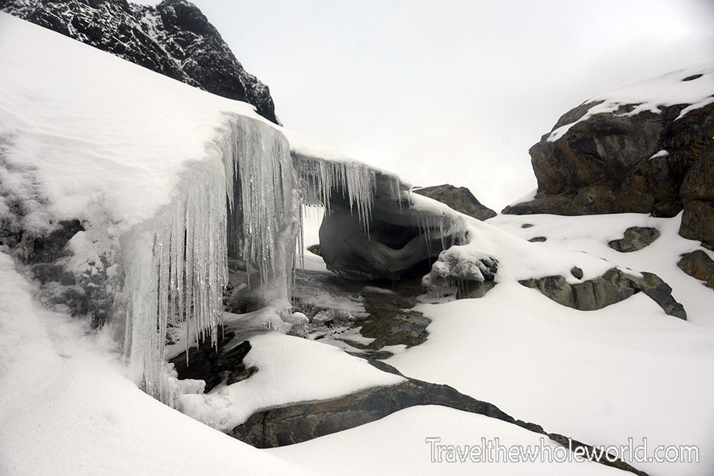
The icicles and natural ice formations around us were incredible. Standing almost directly on the equator, this was certainly not the scenery most people imagine when they think of Africa.
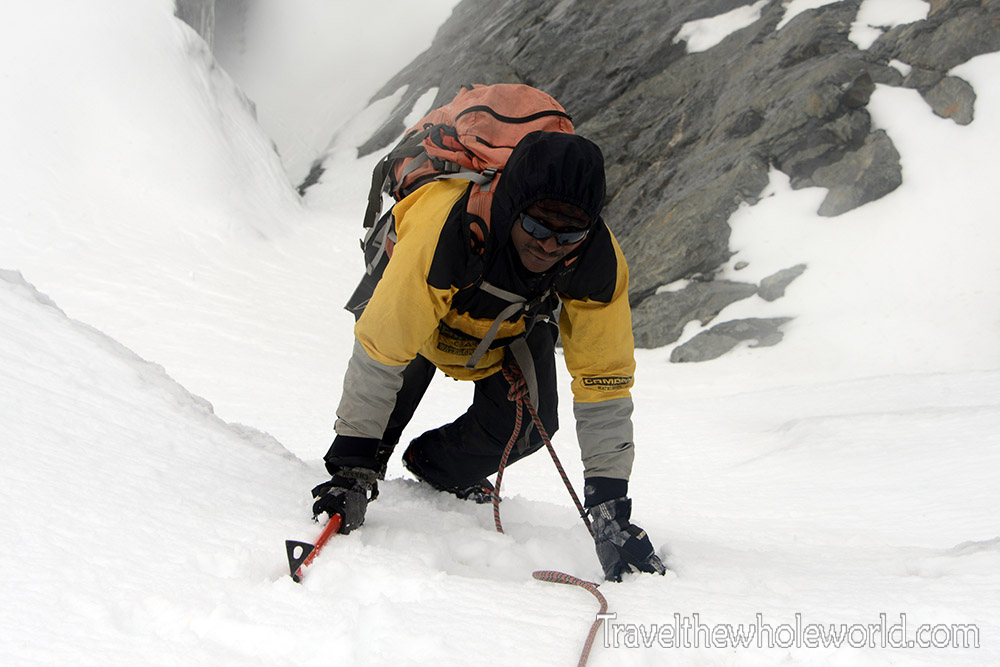
Soon after roping up, we began a steep ascent and I found myself using my ice axe for the first time on the trip. Between the gradient and my poor acclimatization, this was probably the most difficult section of the entire climb.
After climbing higher onto the glacier, we reached a snowfield broken by numerous crevasses. From here on, glacier travel became a much more serious part of the route.
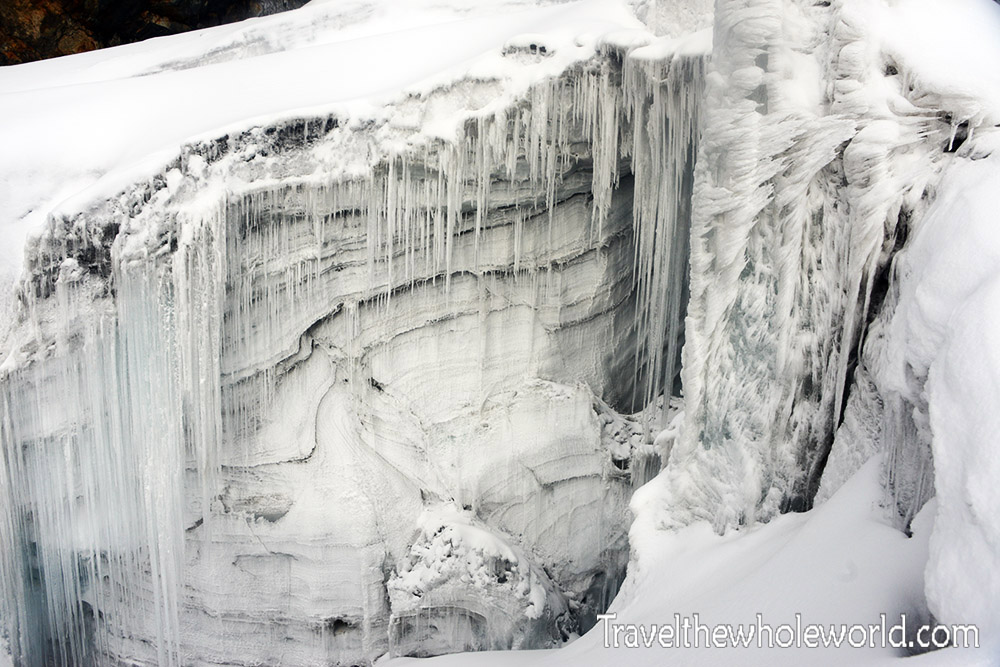
Because I’m standing almost directly against the lower edge of this crevasse, the photograph makes it look more like an ice wall than a giant opening in the glacier. There were several large crevasses that we had to navigate around as we approached 4,875 meters (16,000 feet), but this was the biggest one I saw.
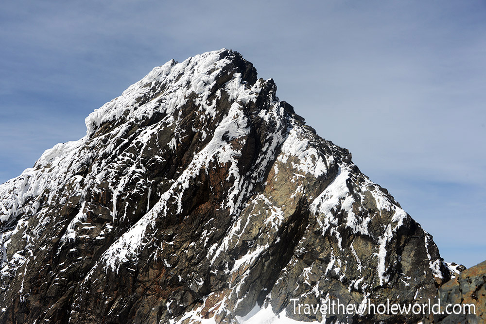
From here the summit finally stopped looking impossibly far away. I still had to cross the remaining glacier and complete the final rocky ascent, but after everything I had already climbed, the end finally felt within reach.
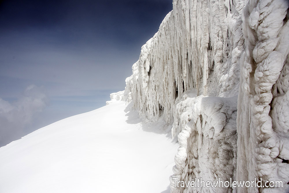
As I entered the final section of glacier, I came across some of the most beautiful ice formations I had ever seen. The combination of rime ice, snow and exposed glacier created formations unlike anything I had encountered elsewhere.
If this place weren’t so difficult to reach, I could have spent all day photographing the ice. Instead, I still had a summit to reach.
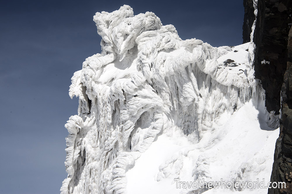
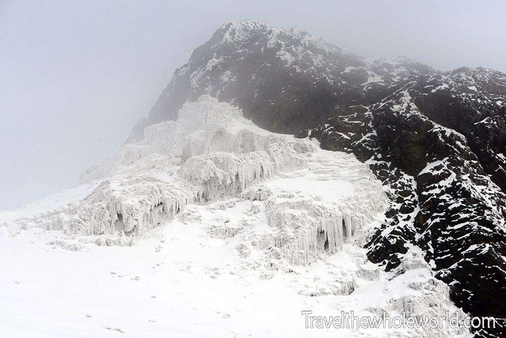
After finishing the glacier and beginning the final ascent, I got some great views of Alexandra Peak. Alexandra is the slightly lower of Mt. Stanley’s two highest summits, rising to approximately 5,091 meters (16,703 feet). Across the high ridge was my destination, Margherita Peak.
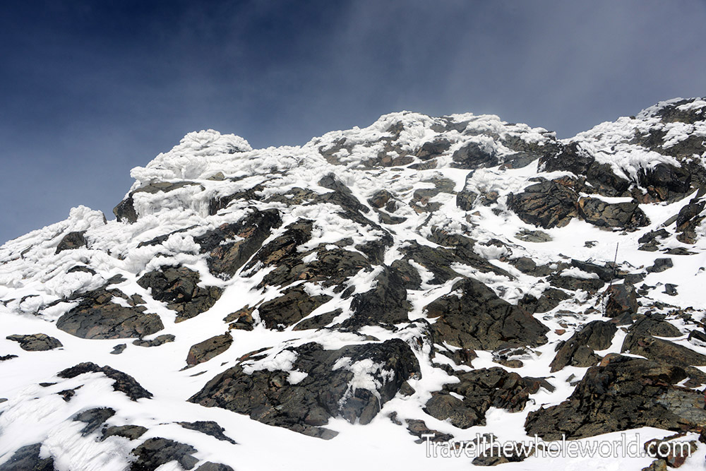
There was one more technical section on the final ascent, but another fixed rope made it much easier. Once I passed that chute, most of what remained was a rocky scramble toward the summit.
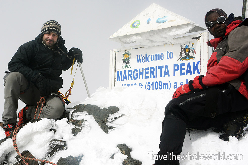
Shortly afterward, I reached Margherita Peak at 5,109 meters (16,763 feet)—the highest point in Uganda and the third-highest summit in Africa. The peak sits directly on the border between Uganda and the Democratic Republic of the Congo, so standing on top also meant standing on the international boundary.
I was proud to have reached the summit only about 72 hours after entering the mountains. My reward was immediately turning around and descending all the way back to John Matte Camp that same day. I hated myself for that decision by the time I finally arrived!
All told, I went from the park entrance to the summit and back out of the Rwenzoris in less than 96 hours. I had come here partly to train for Mt. Everest and deliberately pushed the pace much faster than the normal itinerary.
Mt. Stanley will probably always be one of my favorite mountains. In only a few days I had traveled from hot rainforest through giant lobelias, muddy bogs and bizarre Afro-alpine vegetation before finally putting on crampons and crossing glaciers to reach the summit. Few mountains I’ve climbed have packed so many completely different environments into a single journey.
Explore More of Uganda
Mt. Stanley • Rwenzori National Park • Kampala • Ziwa Rhino Sanctuary