Nearly everyone heading into Rwenzori Mountains National Park passes through Kasese, the main town near the mountains and a common base for trips into the park. I arrived in the Rwenzoris with only the clothes I was wearing because my airline had lost my luggage. Most of my time in Kasese was spent trying to get money from my bank and arranging for a porter to meet me farther up the mountain with my climbing gear.
That’s right. I started climbing toward Mt. Stanley wearing jeans and a T-shirt.
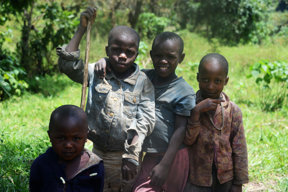
One of the few photos I took around the entrance was of these kids who lived nearby.
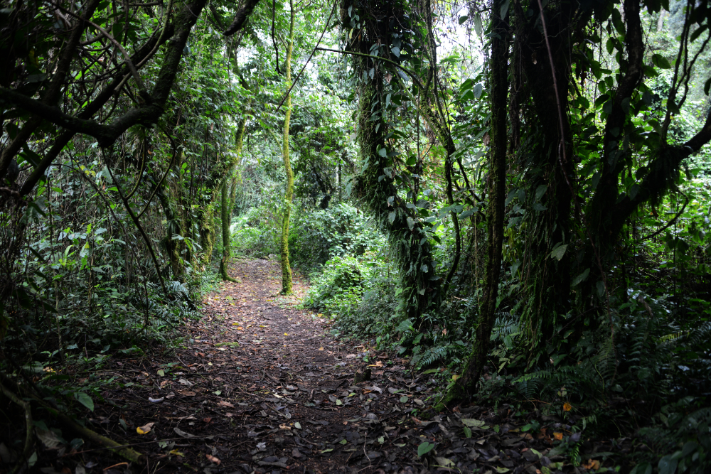
I really believe Mt. Stanley and the surrounding Rwenzoris are among the world’s most unique mountain environments. There aren’t many major climbs where you can begin in a hot, humid rainforest and eventually reach glaciers and true alpine terrain where ropes, crampons and an ice axe may be required.
The first part of my trek began in rainforest at around 1,600 meters (5,250 feet). The trail above was probably the flattest section I encountered during the entire trip. Even on the first day, though, there was still plenty of elevation to gain.
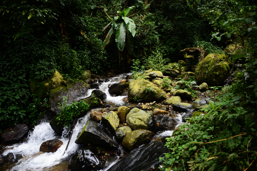
The Rwenzoris are famously wet. There are times of year that generally offer better climbing conditions, and I came in February, but rain is possible throughout the year. On my first day we experienced the heaviest rain of the entire trip. The forecast had called for nearly two inches (48 millimeters) in a single day.
This photo was taken before the heavy rain arrived. Once it started pouring, the creeks quickly became raging torrents. Fortunately, the major crossings along the established trail had bridges, so I didn’t have to wade through flooded streams.
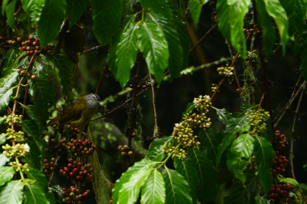
I’m not sure what the wildlife thought about all that water. This bird was completely soaked and didn’t seem too happy about it. I saw several species of colorful birds in the rainforest, but between the rain and the thick foliage, getting decent photographs of them was difficult.
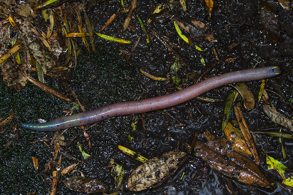
One creature that probably didn’t mind the rain was this enormous earthworm. I wish I had held something next to it for scale because the photo doesn’t show how big it really was. It was around 18 inches (45 centimeters) long, and when I first saw it I seriously thought it was a snake.
I saw several giant worms along the trail, but this was by far the largest. I later learned that even a worm this size isn’t close to the world’s largest earthworms, some of which can grow several feet long.
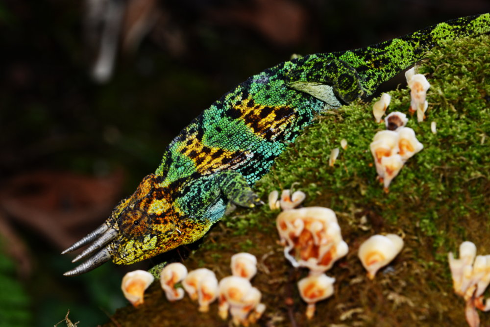
Even more interesting were the chameleons. I had seen chameleons on the other side of the Rwenzori Mountains in the Democratic Republic of the Congo a few years earlier, but none of those had horns like this one.
The Rwenzoris are home to several chameleon species, including the strange horned chameleons for which these mountains are known. I saw them repeatedly along the trail, so keeping an eye on the surrounding vegetation definitely paid off.
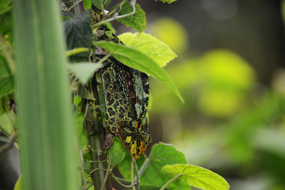
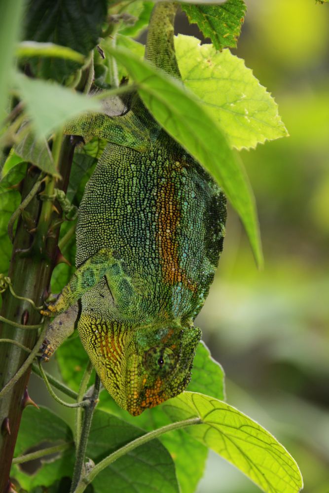
One chameleon even changed color while I was photographing it. The two photographs below show how much its appearance changed in a short period of time.
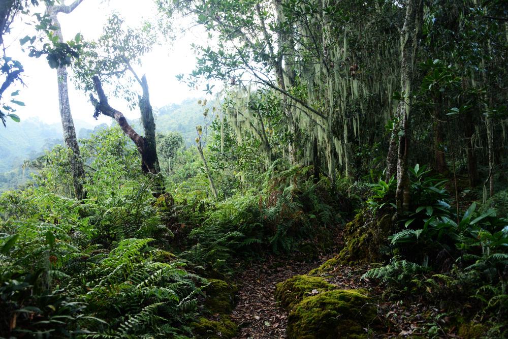
After about four hours of hiking, I reached Nyabitaba Camp, where I’d spend my first night. By this point I definitely felt like I was deep in the mountains, so I was amazed to discover that I still had cell phone reception.
Nyabitaba sits at roughly 2,650 meters (8,700 feet). It was a relatively warm and comfortable camp with several large huts. The trek there was by far the easiest day of the journey, both because of the gentler terrain and the warmer temperatures.
The next morning I continued toward Mt. Stanley. As I gained elevation, the forest began changing. Moss became much more abundant and the trees were noticeably shorter than those I had passed on the first day.
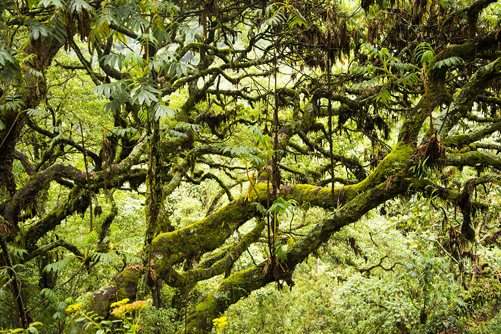
The second day also started much steeper than the first. At one point I climbed high enough to look down across the forest and see the tops of trees that had previously towered above me. Many were almost completely covered in moss.
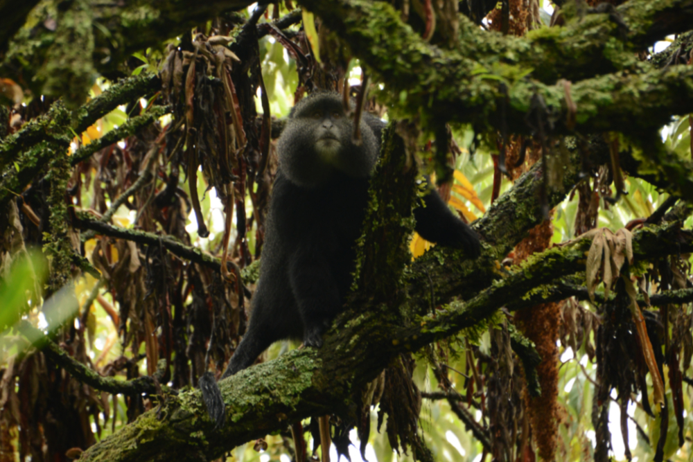
I got lucky when I heard branches rustling and spotted this large monkey in a tree. It was alone and didn’t seem particularly concerned by my presence. I had my camera at full zoom, so it was much farther away than it appears in the photograph.
I later saw several other monkeys, but they were too far away for me to identify them. I originally wondered whether this one might be a golden monkey because of its facial features, but I couldn’t get a good enough look to confidently identify the species.
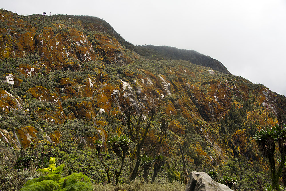
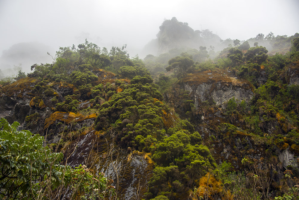
The scenery changed quickly as I approached 3,000 meters (10,000 feet). Trees were still present, but many were becoming shorter and more shrub-like. Mosses and lichens covered the rocks in shades of green, orange and red, creating some beautiful scenery.
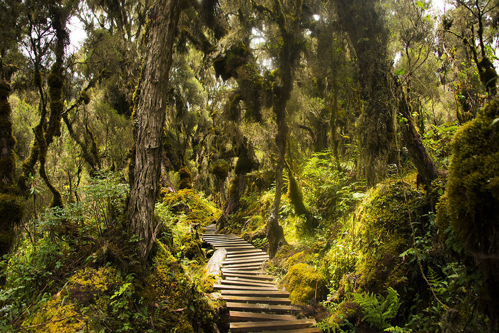
By around 3,350 meters (11,000 feet), I was entering the high-altitude heath and bog environments that make the Rwenzoris so distinctive. Boardwalks cross some of the wettest sections, making terrain that would otherwise involve slogging through deep mud surprisingly manageable.
It had been more than half a decade since I had traveled through anything resembling this environment. The last time was during my expedition to Carstensz Pyramid. That climb was ten times harder, but I had always found this type of landscape beautiful. I was definitely happy to see it again, despite the nightmares of Carstensz it brought back!
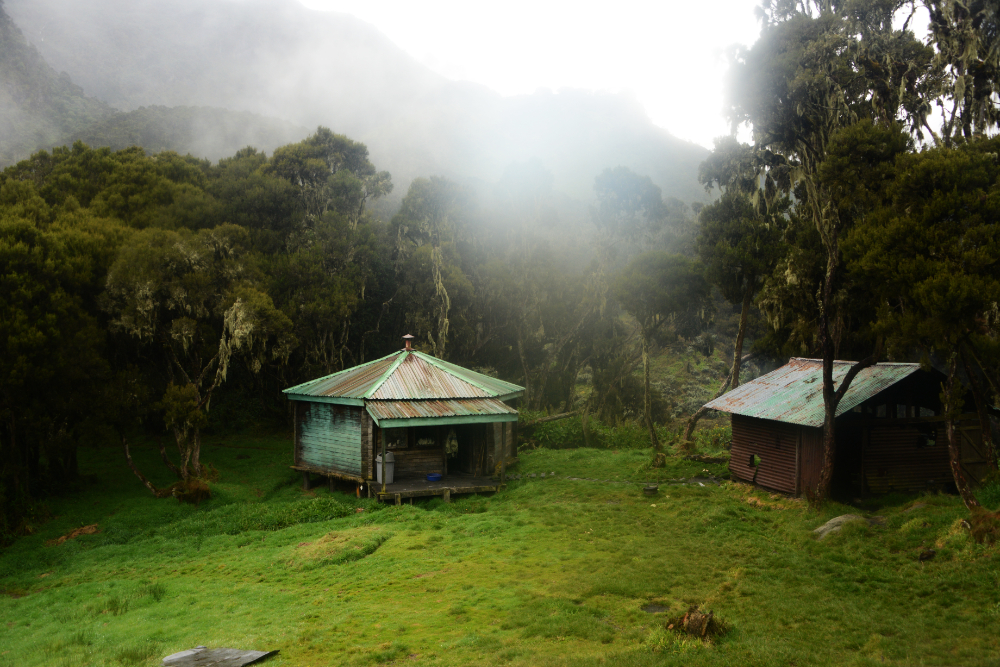
At around 3,400 meters (11,200 feet), I reached John Matte Camp. All the camps I stayed at in the Rwenzoris were actually huts. I had expected to spend the expedition sleeping in a tent, so having solid huts felt like an enormous luxury.
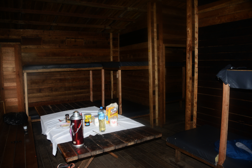
The huts were spacious and surprisingly comfortable. John Matte had room for at least a dozen people, but that night I had the entire place to myself.
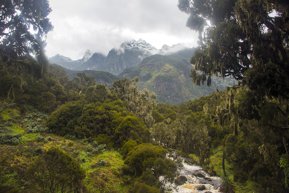
From John Matte Camp I got one of the most beautiful views of the entire trip. For the first time, I could clearly see the snow and ice of the higher Rwenzori peaks in the distance.
My goal the next day was ambitious: skip the usual overnight stop near Lake Bujuku and continue all the way to Elena Camp near the glaciers of Mt. Stanley. Looking toward those distant peaks, it seemed almost impossible to cover that much ground in a single day.
After leaving John Matte the next morning, we crossed the Lower Bigo Bog. The bog stretches for roughly a mile (1.6 kilometers), and much of the route crosses it on a long wooden boardwalk.
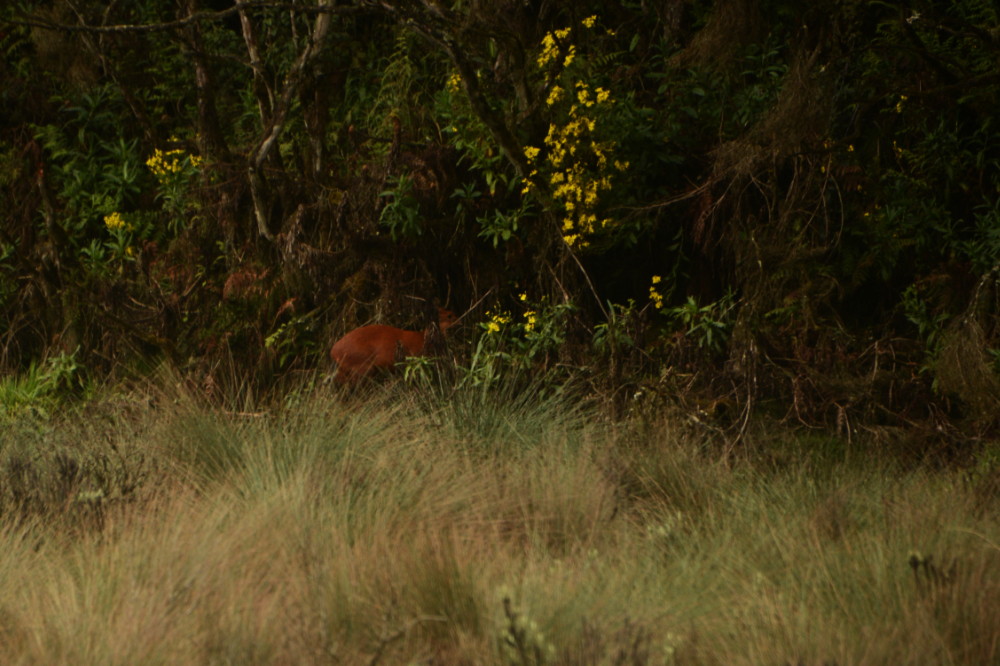
Toward the end of the bog I spotted this small antelope near the trail. I saw several others on the return journey, although most stayed deeper in the vegetation.
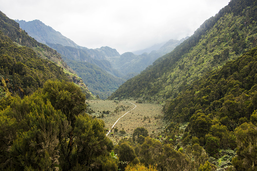
After what felt like a never-ending boardwalk, the trail climbed steeply above the bog. From higher ground I got a great view looking back across the entire wetland and could see the boardwalk stretching across it below.
My guide told me the boardwalk had been constructed decades earlier and that trekkers once had to cross these areas directly through the mud. I’ve done that before, and I can promise it’s not fun!
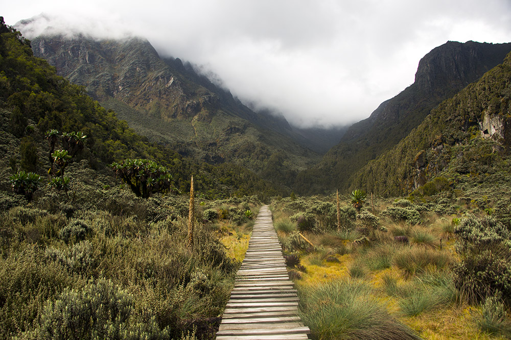
Eventually I reached the Upper Bigo Bog, another vast stretch of saturated ground crossed by a long boardwalk. These wetlands are part of what gives the Rwenzoris their strange, almost prehistoric appearance.
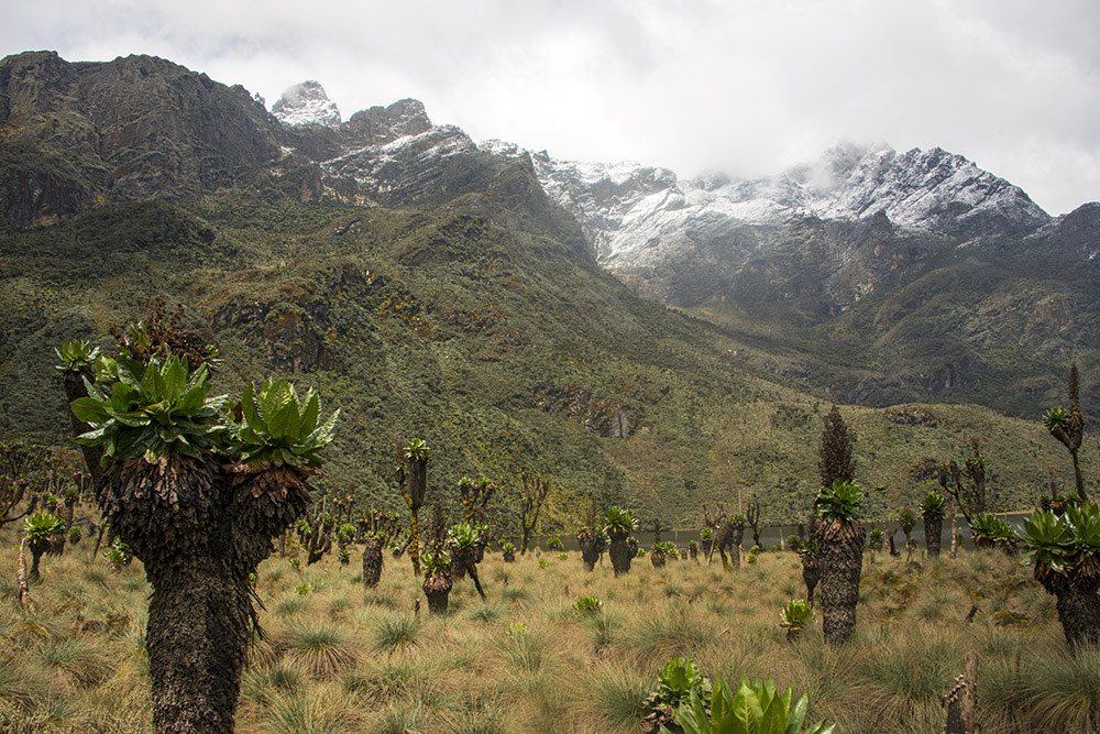
Beyond the boardwalk, the trail continued toward Lake Bujuku through some of the Rwenzoris’ most distinctive high-altitude vegetation, including giant lobelias. A short section of bog still had to be crossed without a boardwalk, but compared with the brutal mud I encountered while climbing Carstensz Pyramid, this was easy.
By now the snowy peaks were looming directly above me. Most trekkers stop around Lake Bujuku for the night, but we planned to continue climbing all the way to Elena Camp.
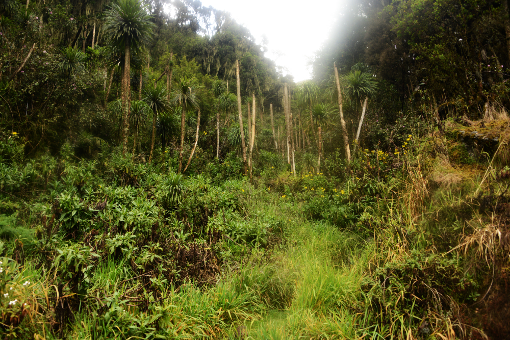
After leaving the bog, I encountered some of the steepest terrain of the journey so far. It doesn’t look particularly bad in the photo above, but this was where things started getting nasty. The trail became incredibly steep and muddy, and then a light drizzle started falling just to make the climb a little more annoying.
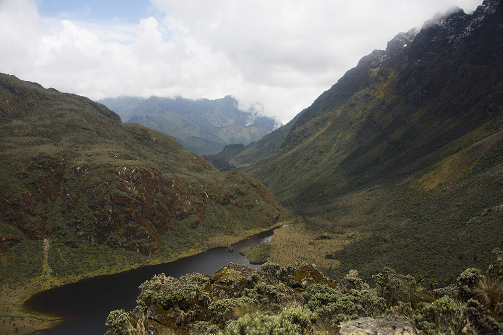
The reward for gaining elevation so quickly was an incredible view back over Lake Bujuku and the valley we had crossed earlier in the day. From above, I could trace much of our route through the bogs before the trail turned away from the lake and began climbing steeply toward the higher mountains.
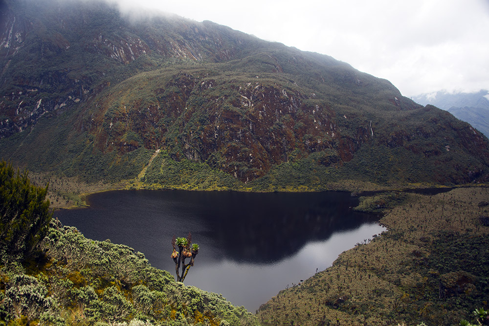
Lake Bujuku sits at roughly 3,900 meters (12,800 feet), surrounded by some of the highest peaks in the Rwenzoris. From here the rainforest of the first day felt like an entirely different world.
I still had more climbing ahead before reaching Elena Camp, but soon after leaving the lake I began encountering snow along the trail. For me, this marked the end of the approach through Rwenzori Mountains National Park and the beginning of the actual climb of Mt. Stanley.
The Adventure Continues: Climbing Mt. Stanley
Explore More of Uganda
Mt. Stanley • Rwenzori National Park • Kampala • Ziwa Rhino Sanctuary
