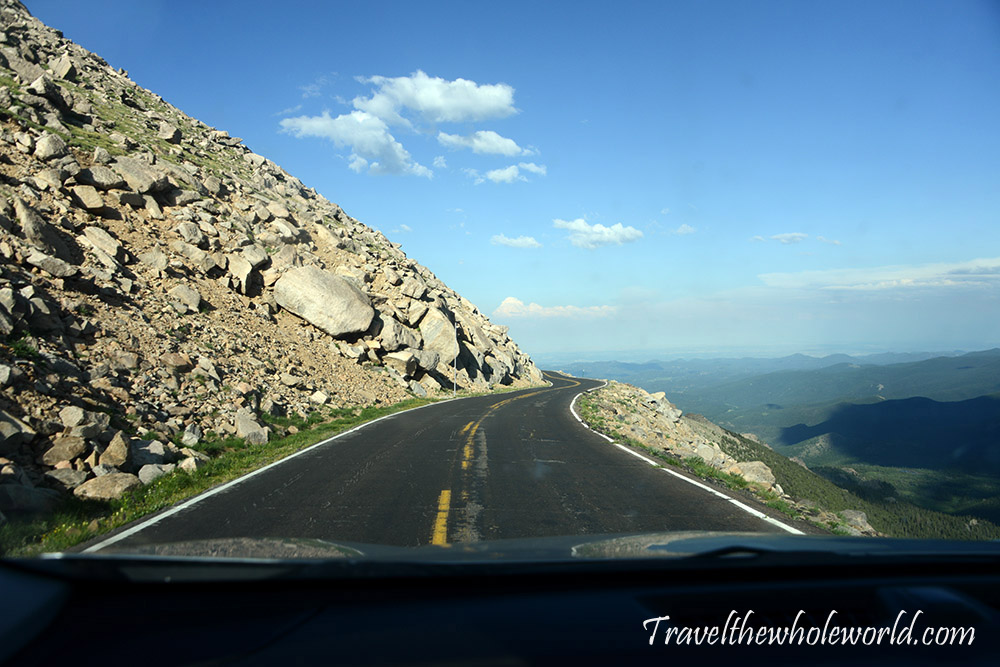
Mt. Evans is a unique place, not just in the United States but anywhere in the world. The mountain itself is more of a gentle rolling peak with a rocky summit, but what makes it special is that you can actually drive nearly to the top. At an altitude of around 14,000 feet (4,300 meters), this is an incredibly high road and one of the highest paved roads in North America.
There are, of course, plenty of hiking trails that lead to the summit of Mt. Evans, but since I came here to acclimatize for another trip, I took advantage of the easy access and slept near the summit in my car. The car camping wasn’t too bad. I had paid a bit more for an SUV and was able to stretch out in the back relatively comfortably.
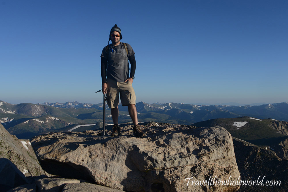
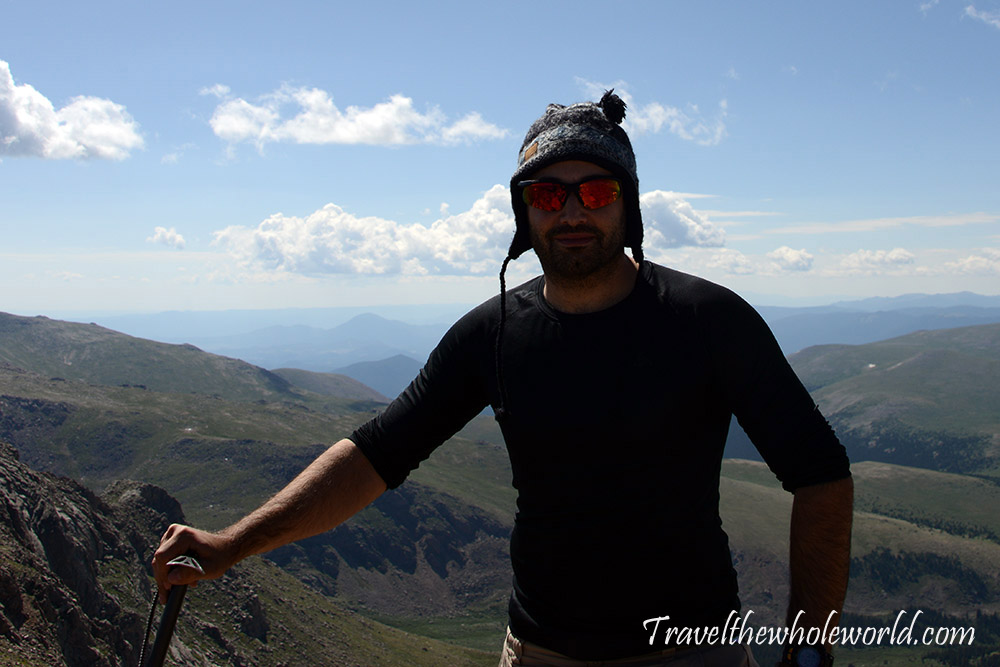
To my surprise, giant moths surrounded the vehicle at night, and some were so large that they almost hurt when they flew into me. Safely inside my vehicle, I went to sleep at the end of July and woke up at 6am with frost covering my windows. I took longer to get ready than I’d like to admit and got this photo of me at the summit just before 7am. From here I started my misadventure, and this might be the only climb I’ve ever done where I started at the top of a mountain!
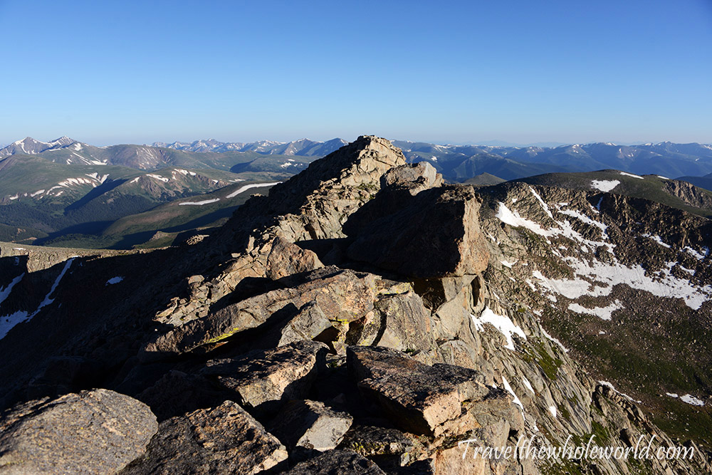
My goal was to do the Mt. Evans to Bierstadt traverse. Both mountains independently are among Colorado’s easier 14,000-foot peaks to climb, but the traverse makes things more challenging since you’re near 14,000 feet (4,300 meters) for much of the route and have an exposed scramble along the way. The first section involved descending from the summit on a Class 2 trail that was pretty rocky and occasionally required hopping across boulders.
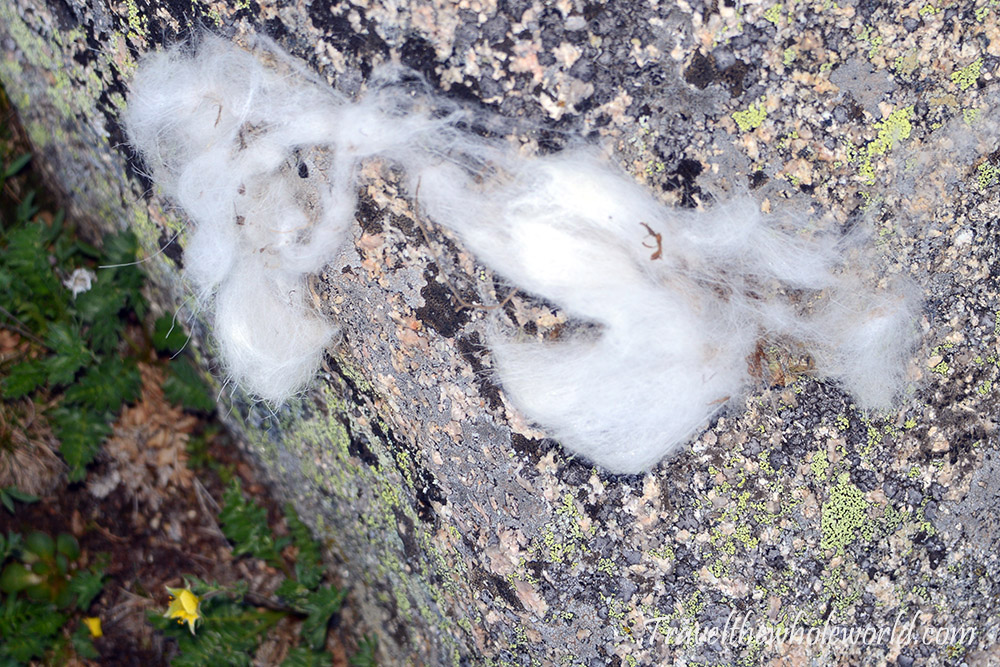
Even though the terrain was easy and there was plenty of space, a mountain goat seemed to have left behind some fur here. I wondered if the summer heat made it warm enough that the goat intentionally used these rocks to help shed a layer.
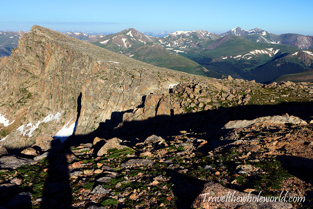
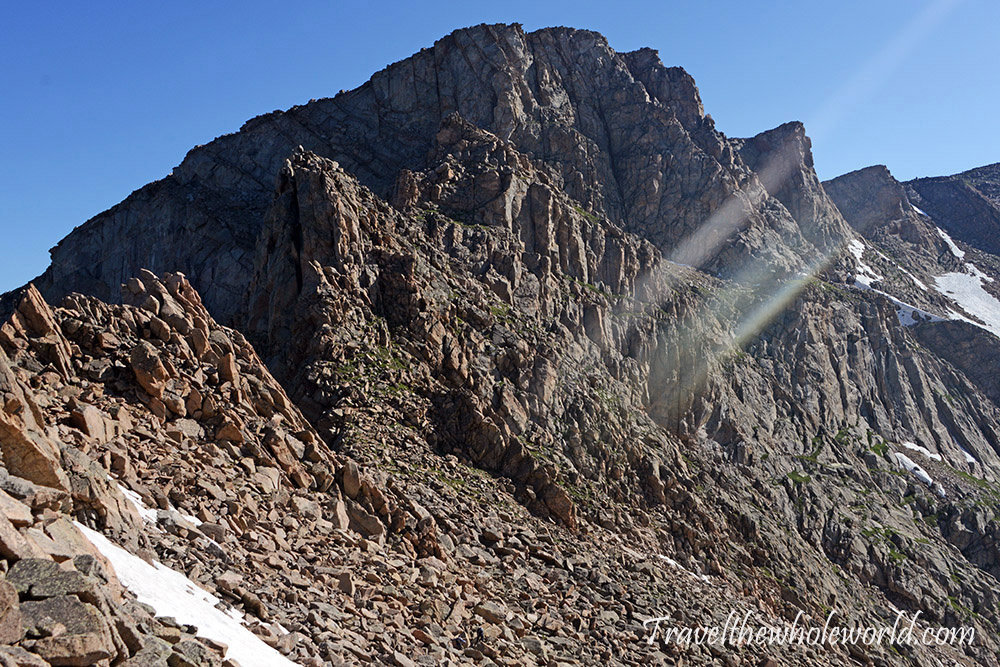
After descending for a while, I came to this flat area that suddenly dropped into a cliff on my left. This was probably the easiest part of the entire traverse. Once it ended, I reached the crux of the climb: the famous Sawtooth. The exposed rock face on the left is essentially the beginning of the Sawtooth, a Class 3 exposed ridge.
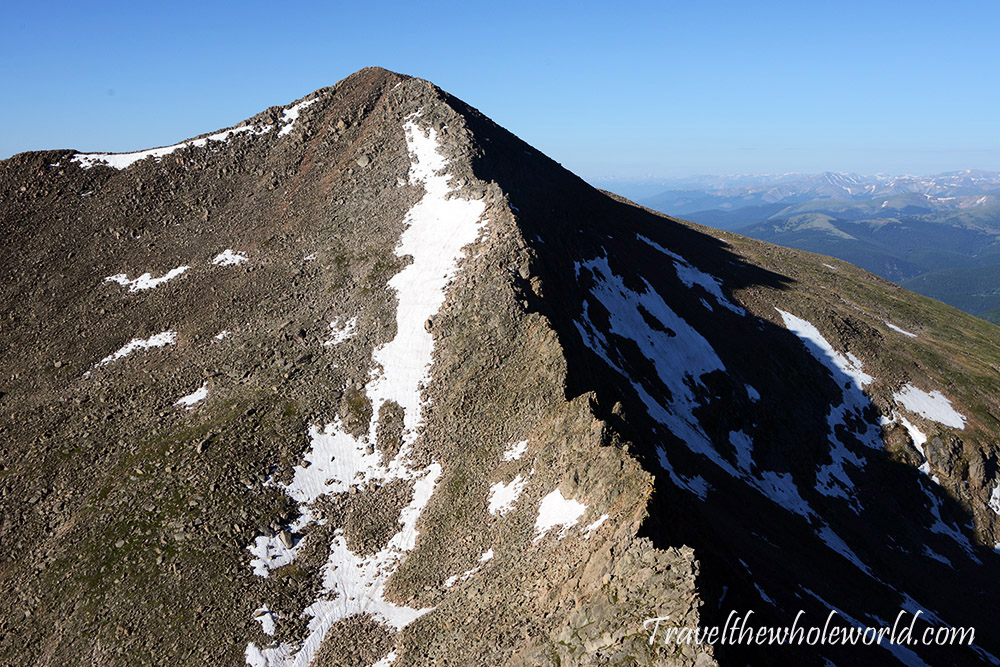
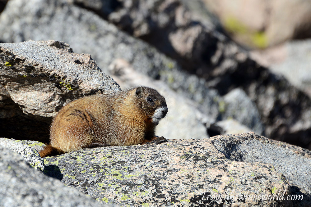
Before starting the Sawtooth traverse, I got an excellent view of Bierstadt. Mt. Bierstadt barely tops 14,000 feet and would become my fifth Colorado 14er. The traverse from Mt. Evans to Bierstadt can take several hours, and for me this could have turned into an eight-hour day since I originally planned to return all the way back to my car. The views were so great that I stuck around for a bit to do some photography and was even joined by this marmot.
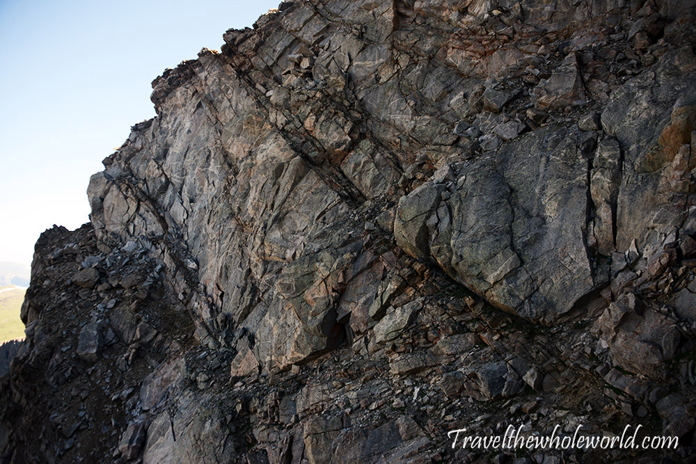
My big regret from the Sawtooth was that I didn’t take many photos, except for this one above during my descent. The scramble itself was pretty easy and straightforward, and I’d say that for the most part the exposure was minimal. If you don’t have much climbing experience, however, some sections could certainly feel uncomfortable. Luckily for me, I had recently done several Class 4 and 5 climbs, so this felt like a break from my normal routine.
The only real mistake I made on the traverse was knowingly going the wrong way because I thought it might be easier. The actual route sticks to the ridge along the left side of the photo. Closer to the center were some nice, gentle green slopes that looked like they might save me time. I flew through that terrain, but ultimately lost any advantage when the slopes ended in steep, nearly vertical gullies. I almost turned around, but managed to downclimb from there and get back onto the proper route.
It was my next decision that led to the real misadventure of the day. There had been zero clouds in the sky, but after 9:30 they started appearing, which felt a bit early and also went against the forecast. No surprise there! A major concern when climbing Colorado 14ers is getting off exposed high terrain before the afternoon thunderstorms arrive. I could easily reach Mt. Bierstadt before noon, but I still had the problem of climbing all the way back up Mt. Evans to reach my car.
I was very close to turning around when I met two other climbers going in the opposite direction. Their goal was Mt. Evans, which they would reach at roughly the same time I reached Bierstadt. They suggested that I summit Bierstadt and, instead of crossing the Sawtooth again, simply descend the mountain to their car. After they reached Mt. Evans, they planned to descend another route, meet me below Bierstadt, and drive me back to my car.
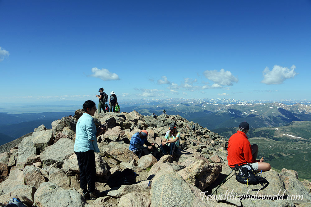
It was an extremely generous idea, and after making sure they were really okay with it, I accepted. With much less concern about being caught high on the mountain during a thunderstorm, I continued and reached the summit of Bierstadt at roughly 10:30am. The photo of me above wasn’t too impressive, but the picture below shows the relatively crowded summit.
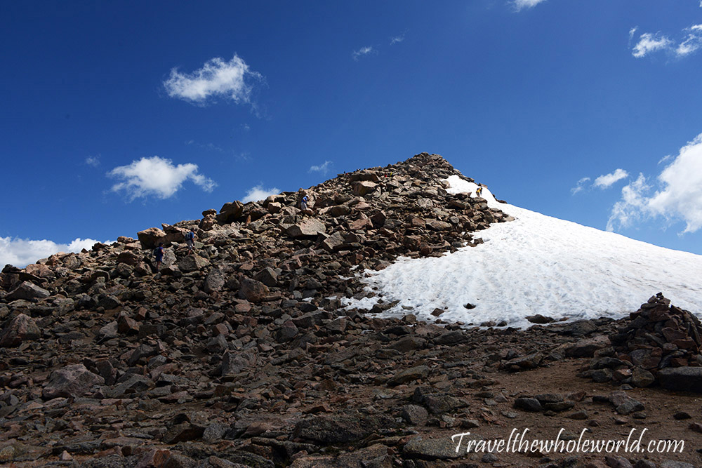
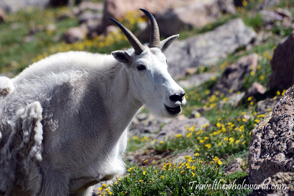
From the summit, I started descending toward their car on an easy trail. For a short distance below the summit the trail is a bit rocky, but it quickly changes into an easy hike. With the luxury of time, I was able to hang out near a group of mountain goats I found farther down the trail. There were about four of them, and they seemed pretty indifferent to me and all the other people hiking by.
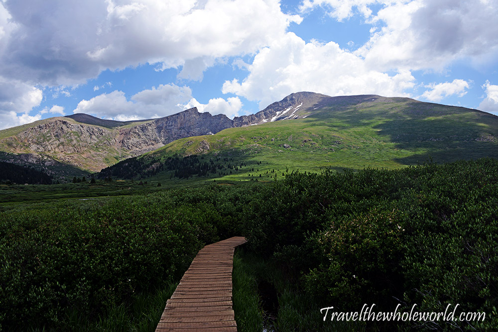
I wish I had taken more pictures because I found the descent from Bierstadt to be pretty beautiful. I was glad I came this way and had a chance to see the mountain at lower elevations where trees and bushes could grow. The dark green vegetation, small lakes, and marshes were a bit unexpected for me. I reached the parking lot and their car at about 12:30 after a leisurely two-hour descent.
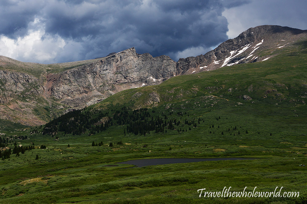
I knew I’d arrive before them, but the problem was that I had no way of knowing how much earlier or where they were along the route. In the photo above, you can see Bierstadt on the right, with the drop to the left marking the Sawtooth traverse. Their plan was to return from the grassy ridge on the far left of the photo. I hoped I’d be able to spot them with my zoom lens, but I never did.
I had also failed to tell them that I had a flight that evening at 11pm. After waiting several hours, I began getting anxious. My stress got worse when some locals told me that driving from there to Mt. Evans could take nearly two hours, and that the “easy” descent the two climbers had planned wasn’t necessarily so easy after all. It might take them much longer than expected.
I’d need roughly two hours to get back to Mt. Evans, another two hours to reach the Denver airport, and ideally another two hours at the airport before my flight. Once it hit 4:30, I was too stressed to keep waiting. For the first time in my life, I had to hitchhike. I hated asking people for help, but I didn’t have much choice. Most people were sympathetic but couldn’t offer me a ride. At first I wasn’t very ambitious about asking, but eventually I became desperate enough to stand at the side of the road and give the classic hitchhiking thumbs-up.
Once I started doing this, I found a ride almost immediately and made it all the way to Idaho Springs. I was a bit disappointed to discover that Idaho Springs wasn’t where the road up Mt. Evans started, but instead was a town I didn’t even remember driving through. From there I had trouble finding another ride. After waiting about 30 minutes, I downloaded Uber but found there were no cars available.
Luckily, a short time later a wonderful local picked me up and initially offered to drive me two miles. I was worried about ending up somewhere without service, but figured I should keep inching along regardless. After about two miles, the good Samaritan changed his mind and said he’d drive me to the Mt. Evans entrance. Then Summit Lake. The next thing I knew, he had taken me all the way back to my car.
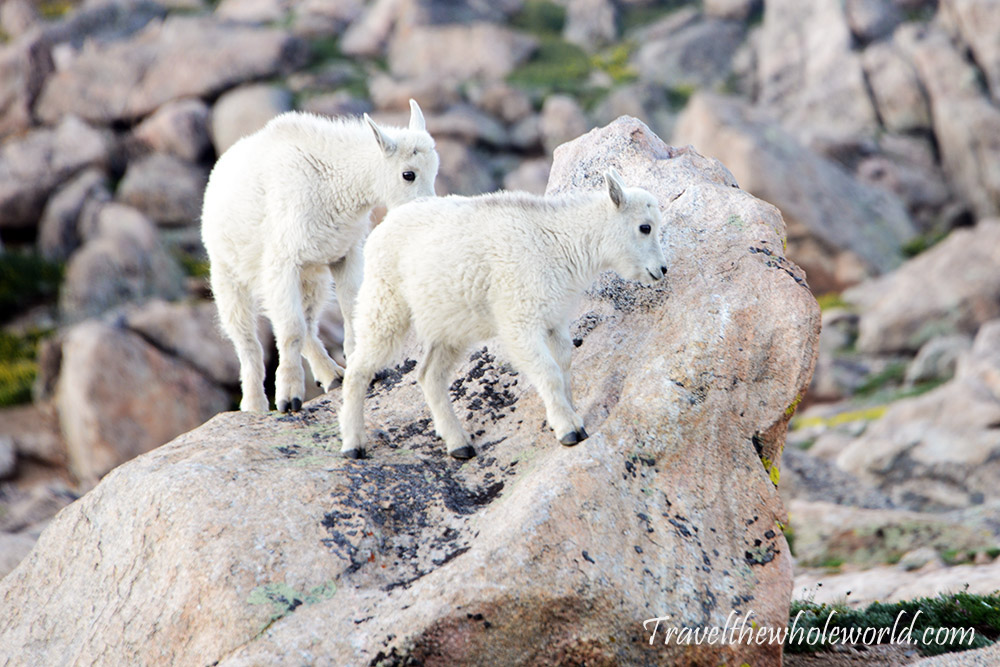
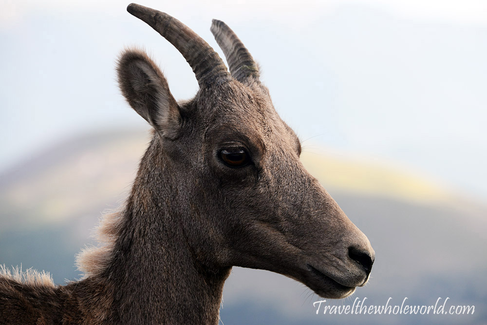
Hitchhiking turned out to be rather efficient, and I reached my car before 6pm and no longer had to worry about missing my flight. Although the situation was incredibly stressful, in the end I’m glad it happened. If I had turned around earlier, I would have missed the summit of Mt. Bierstadt and, maybe even more importantly, wouldn’t have seen these mountain goats and bighorn sheep back on Mt. Evans when I returned!
Explore More of Colorado
Ellingwood Point • Mt. Elbert • Pyramid Peak • Mt. Evans & Bierstadt Traverse • Aspen • Denver • Grand Junction • the Snowmass Wilderness