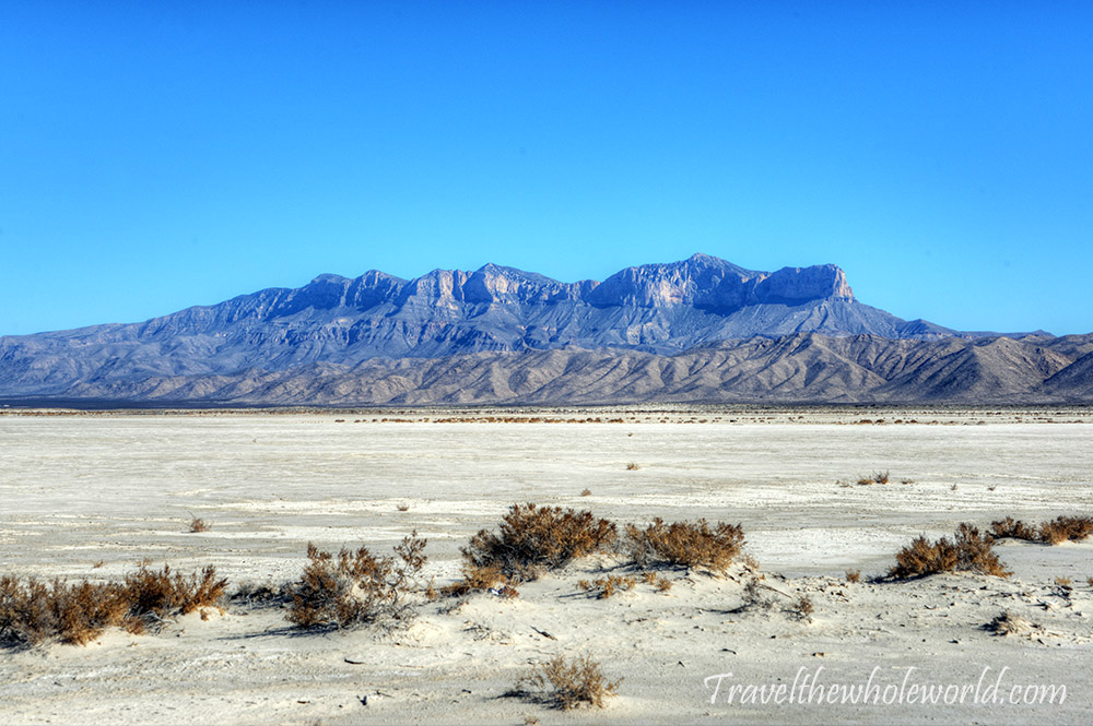
Guadalupe Peak is a hidden gem that somehow many people in Texas don’t even seem to know about. In their defense, Texas is enormous, so it’s kind of hard to know everything in such a giant state. At 8,751 feet (2,667 meters), Guadalupe Peak is the highest point in Texas and makes for an excellent day hike. Some of the views across the surrounding mountains and desert made this one of my favorite 50 state high points. This first photo was taken as I approached Guadalupe Peak from the west and saw it for the first time.
Starting the Guadalupe Peak Trail
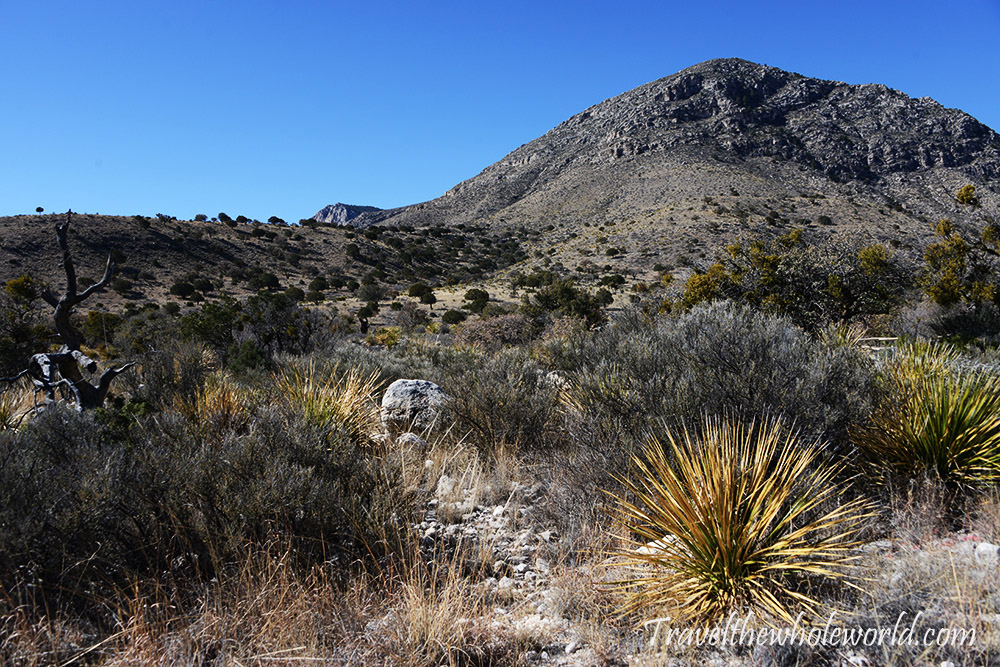
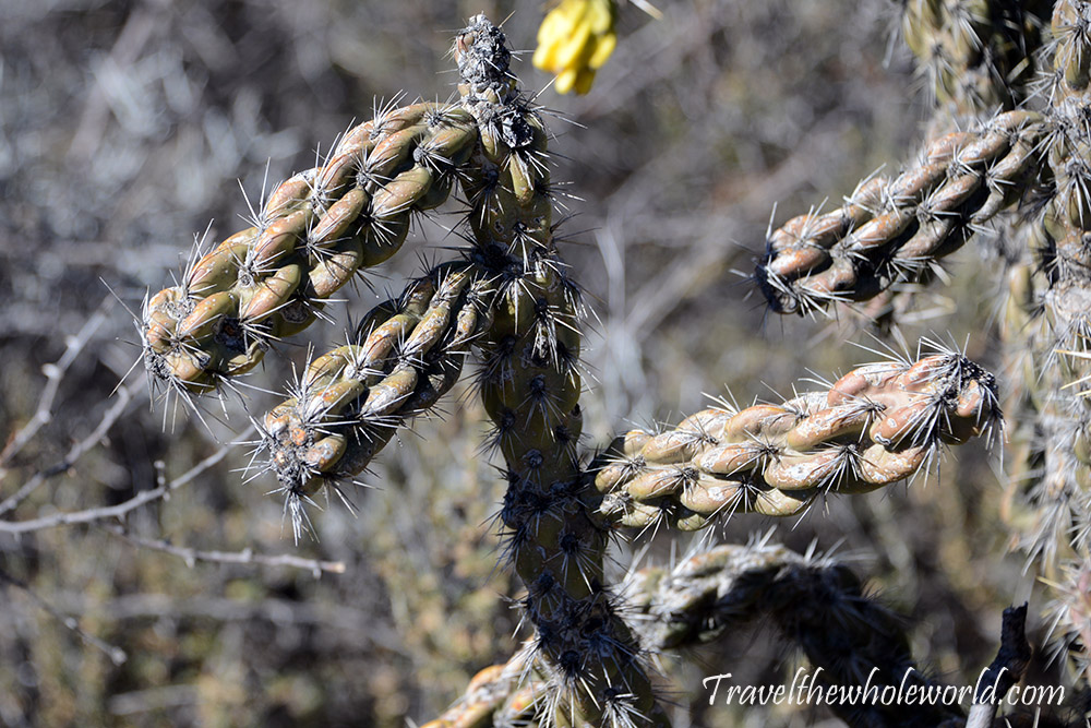
The hike begins around 5,700 feet (1,737 meters) at the point photographed above. The lower elevations are filled with several species of cactus, including the one photographed below. Either they disappeared as I climbed higher or I simply stopped paying attention to them, but gaining roughly 3,000 feet of elevation produces some noticeable changes in the landscape and vegetation.
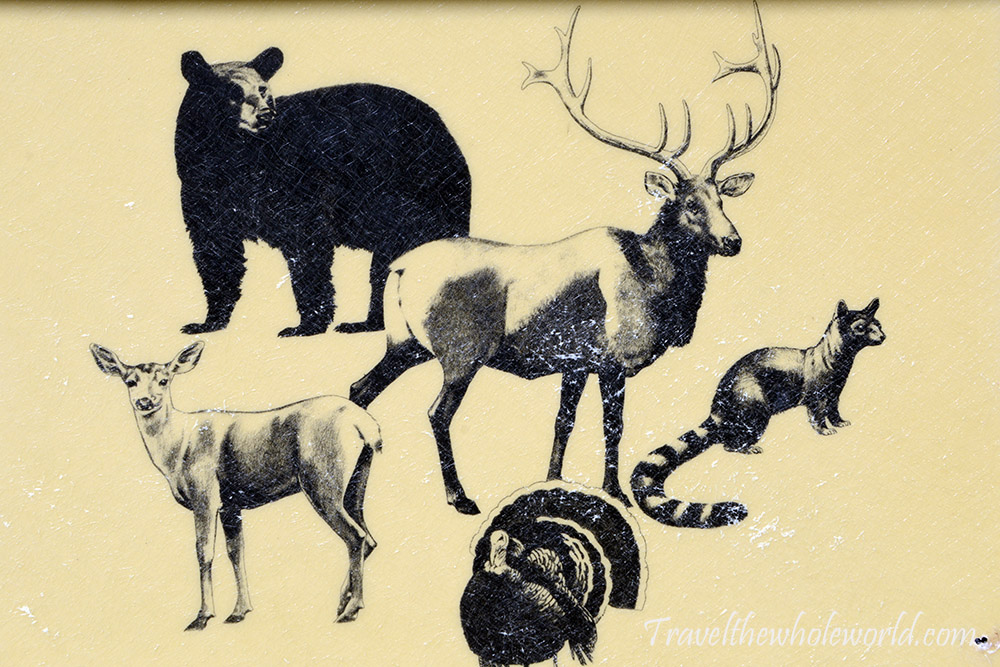
Right at the beginning of the hike was this wildlife sign showing some of the animals found in the surrounding mountains. After driving across what seemed like endless empty flatlands, it was strange to think that these mountains provided habitat for animals such as elk and black bears. I didn’t see any large wildlife myself, but I was hiking one of the more heavily traveled trails in the park.
Climbing the Switchbacks
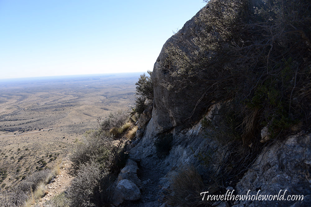
The hike early on wasn’t too exciting. You immediately begin climbing a long series of switchbacks without many views. The switchbacks weren’t especially steep, but without being able to see much of my progress, it didn’t feel like I was accomplishing much.
Once I got close to 7,000 feet (2,100 meters), things became more interesting. Instead of nothing but dry plants and terrain, there were large rocks scattered around the trail, some even providing a nice break from the sun. Looking back from here, I could finally see some of those annoying switchbacks below.
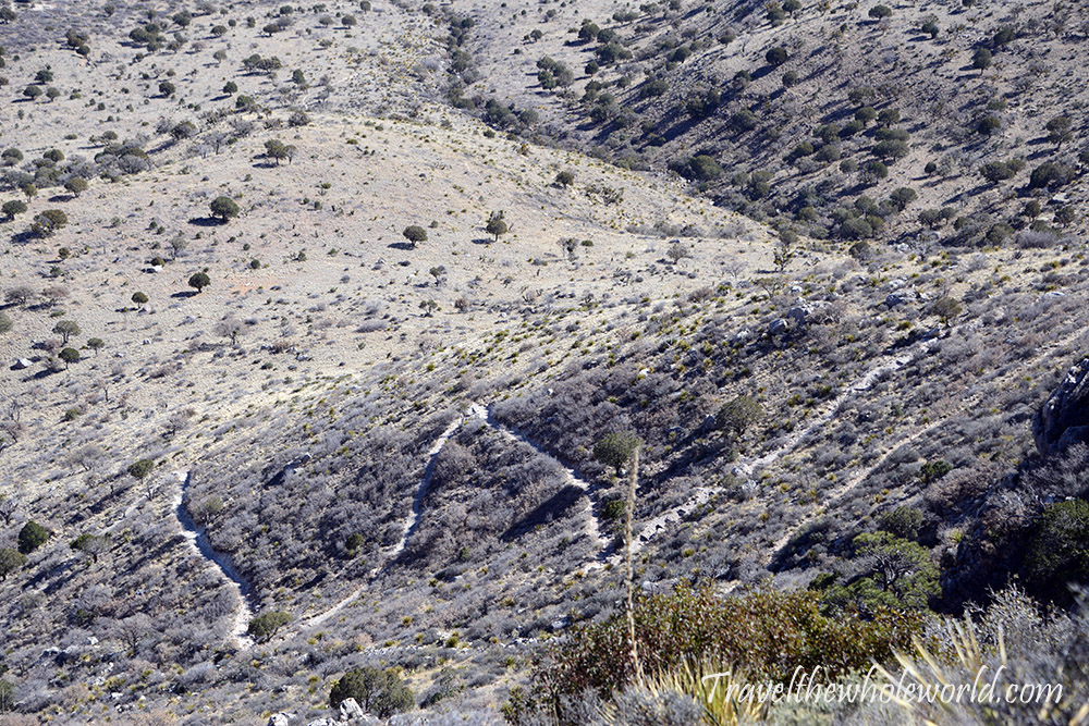
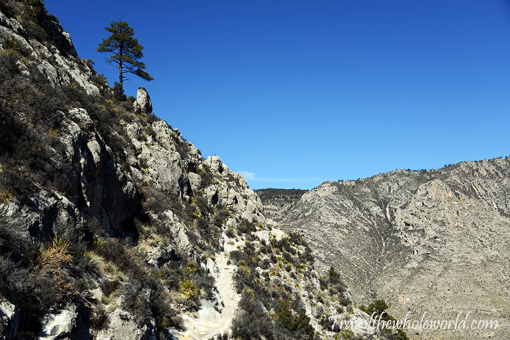
My fitness wasn’t great at the time, but I still hiked at a reasonable pace and in roughly an hour I had reached around 7,300 feet (2,225 meters). From here the hike became much more interesting. I could finally tell how far I’d climbed above the flatlands below, and even the trail itself became more scenic.
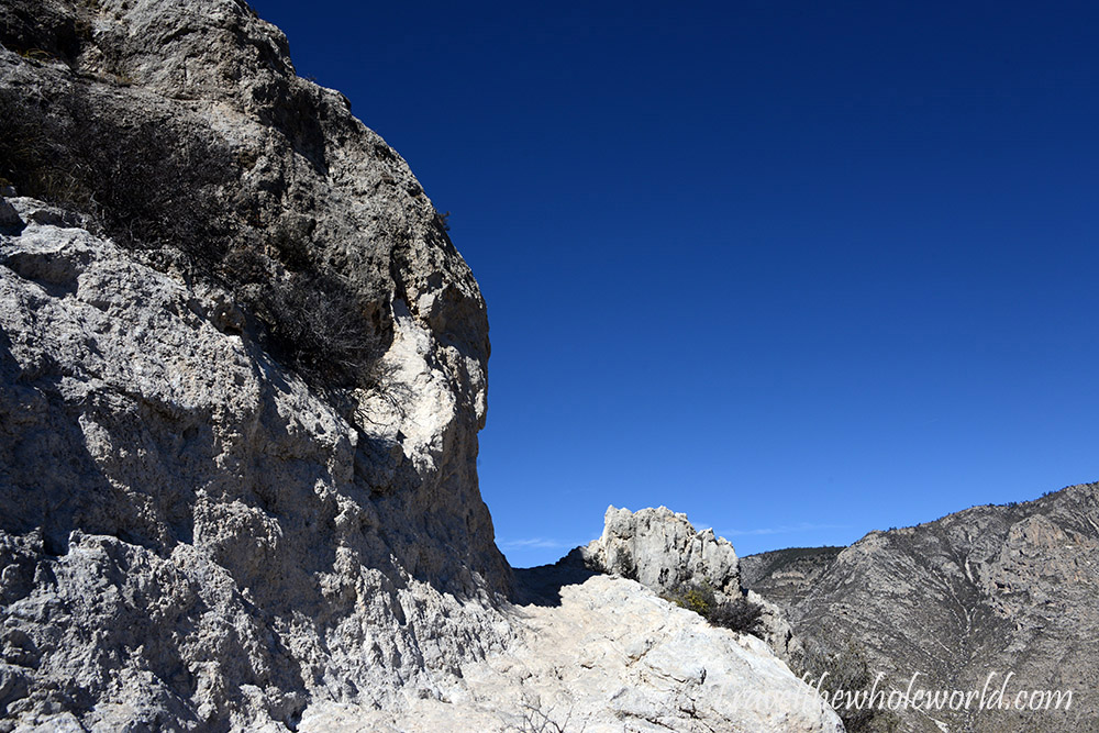
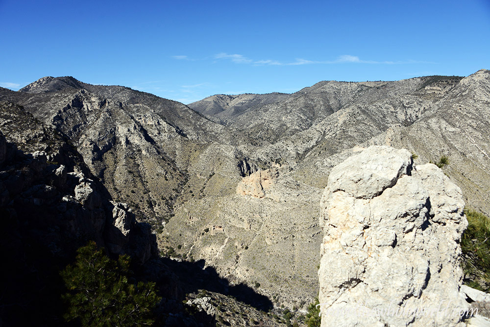
This view from roughly halfway up was honestly one of my favorites. I think I did a decent job capturing it with this photo, but a panorama would have been required to properly show the entire scene. The trail suddenly made a hard left, where a small rock outcrop made itself almost impossible not to climb. From there I could look across a giant bowl surrounded by mountain ridges.
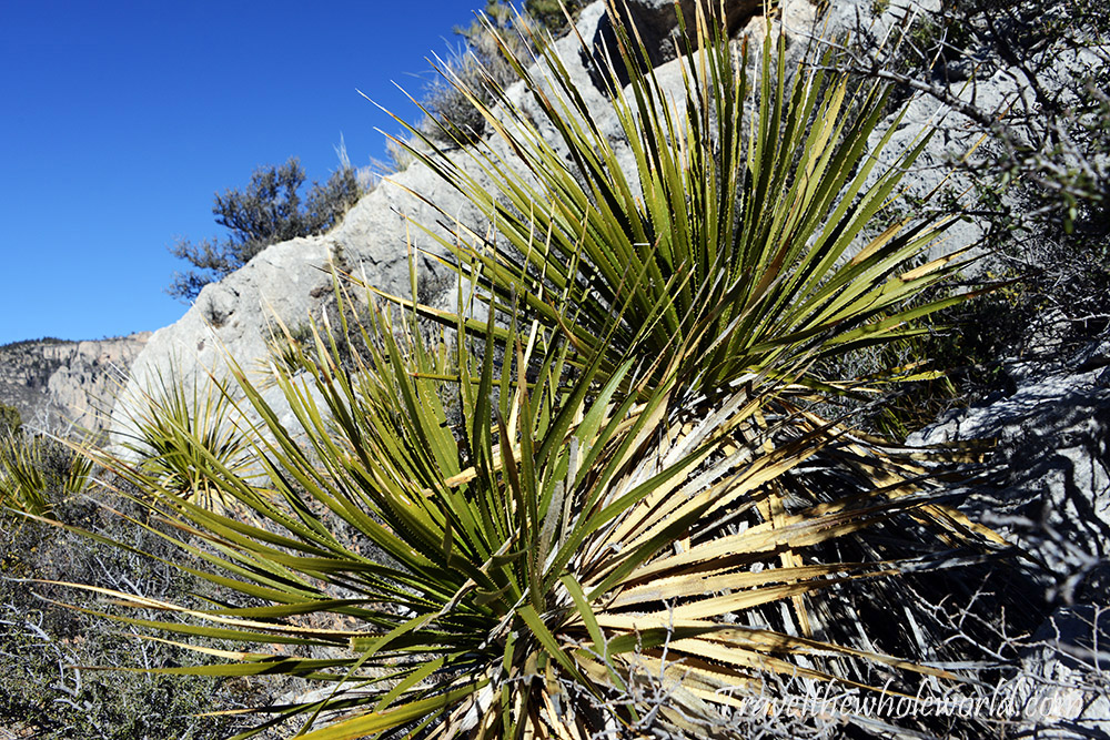
I wish I’d paid more attention to the vegetation during the hike, but I’m pretty sure I wasn’t seeing many cacti anymore after about an hour of climbing. These plants above seemed to become much more common at the higher elevations.
Forest & Ice
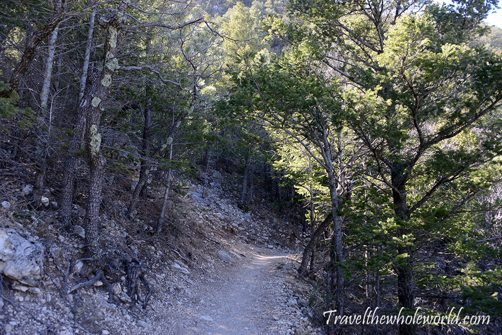
What I really wasn’t expecting was this forest. Slightly after the halfway point, I entered an area of tall trees that felt completely different from the dry desert terrain where I’d started. Some of the trees looked to be more than 30 feet (10 meters) tall, and the shade was a welcome change after hiking in the sun.
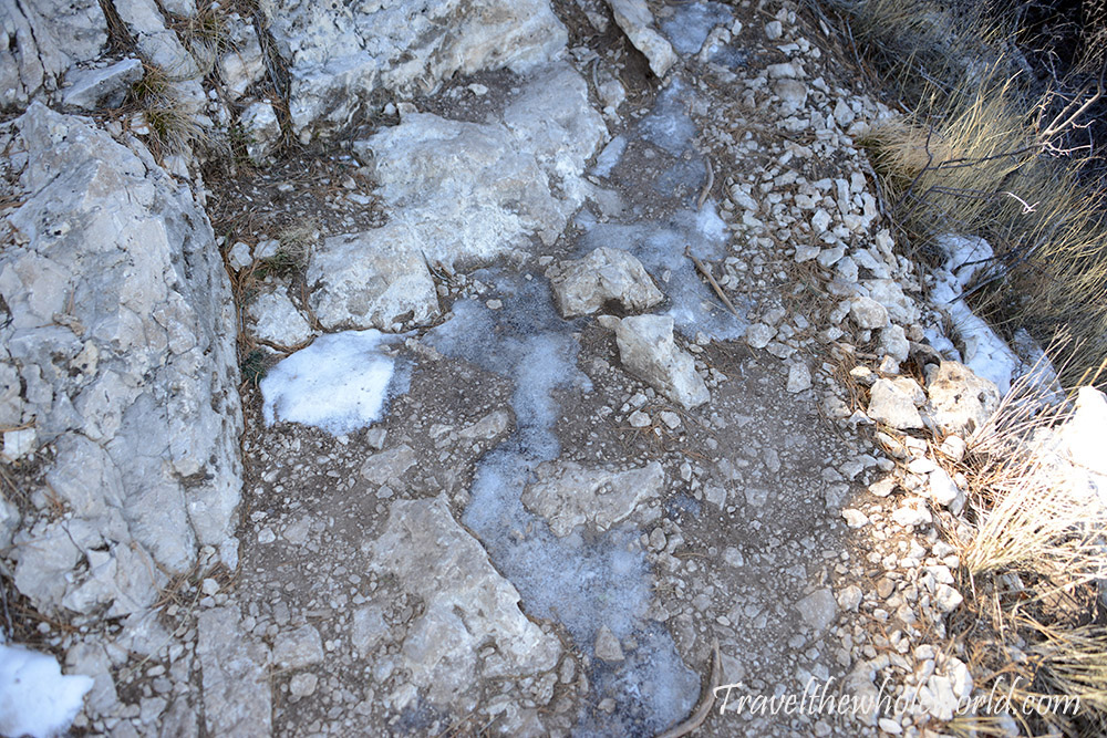
The trees also sheltered something else I wasn’t expecting to find: ice. I’d seen plenty of photos of Guadalupe Peak covered with snow, but everything had seemed so dry at the beginning of my hike that I didn’t expect to encounter any snow or ice myself.
Higher on Guadalupe Peak
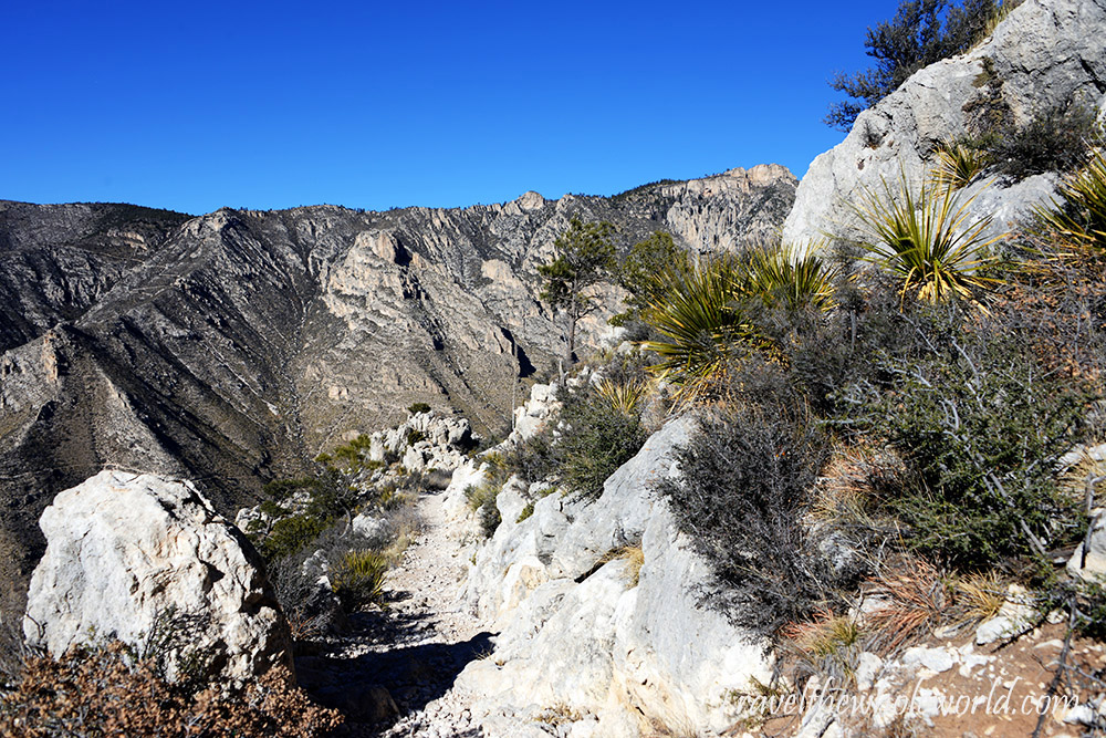
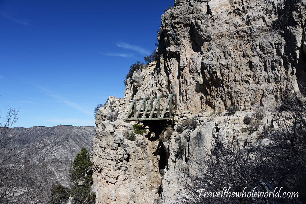
Before reaching 8,000 feet, I came to a short section of trail with some steep drop-offs. The trail itself was wide enough and a bridge had been built across one section, so it wasn’t particularly difficult, but looking back afterward gave me a much better appreciation for the terrain I’d just crossed.
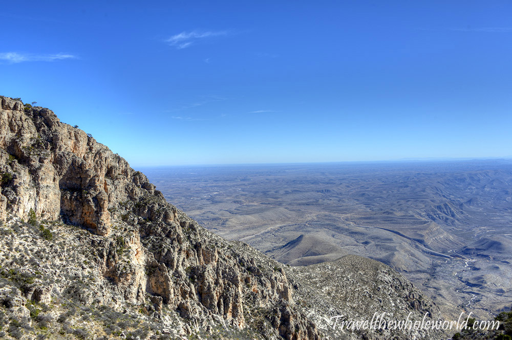
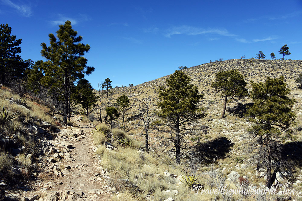
By now I was getting close to the summit and could see much farther across the surrounding landscape. Around 8,000 feet (2,440 meters), I came across yet another surprise. The trail suddenly leveled out and the terrain looked almost like a small section of open plains sitting just below a mountain summit.
El Capitan & the Summit
After a few more switchbacks, the summit was finally within reach. The trail had been obvious throughout almost the entire hike, although near the top there seemed to be a few different ways through the rocks before reaching the summit.
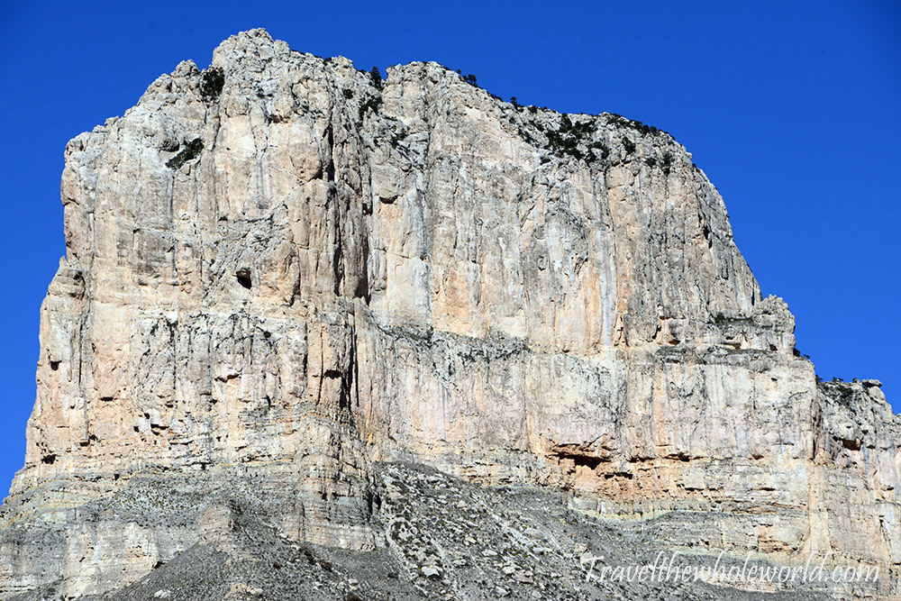
Another famous peak nearby is El Capitan. The photo above was taken from the road below, but I’m adding it here so you can compare the formation from below with the completely different perspective from Guadalupe Peak. Looking down on El Capitan from the summit, it was hard to believe I was seeing the same mountain.
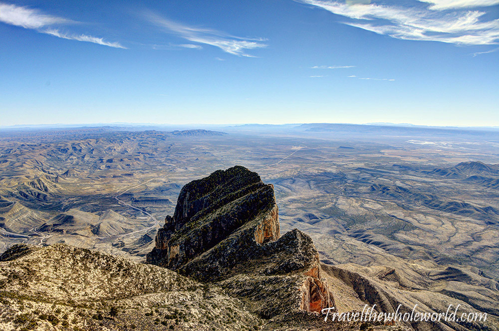
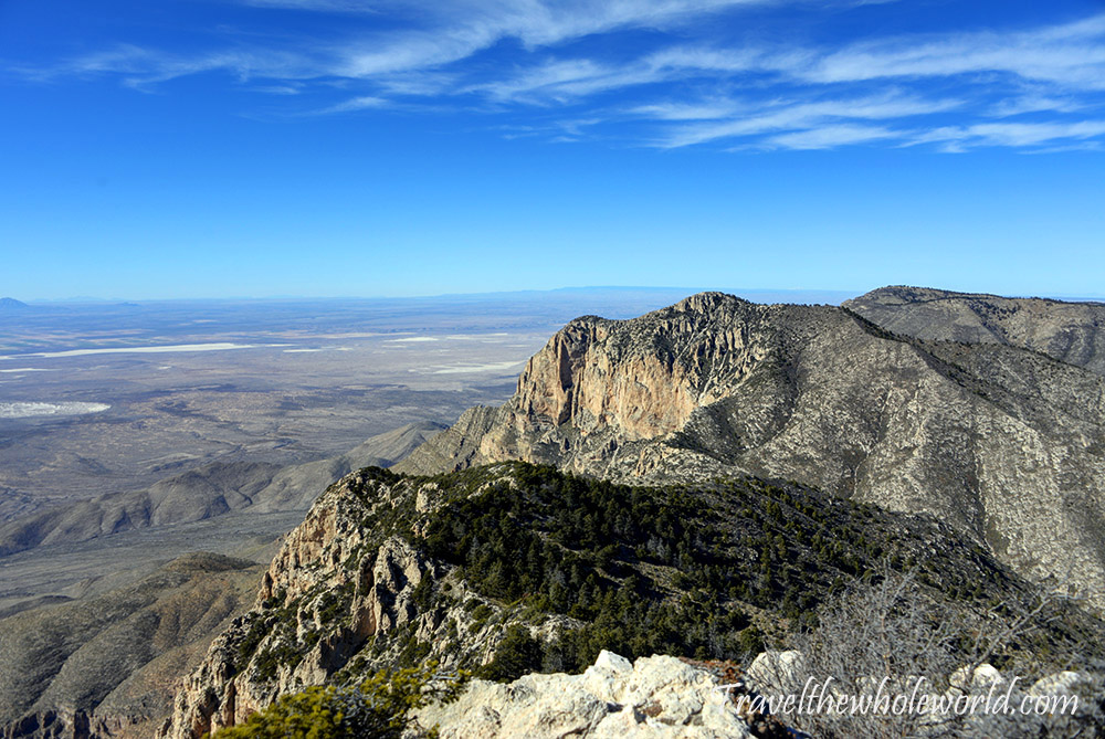
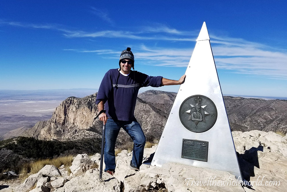
The view from the summit was one of the best mountain views I’d experienced in the United States. There was incredible scenery in every direction, and aside from the road required to reach the area, there seemed to be almost nothing but wilderness stretching toward the horizon. The lighter patches visible in the distance are salt flats, which can also be seen in my first photo.
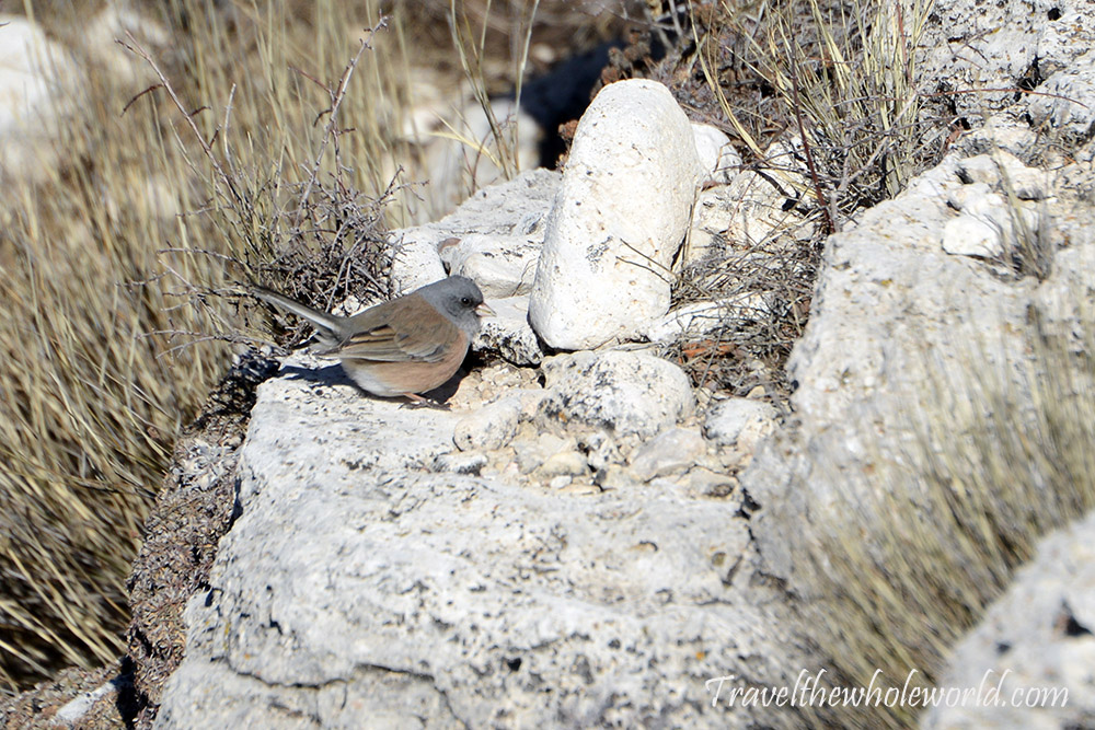
I had hiked alone for almost the entire route, but just below the summit I finally met two other small groups. Aside from us and a few birds that had cheated and flown to the top, we practically had the whole place to ourselves.
Guadalupe Peak was definitely one of the highlights of my 50 state high points. Even if you’re not trying to climb every state high point, this is a hike I’d highly recommend to anyone who enjoys mountains, hiking, and nature.
Explore More of Texas
Guadaloupe Peak • Austin • Big Bend • Dallas • El Paso • Fort Worth • Houston • San Antonio