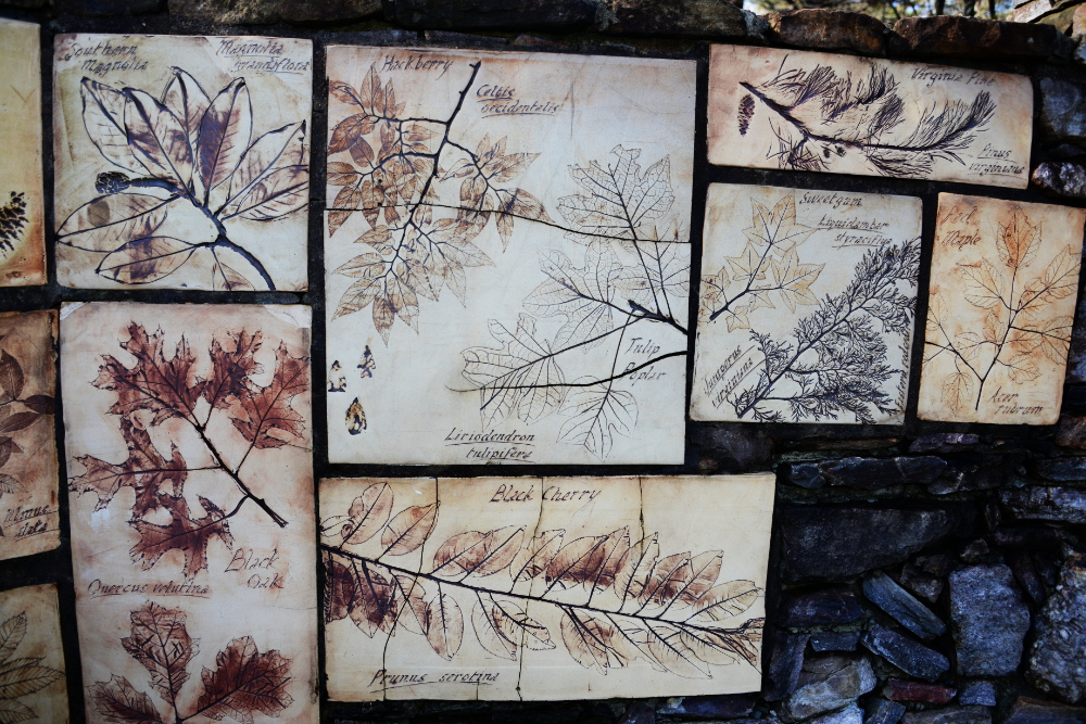
Climbing to the top of Cheaha Mountain was one of the easiest state high points I’ve done so far—at least among those that require actual hiking, rather than high points like Delaware or Kansas! I’m still a bit annoyed that I didn’t take a photo of the entrance to the trail, which had a large, impressive gate decorated with leaves from local trees. I at least took a photo of some of the details, but somehow missed the entire gate itself. According to the information there, the surrounding forest includes trees and plants such as Virginia pine, huckleberry, and black cherry.
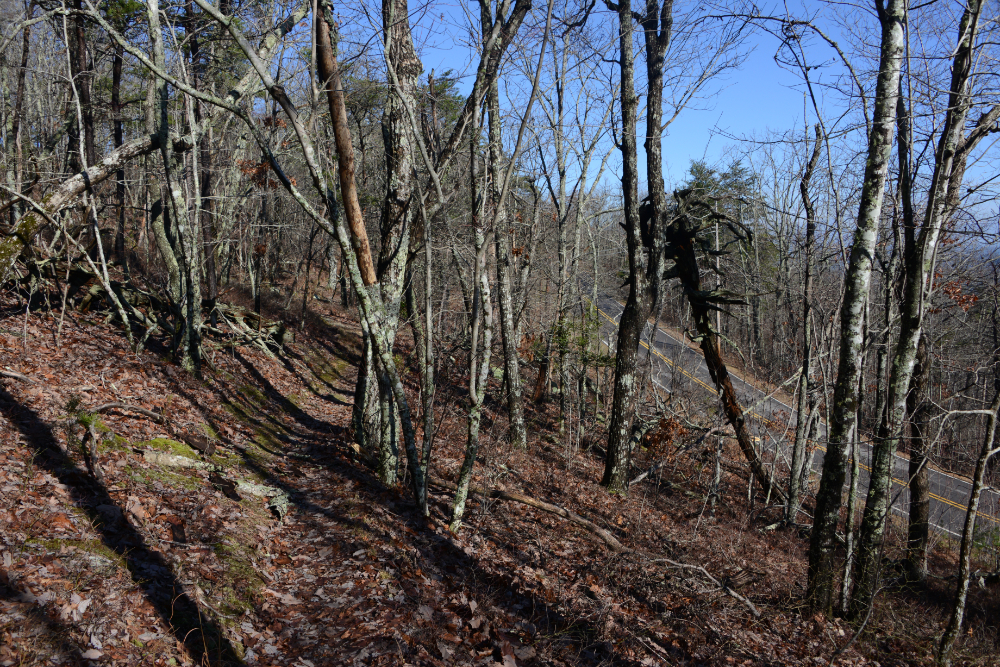
Since I visited in winter, I didn’t get to see the plants and trees in full foliage. Snow usually helps winter scenery, but more often than not this is the kind of winter landscape you can expect in Alabama. Nearly ten years earlier I had hiked somewhere else in the state and was surprised to find traces of snow, so it can happen!
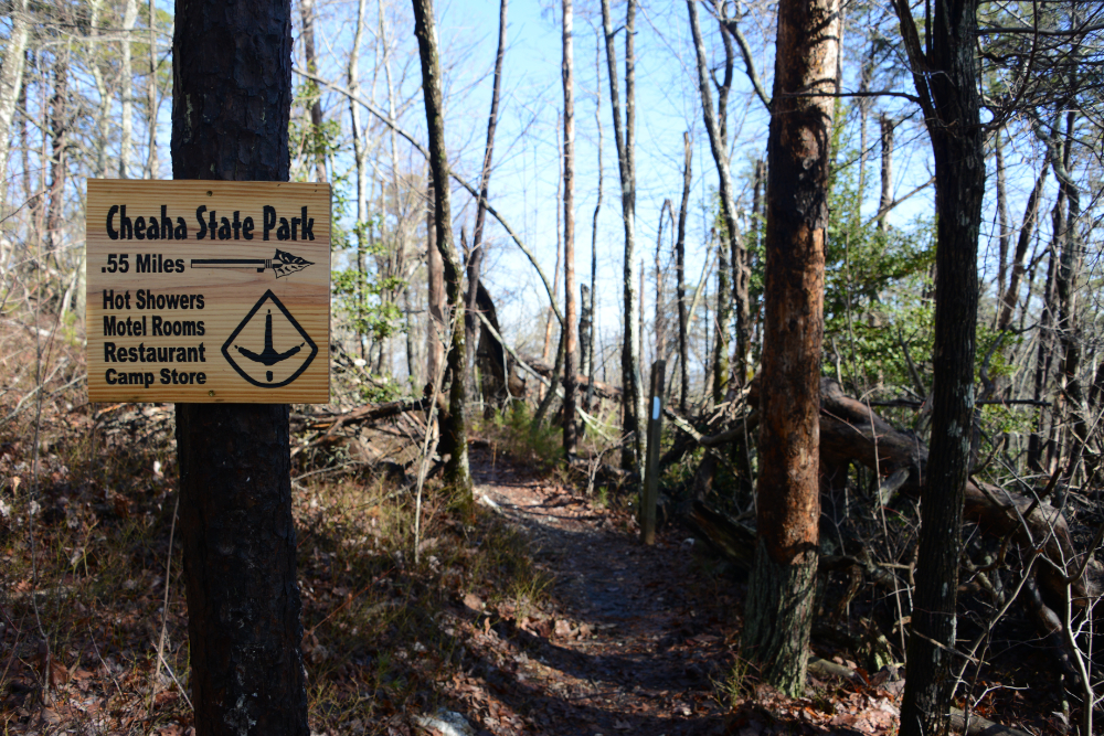
Regarding the hike itself, it’s possible to drive almost straight to the summit, but I at least wanted to add some trail so I could feel like I earned my way to the top of Cheaha Mountain. As you can see above, the trail runs right beside the road, and the sign below indicates that it’s only half a mile to the summit—even giving the distance down to the hundredth of a mile!
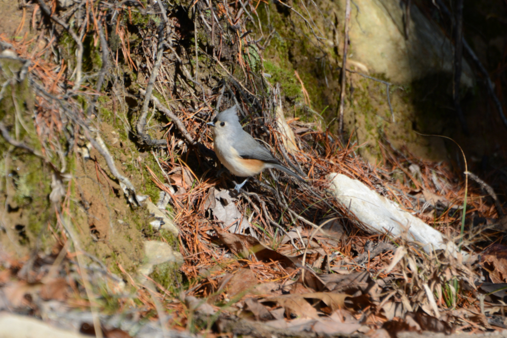
Well, I have to hand it to Cheaha Mountain for being surprisingly dense with wildlife. Despite the fact that the trail was ridiculously short and that I was visiting in winter, I saw quite a bit along the way. The bird above is a tufted titmouse, while below is an eastern bluebird. I don’t ever recall seeing an eastern bluebird back home in Virginia, so spotting one here stood out to me.
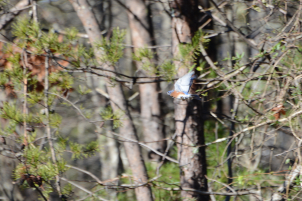
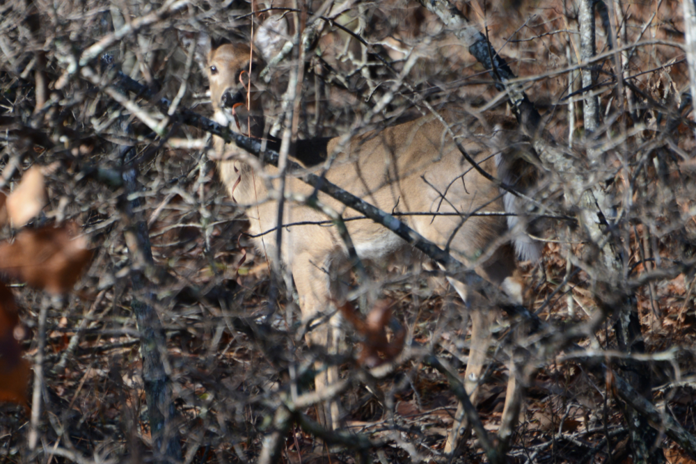
This is likely one of the worst photos I’ve ever taken of a deer. Considering how little time I had before he took off, along with all the branches in the way, I did my best. The deer was another unexpected sight on my short hike, which probably took me less than 30 minutes altogether. I actually ended up following him into the woods trying to get a better photo and eventually found myself in someone’s backyard. Cheaha is definitely not a remote peak.
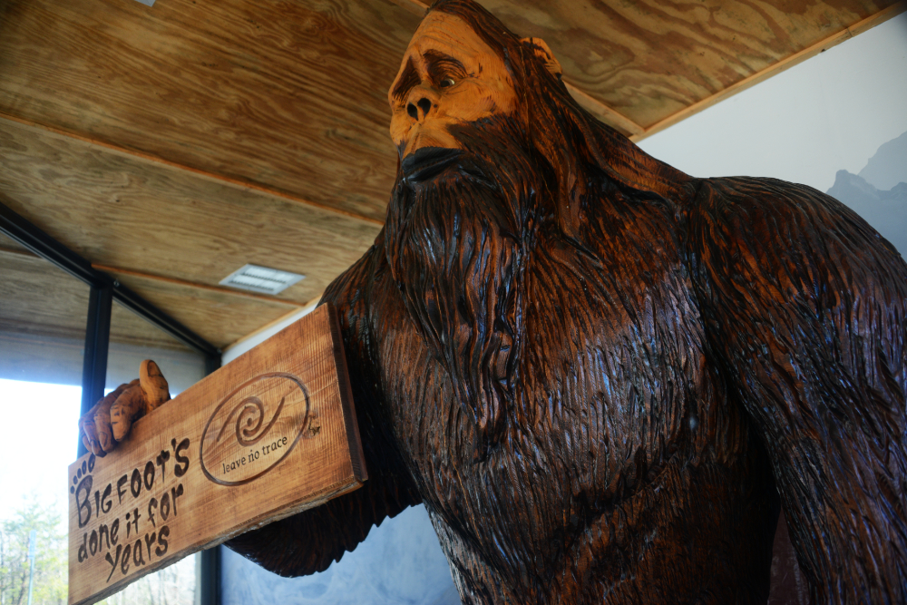
Another unexpected encounter was Bigfoot. Alabama is clearly proud of its state high point, with a gazebo containing information about the mountain and even an observation tower at the summit. Bigfoot was here to warn everyone about littering and remind visitors to leave no trace, while the sign below provided some information about Cheaha Mountain itself.
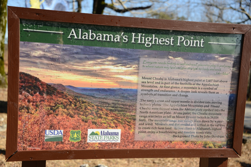
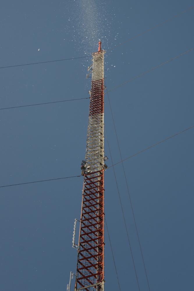
I’ve had a minor goal of reaching all 50 state high points with snow or ice present somewhere on the mountain or route. Obviously, the Southeast would be by far the biggest challenge. I had little hope of finding either on Cheaha Mountain, but to my surprise the observation tower at the summit was covered in ice.
Strong winds were violently shattering the ice off the tower, and occasionally some dangerously large chunks would come crashing to the ground. Right next to the tower is the true summit, where I took the photo below while holding up one of the pieces of ice.
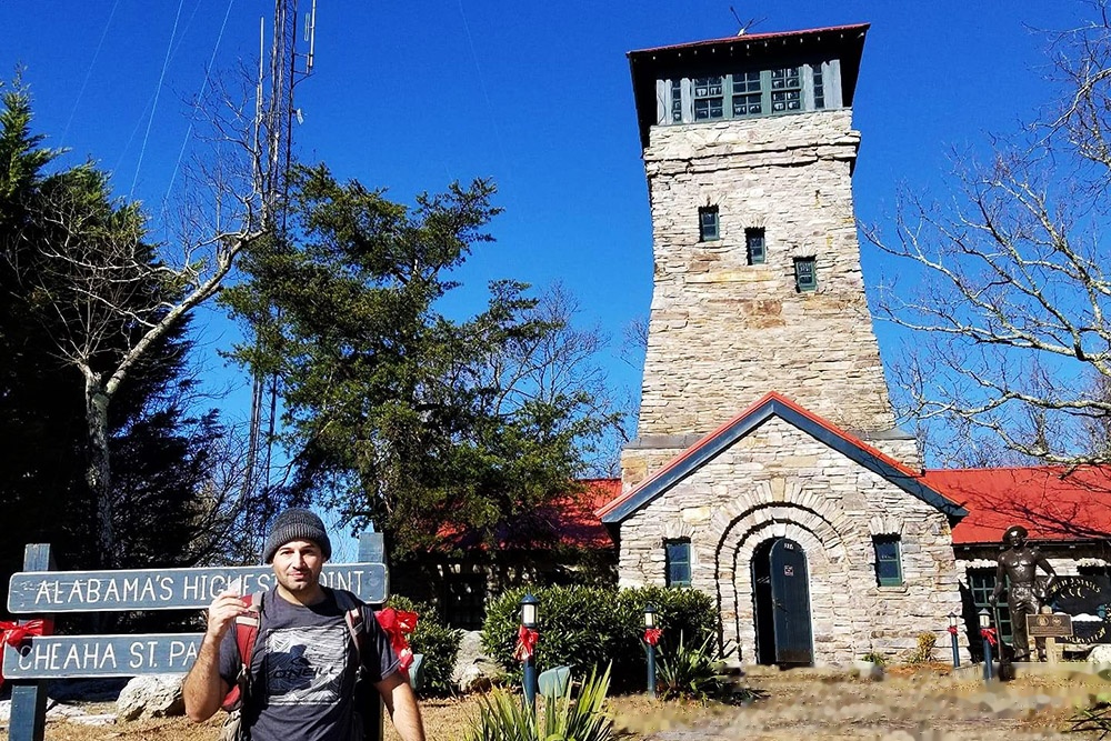
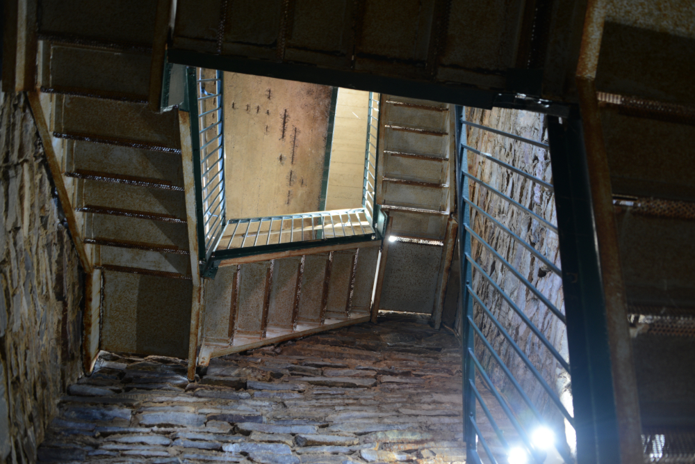
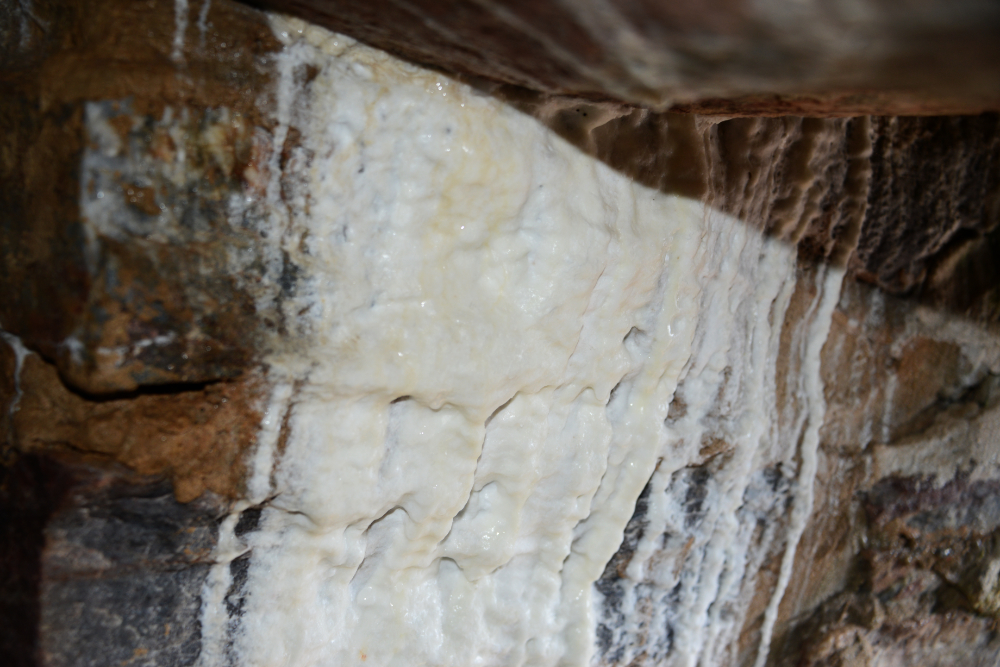
Of course the observation tower isn’t included in Cheaha Mountain’s total elevation, but regardless I still felt I had to climb to the top for this to count. There were only about two flights of stairs leading up. The inside was surprisingly humid, and as I climbed higher it even looked like some of the runoff was depositing minerals. The photo below shows some white buildup that made me wonder how much more could accumulate there over time.
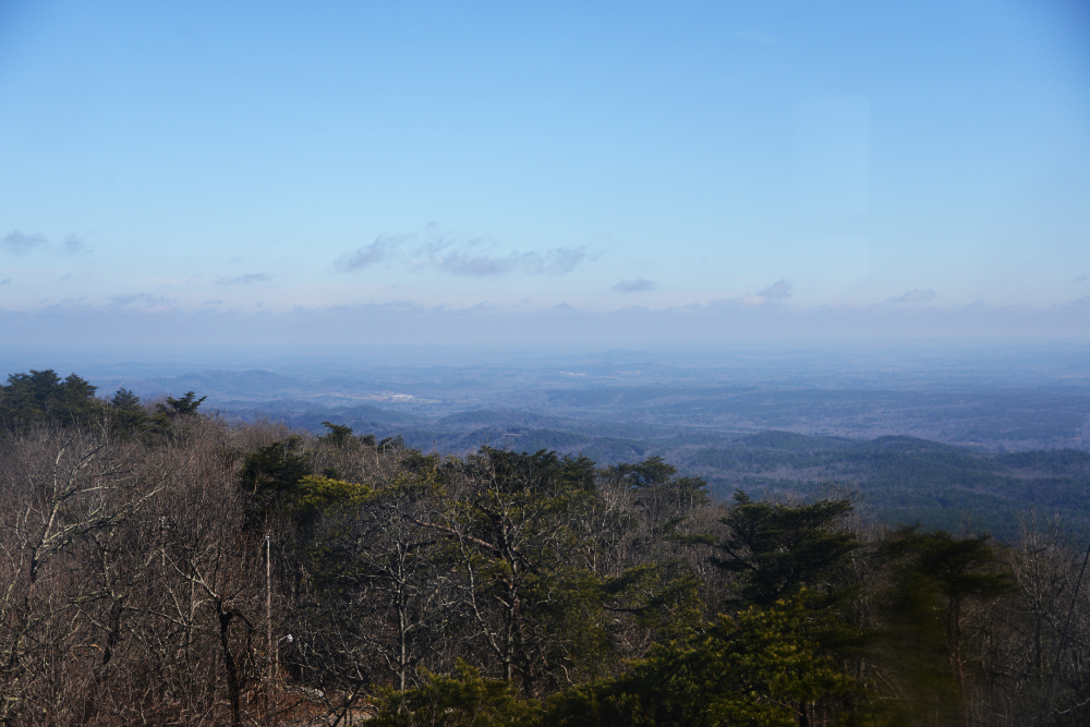
Lastly, here is the view from Cheaha Mountain, the top of Alabama at 2,407 feet (733 meters)! This marked my second southeastern state high point after reaching the top of Georgia a year earlier.
Explore More of Alabama
Cheaha Mountain • Birmingham • Cathedral Caverns • Gulf Shores • Mobile • Montgomery