Acclimatizing at Confluencia
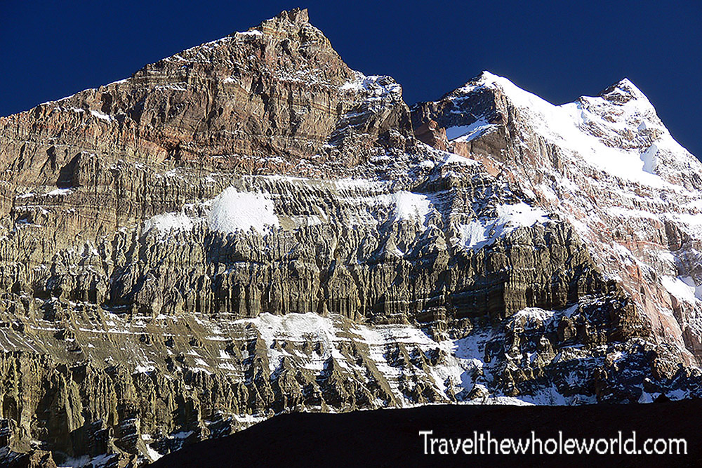
Acclimatizing Above Camp Confluencia
After reaching Camp Confluencia, it was important for us to rest and acclimatize before moving higher toward base camp. On our second day we went on another enjoyable hike, this time climbing above 13,000 feet (4,000 meters) to help our bodies adjust to the altitude. Above is a large mountain where an Inca mummy had been discovered.
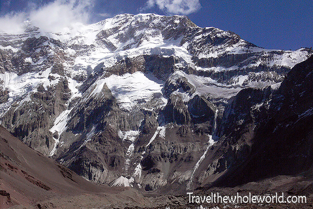
Aconcagua’s South Face
Our acclimatization hike also gave us an incredible view of Aconcagua’s South Face. This is by far the most difficult, dangerous, and technically challenging side of the mountain. We certainly weren’t planning on climbing this route, but seeing the dramatic face of the mountain up close was breathtaking.
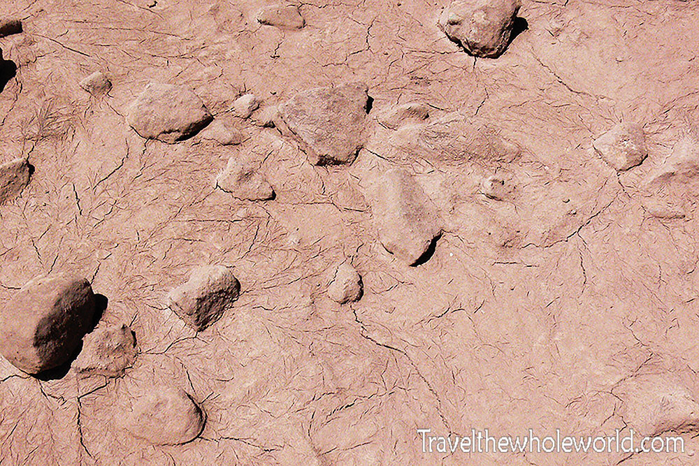
The Less Glamorous Side of Aconcagua
Of course, not every part of the scenery was spectacular. Some stretches were basically mud and giant mounds of dirt. Some of it was beautiful in its own way, while other areas seriously looked as if earth-moving equipment had dug everything up rather than nature creating it.
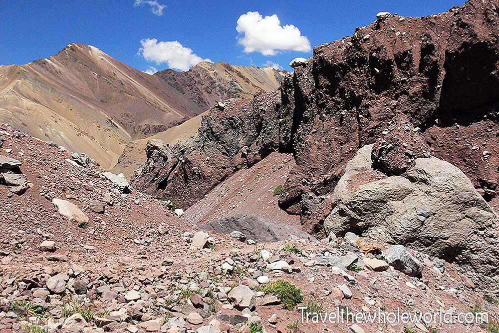
Dirt-Covered Mountains Near Confluencia
The Trek to Base Camp
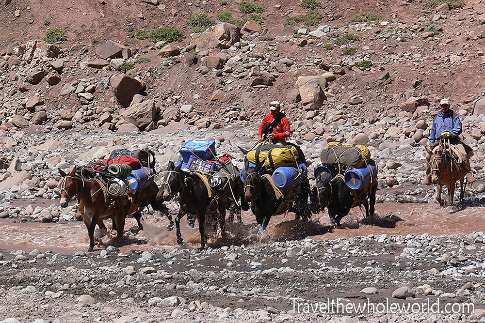
Pack Mules on the Way to Base Camp
After two nights at Confluencia, it was finally time to move on to base camp. The trek took roughly eight hours. With the exception of the final hour, most of the terrain was surprisingly flat.
Along the way I spotted several mules carrying supplies across the rivers. We had paid to have mules carry our heavy climbing gear from the park entrance all the way to base camp, saving us three days of hauling enormous backpacks ourselves. That was an easy decision!
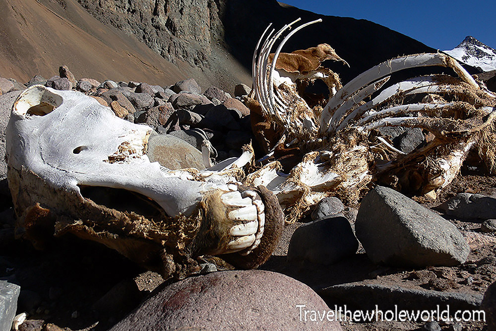
A Fallen Mule Along the Trail
Unfortunately, not every mule made it. Above was one of their fallen comrades along the trail.
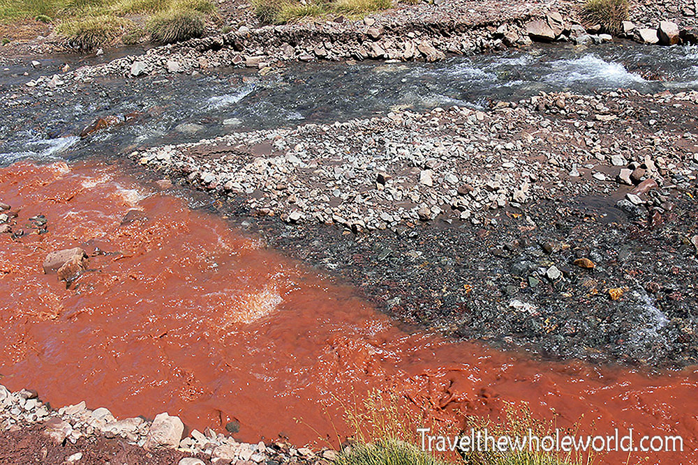
Mountain Streams Along the Trail
We spent much of the day hiking between high mountains while following streams through the valley. Every so often we had to cross one, and when the water is high these can become an annoying obstacle. Fortunately, the streams were low enough for us to jump across.
Much of our drinking water came directly from these mountain streams. Most were remarkably clear, although every now and then another stream would enter carrying muddy water like the one above.
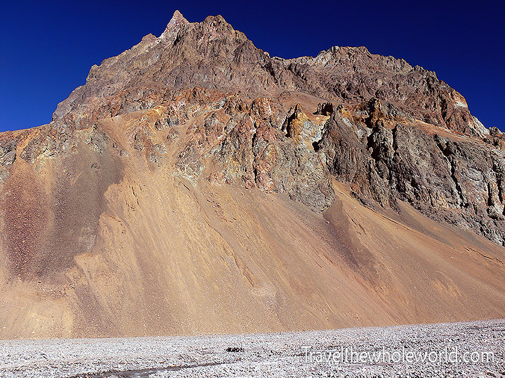
El Dedo — “The Finger”
After about four hours we stopped for lunch at El Dedo, meaning “The Finger” in Spanish. It marked roughly the halfway point between Camp Confluencia and base camp, which made it the perfect place to stop, eat, and rest before continuing.
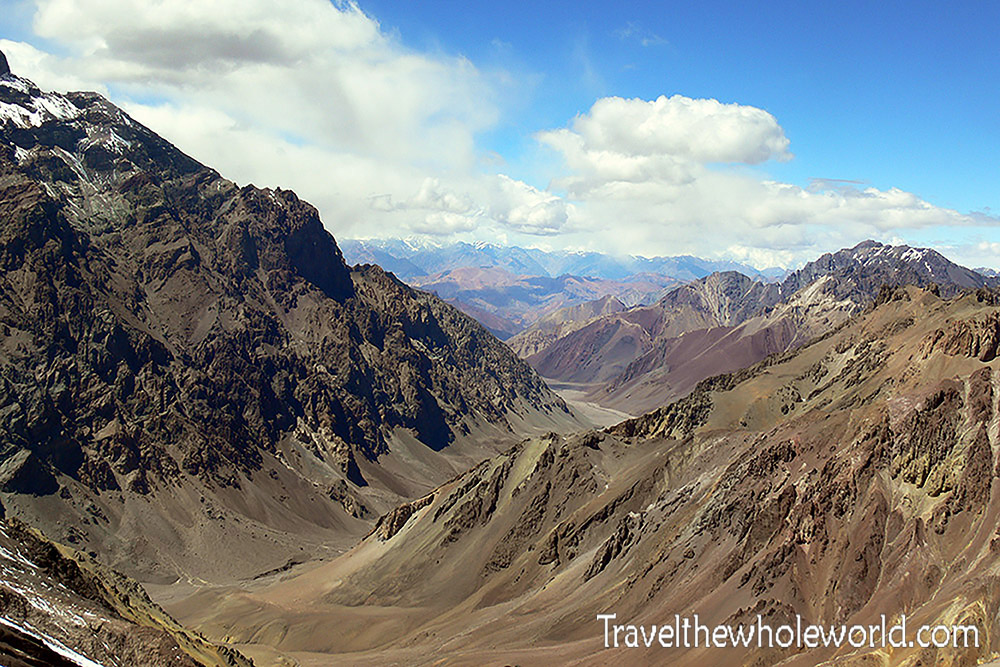
Horcones Valley on February 18
The remaining four hours were similar to the first four until we reached the final ascent into base camp. Suddenly the easy terrain disappeared and we had to climb an extremely steep hill before finally reaching Plaza de Mulas at roughly 14,000 feet (4,300 meters).
To put that altitude into perspective, we were now about as high as the tallest peaks in the continental United States and roughly half a vertical mile higher than Mt. Fuji. The weather was still pretty warm, but we weren’t fully adjusted to the altitude, and combining the thin air with the sudden steep terrain made this hill our biggest challenge so far.
One of the climbers on our trip claimed that this hill alone had seriously been harder than Kilimanjaro. Myself and the others who had climbed Kilimanjaro thought that was an insane comparison!
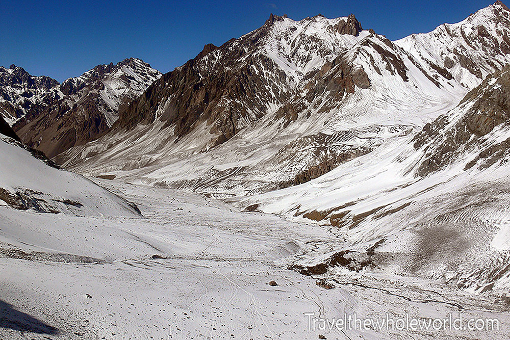
Horcones Valley on March 1
These two views of the Horcones Valley were taken at very different points in the expedition. The first was taken as we approached base camp on February 18, while this one was taken as I began hiking out of Aconcagua on March 1. For now, though, we had reached base camp and would spend several days here giving our bodies time to catch up with the thin air.
Plaza de Mulas
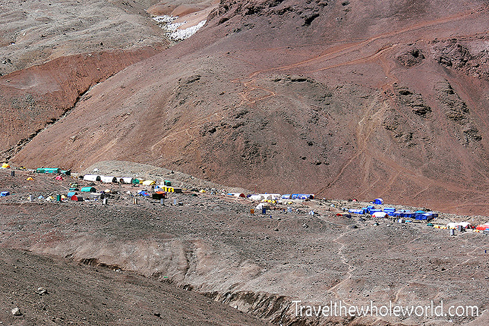
Plaza de Mulas Base Camp
After arriving at Plaza de Mulas, we took a rest day and then went straight back to acclimatization hikes. One took us above 16,000 feet (5,000 meters), where we had a great view looking down over base camp. We were among the final expeditions of the climbing season, so camp was already much quieter than it would have been during the busiest weeks.
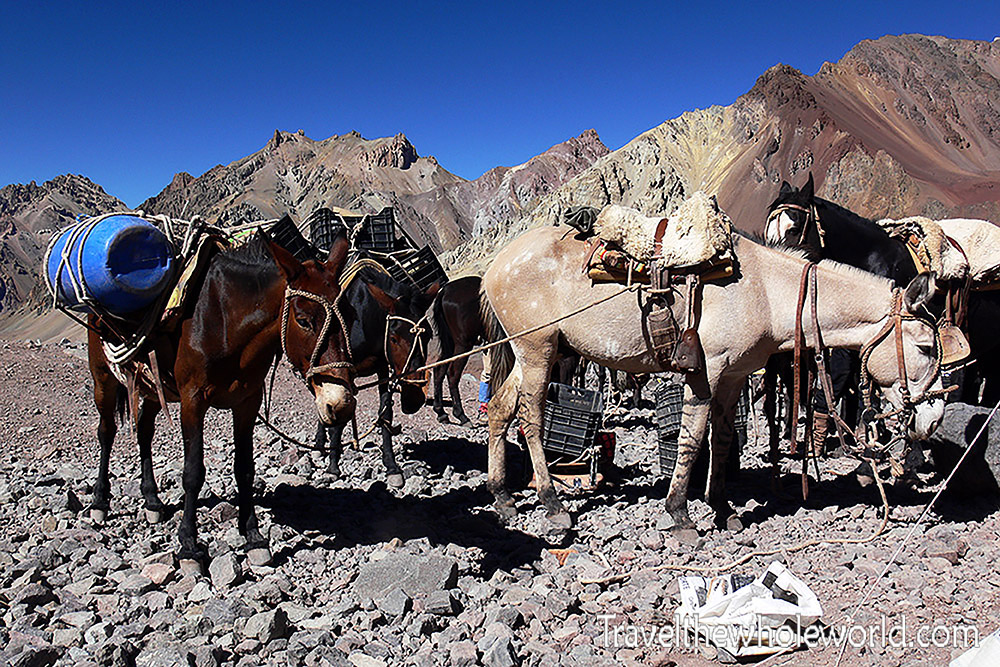
Mules Arriving at Plaza de Mulas
Plaza de Mulas means “Plaza of Mules,” and the name makes sense. The mules are the lifeline for getting supplies this far into the mountains. Above is a pack arriving at base camp with another load of gear. I was told the mules worked one day and then received two mandatory days off. Their lives might not have been so bad after all!
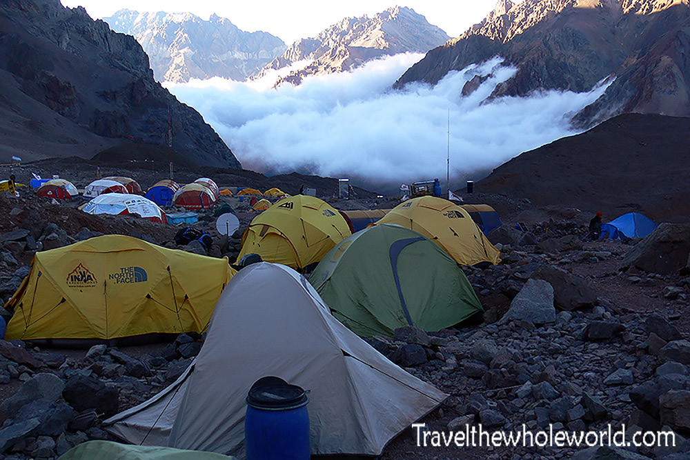
Clouds Rolling Into Base Camp
Once we were settled into base camp, we did our best to relax and continue acclimatizing. Each of us had our own tent, which does a lot for morale after spending so much time on an expedition. The green tent in the center was mine. In the background you can see clouds beginning to roll into camp, a reminder of how quickly conditions could change up here.
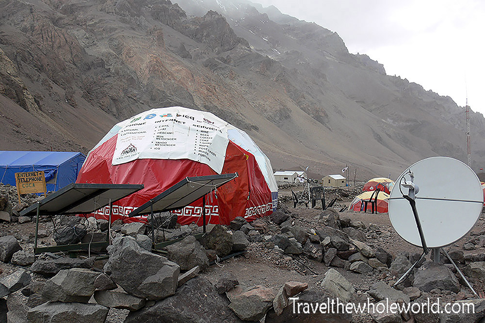
Internet at 14,000 Feet
Internet was something I definitely didn’t expect to find at 14,000 feet. It was extremely expensive, and I didn’t use it myself, but for climbers who wanted to communicate with the rest of the world it was available. After days in the mountains, plenty of people were happy just to talk with their families and friends back home.
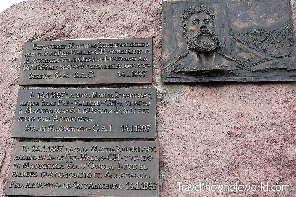
Memorial to Matthias Zurbriggen
Some of our local hikes brought us to this memorial just outside base camp. It was dedicated to Matthias Zurbriggen, the first known climber to reach Aconcagua’s summit, in 1897. Accomplishing that more than a century ago, without modern equipment or the amount of information available to climbers today, makes the achievement even more impressive.
I remember reading Mary Shelley’s Frankenstein, written decades before that climb, where a character imagines going to South America and reaching the summit of the Andes. Standing here made me think about how recently in history these enormous mountains were still completely unknown to climbers.
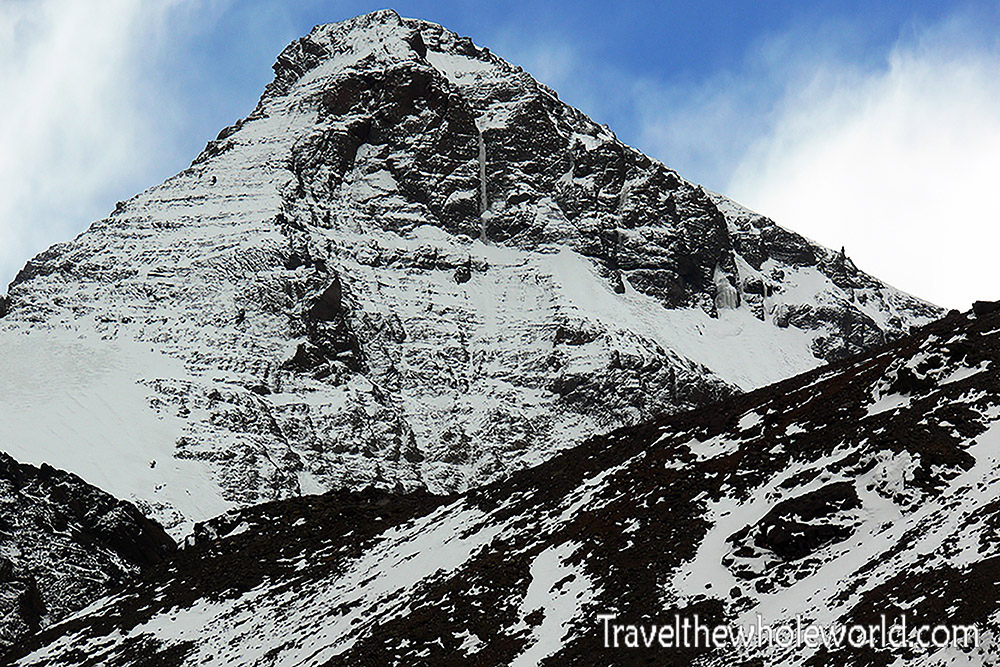
Mountains Surrounding Plaza de Mulas
Aconcagua obviously dominates the landscape, but it isn’t the only formidable mountain surrounding Plaza de Mulas. Huge peaks rise in nearly every direction, including the mountain above, which appeared to reach well over 16,000 feet (5,000 meters).
Acclimatizing at Base Camp
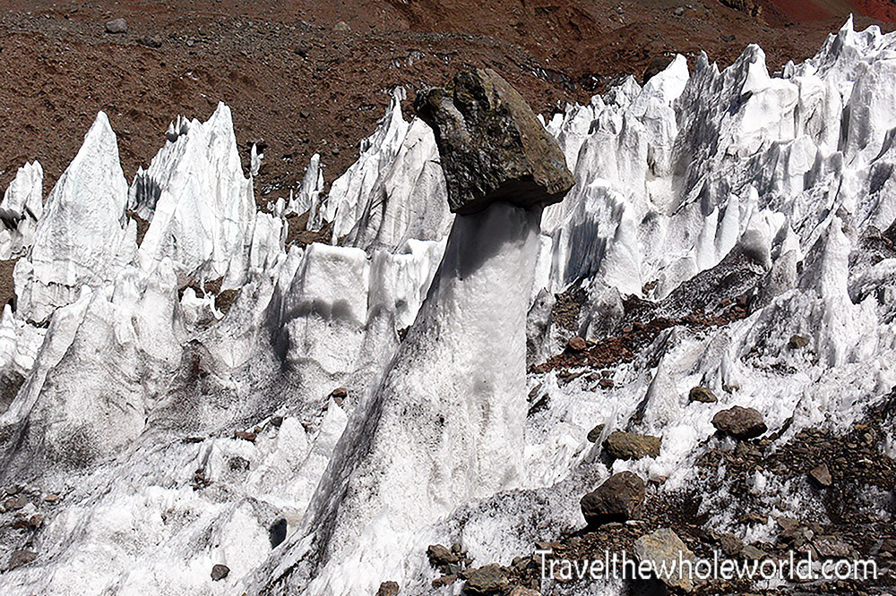
Penitentes Near Aconcagua Base Camp
Once we reached base camp, we began checking the oxygen saturation in our blood every day. After only two days at camp, one of our fellow climbers hadn’t acclimatized properly. His oxygen saturation had fallen to around 60 percent, and his lungs had begun filling with fluid. His condition was life-threatening, and he had to be evacuated from the mountain by helicopter.
For the rest of us there wasn’t much we could do except continue acclimatizing, pay attention to how our bodies were responding, and hope the same thing didn’t happen to us.
Some of our acclimatization hikes took us through fields of strange ice formations called penitentes. The ski resort we had stayed at earlier was named after this phenomenon. Some of the spikes were roughly the height of a person and looked almost otherworldly.
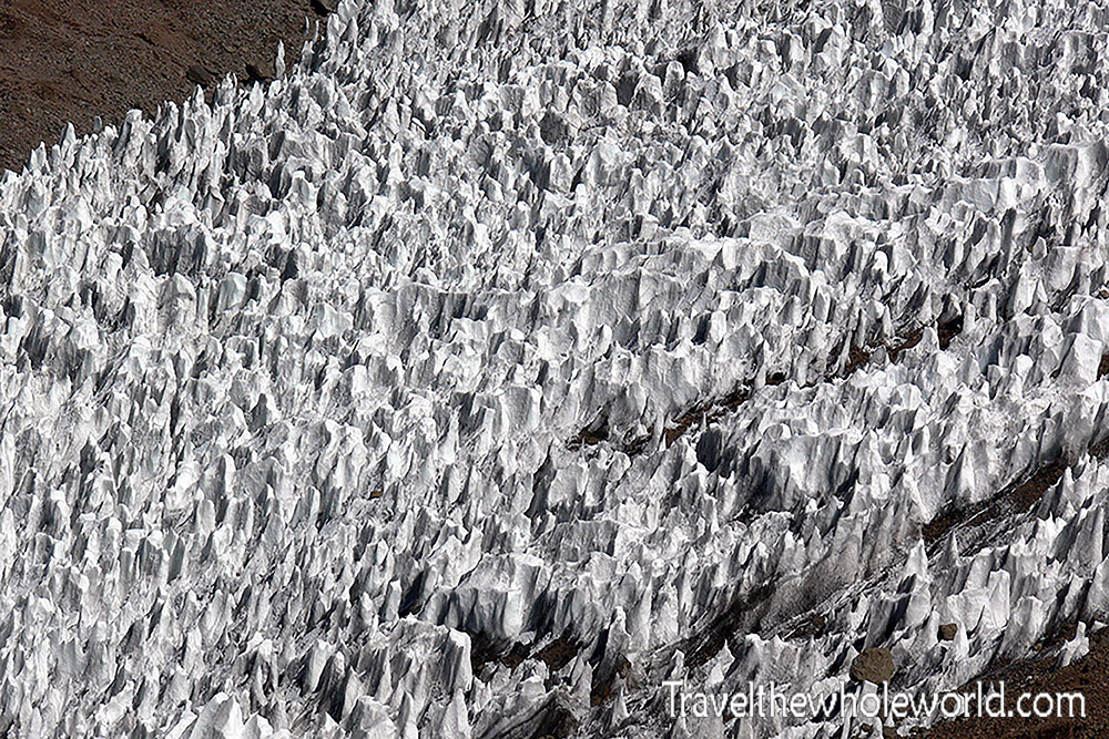
A Field of Penitentes
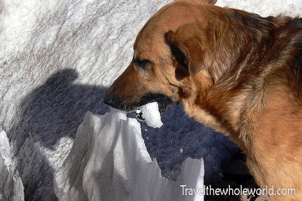
Another Dog Joins the Expedition
On one of our hikes out toward the penitentes, we even had another dog join us. Apparently dogs in the Andes really liked following our expeditions.
About twenty minutes from base camp there was also a small hotel. It was pretty primitive, without running water and with what I assume was generator power, but after spending days living in a tent it provided a way to cheat for a little while and feel like you were no longer on an expedition!
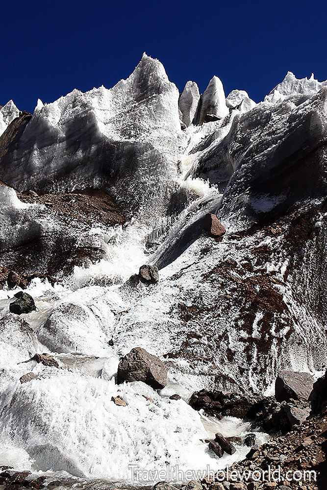
Mountain Stream Near Plaza de Mulas
Since we had arrived at the very end of the climbing season, the hotel was scheduled to close only a few days after we reached base camp. We didn’t have much time to enjoy it, but we went as often as we could. The scenery along the walk wasn’t bad either.
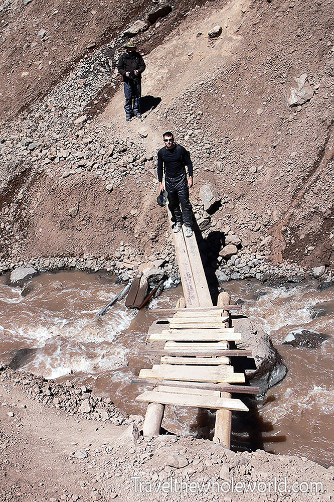
Crossing the River Between the Hotel and Base Camp
Above is me crossing one of the small rivers between the hotel and base camp.
The Weather Turns
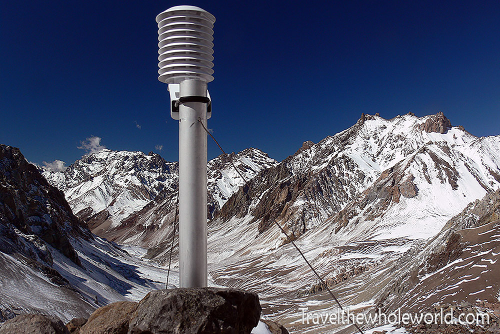
A Mysterious Device Near Base Camp
One last thing we came across during our hikes was this device sticking out of the ground. We weren’t certain what it was for, but my climbing partner and I assumed it was some type of weather instrument. Whatever it was, the timing was appropriate, because our stretch of nice, sunny weather was about to end.
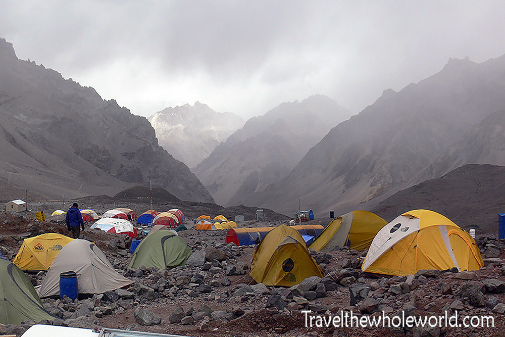
A Storm Approaches Plaza de Mulas
For most of our stay, base camp hadn’t been terribly cold. It was still summer in Argentina, and during the day the temperatures could be surprisingly comfortable even at this altitude. But we were climbing late in the season, and by late February things began to change.
After almost a week at base camp, the temperature dropped and a massive snowstorm moved over the mountain. Above you can see the weather rolling in the day before the storm.
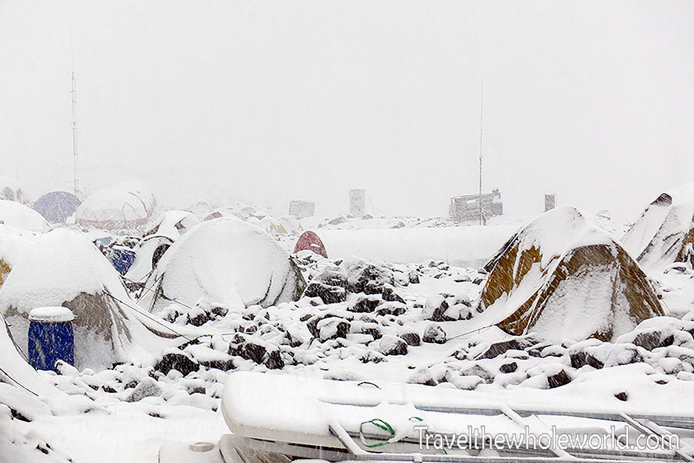
Plaza de Mulas Buried in Snow
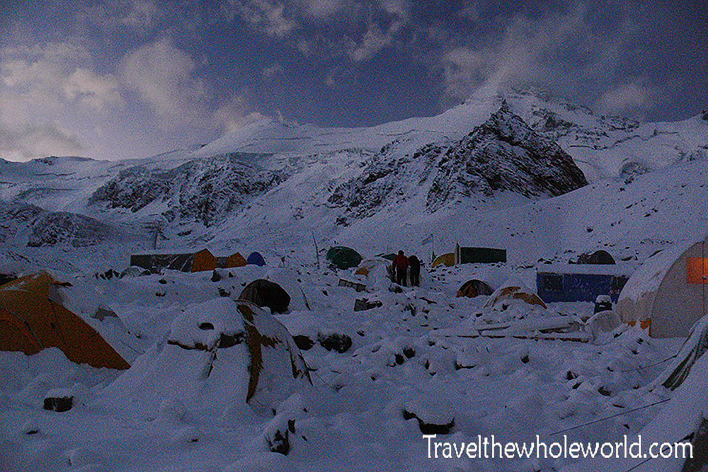
Base Camp After the Storm
The snowstorm finally ended that evening. Despite the extra challenge of the cold and having everything buried in snow, it was actually pretty beautiful once the sky cleared and we could see the mountains again.
On our final day at base camp we had one more chance to visit the hotel before it shut down for the season. The sun did a surprisingly good job melting the snow the next day, but there had been so much of it that plenty remained.
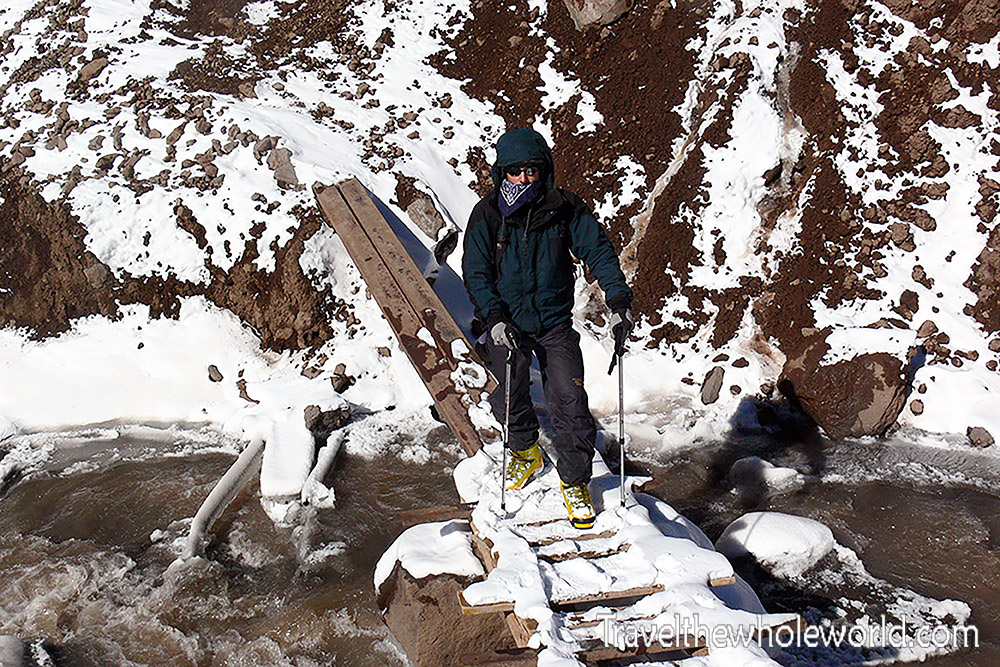
Leaving the Hotel for the Last Time
Above is me leaving the hotel for the last time. Our days of acclimatizing at Plaza de Mulas were finally over. From here there was nowhere left to go but up.
Explore More of Aconcagua
Hike to Base Camp • Hike to Camp Confluencia • How to Climb Aconcagua • Summiting Cerro Aconcagua