Climbing Boundary Peak
Boundary Peak is the highest mountain and point in Nevada, rising to 13,146 feet (4,006 meters). I find it incredible that there is debate on what is the high point of Nevada. Some say the true state high point is Wheeler Peak, although everyone agrees it isn’t as high as Boundary. You’d think that would settle it, but the controversy comes from Wheeler Peak being completely within Nevada’s borders, where as Boundary Peak is close to the California border. Also there is some argument because of its relatively short distance to the nearly equal in height although slightly taller Montgomery peak in California. For this reason Boundary is sometimes described as a short bump in the route for anyone proceeding to climb Montgomery Peak.
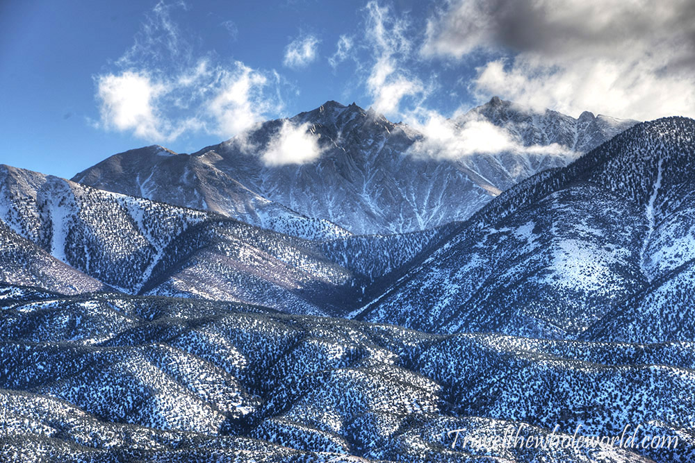
I find this all very strange since being entirely in the state or country has always been irrelevant. No one says that Mt. Everest is not the highest mountain of Nepal because its on the border of Tibet. If this suddenly became the new rule we’d have to question a number of major mountains around the world, ranging from Mt. Blanc to Mt. Everest to K2. And with Boundary Peak being described as an insignificant bump in the route I seriously came to believe that it was the “bump” just below the far left cloud above. That would be a disappointingly looking summit I’d admit, but that still wouldn’t change the fact its the highest peak in the state. Luckily though, I found that Boundary Peak is dead center of my photo above, and you can barely see Montgomery’s summit to the right just below the clouds coming in. So hopefully by now you get my point because I could ramble on about this forever. I just can’t believe anyone would look at Boundary Peak in the center of this photo and say that’s not a mountain…
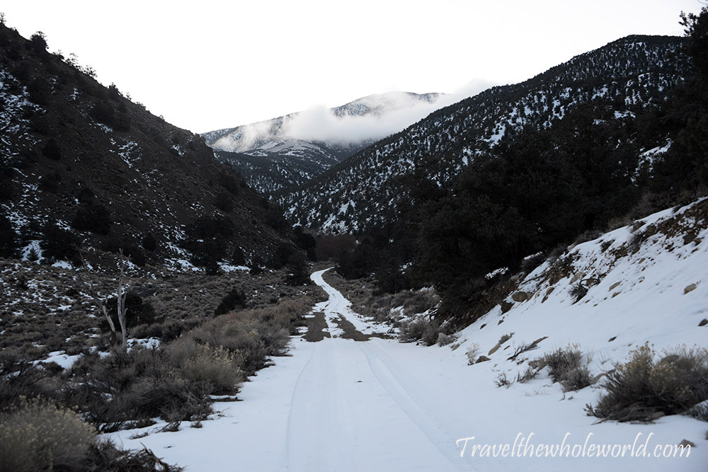
So despite all my rambling let me let you know right now I didn’t summit! Not only that, I didn’t even make it to the damn trail. As it turns out, the hike up Boundary peak usually begins around 10,000 feet (3,000 meters). The locals outside of the mountain had no idea that snow was even in the mountains, much less how low it was when I arrived. And by locals I mean the towns about 30 minutes away, not Las Vegas of course! These photo above was taken around 7,000 feet (2,000 meters), and was as far as my rental car could go.
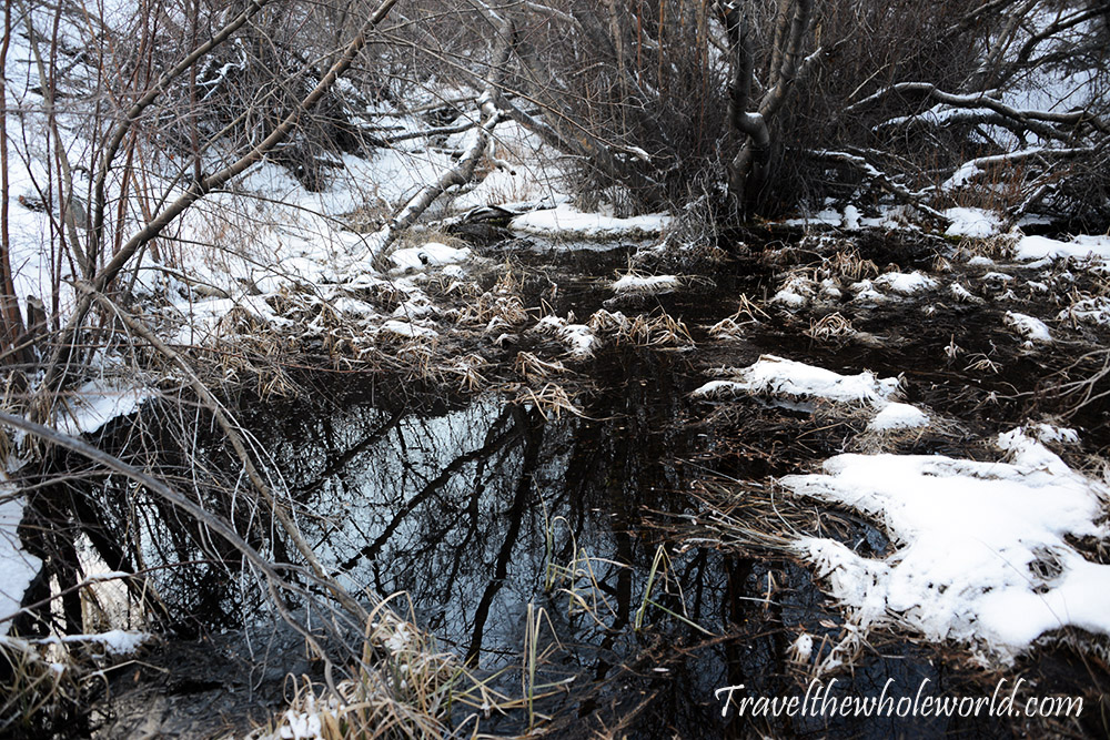
So ideally you’d start this hike around 8am at 10,000 feet, or to be exact 9,600 (2,925 meters). Since I was 3,000 feet or 1,000 meters below that at 7:30am, I had few choices. Option one was to not even try and go home, option two was to walk up the road which would take hours because it went way out of the way before curving back to the starting point, and of course option three was to make my own direct route. Option two and three both had major pros and cons, but I decided to make my own route off trail. To my surprise one of the first things I came across was this pond which somehow wasn’t frozen!
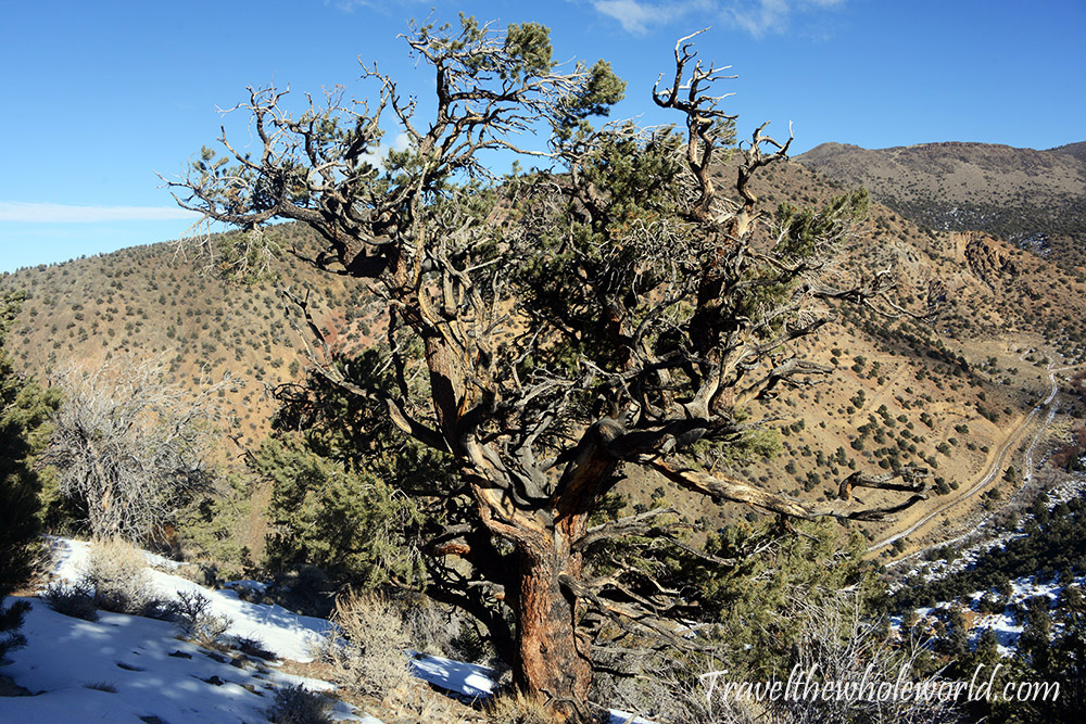
I had with me a topographical map that looked like I’d come across some very steep terrain initially. After gaining a ridge, it looked like I could make a straight shot directly to the summit. I’d still have to gain the additional 3,000 feet (1,000 meters) no matter what, but this way I’d definitely shave off up to 5 miles (3 kilometers) if I avoided the road. The initial climb was steep, and believe it or not I used my ice ax at only 7,000 feet! Once I got to the ridge I took this photo above. The road behind the tree is how you normally get to the starting point of the trailhead. In this view, you can kind of see how far out of the way its going and why the ridge seemed smarter.
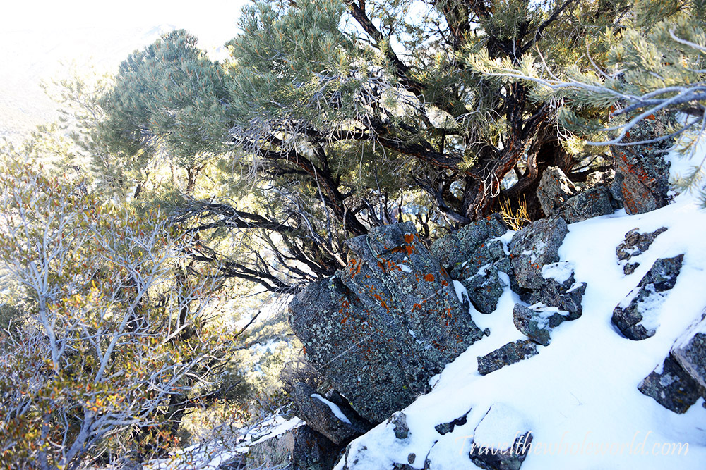
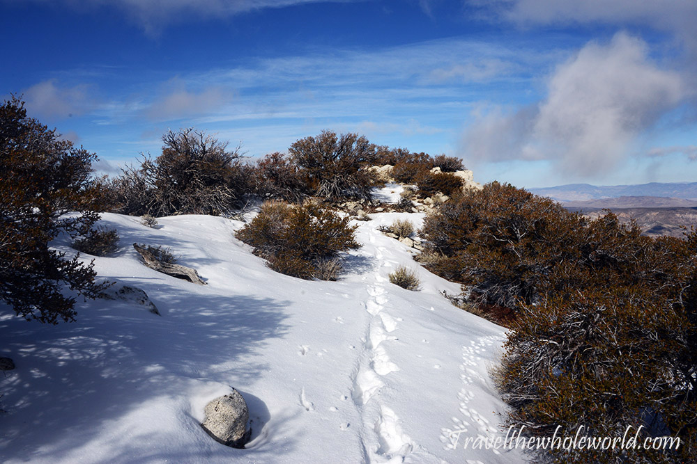
After that steep gully to the ridge, things were pretty easy. I took this photo above of a colorful rock I came across, and this shot below which shows the ridge behind me. I was aware that going off trail, alone in the winter was a risky decision, especially since I had no idea what I might encounter up here. So far it was a solid win, since none of the terrain was difficult and it was impossible to get lost on the ridge.
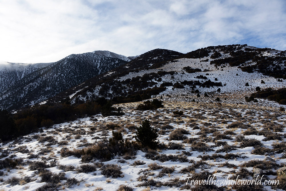
There was lots of snow on the route, but it was so fine and powdery it provided almost no resistance. I didn’t really have to break trail at this point, and figured this must be that famous west coast powder I always hear about! The photo below shows the next ridge I had to gain that would put me over 9,500 feet. Although I wasn’t on the actual trail yet, by reaching this altitude I was effectively at the same starting point, only much closer to the summit mileage wise.
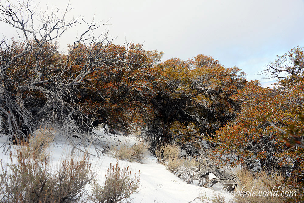
I wish I took more photos to document this climb better, but until I return this will have to do. So what my catalyst was for turning around were these evil trees. I wrongly assumed that the higher I climbed the less vegetation I would encounter. Around 10,000 feet I found a fence of trees that made it difficult to pass. I mean the vast majority of times I could easily duck or go around them, but at least a few times I had no choice but to climb directly through them. This made my progress extremely slow, and after some cursing and realizing I was going half the speed as before, I looked down and realized I had a major tear in my pocket. Even worse, my GoPro was missing! I had lost one GoPro with manatees in Florida the first day I tried to use it. I wasn’t trying to lose a second one. My confidence was always medium at best because I essentially would have to climb double the distance, and from what I read online just the normal climb by itself can be a real challenge.
It’s always sad to have to turn around, and I was especially sad since I thought I’d never see my GoPro again. I figured my GoPro must have been lost in between the thickest trees that had ripped it out of my pocket, but to my surprise I found it laying in the snow only about 15 minutes after turning around. It was still early in the day, not even 11 am so I had plenty of time. I had a quick thought to perhaps continue, but from where I was I saw nothing but more thick trees, and even worse some bad weather rolling in. Although I had plenty of daylight and was very close to the mid section of the trail by now, I decided to go home after all and save this for another day. I still want to do this in the winter, so next time I’ll be sure to rent a four wheel drive!
