An attempt to summit Montana’s highest mountain in the Absaroka-Beartooth Wilderness quickly changed from a climbing adventure into a hiking one because of horrible weather. Despite never even touching the mountain, this turned out to be an amazing trip and a reminder of how many incredible wilderness areas there are back home in the United States.
The Absaroka-Beartooth Wilderness covers nearly 1,500 square miles (3,800 square kilometers). With hundreds of miles of trails, permanent snowfields and glaciers, high alpine plateaus, and plenty of wildlife, this is one of the best places in Montana for a true wilderness adventure. Somewhere within all of it is Granite Peak, the highest mountain in the state and the reason we were here.
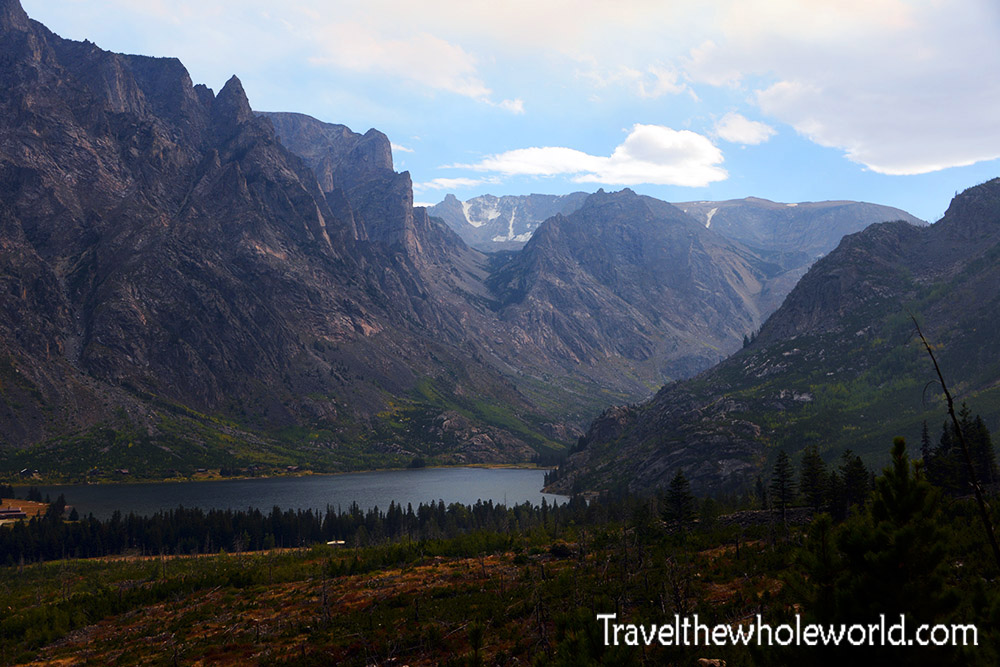
Our attempt at Granite Peak began on a relatively simple hiking trail that immediately rewarded us with beautiful views. The photo above was taken early in the morning shortly after we began hiking. At this point the weather was still good, although we already knew that wouldn’t last.
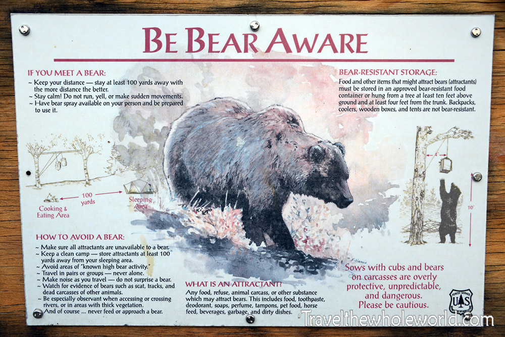
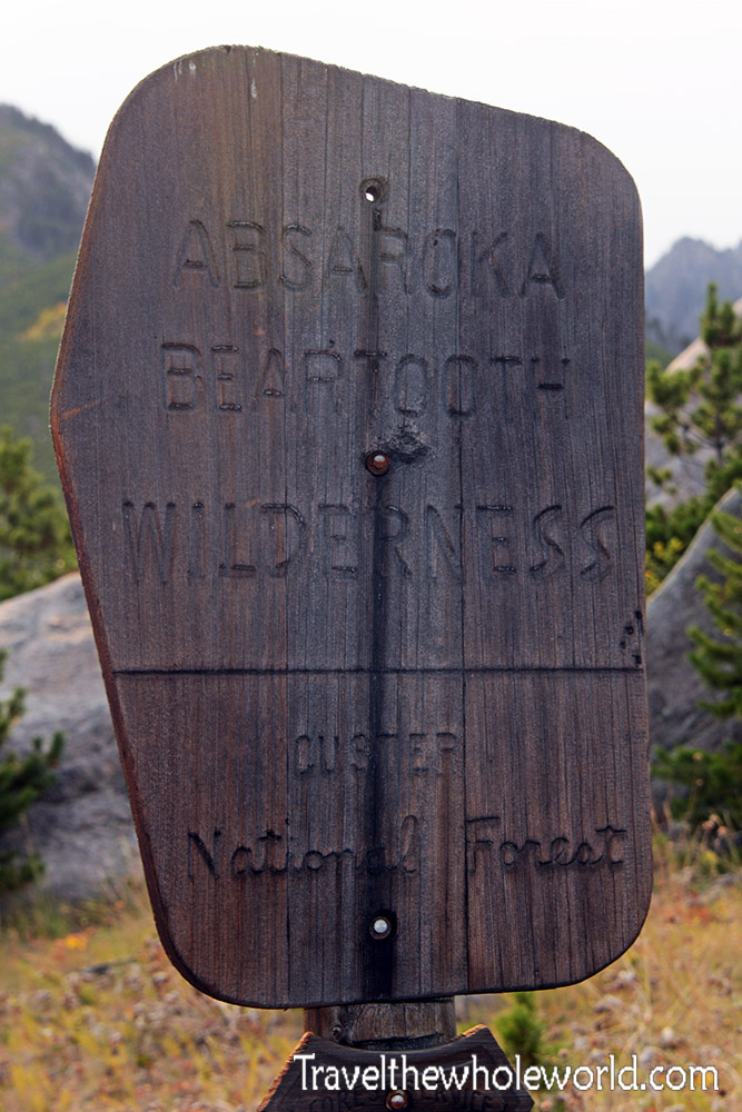
Right at the trailhead was a large warning sign about the local wildlife, particularly grizzly bears. We hadn’t brought bear spray with us, which was a huge mistake. Luckily we never had a bear encounter along the way. A few minutes beyond the trailhead we passed the official wilderness sign welcoming us into the wild.
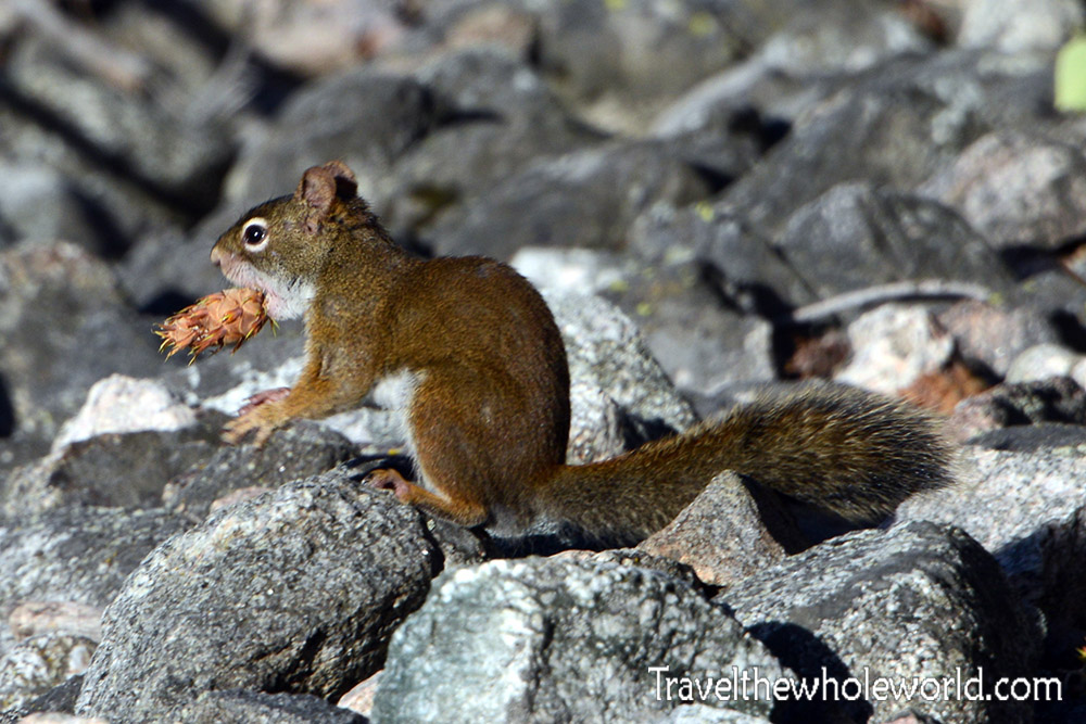
Surprisingly, we didn’t see much wildlife. I had hoped to see mountain goats higher in the mountains, but these small squirrels were seriously about the only animals we encountered other than birds. Most of them were extremely vocal and seemed annoyed that we were passing through their territory. This one was busy playing around with a fresh pine cone.
Into the Beartooth Wilderness
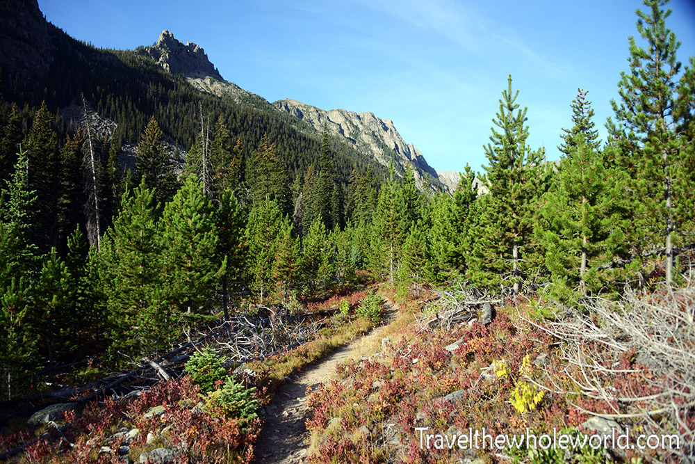
The trail almost immediately began climbing through switchbacks, although nothing was particularly steep at first. We started around 6,200 feet (1,890 meters) and quickly climbed to roughly 7,200 feet (2,200 meters). From there the trail followed the valley with much less elevation gain.
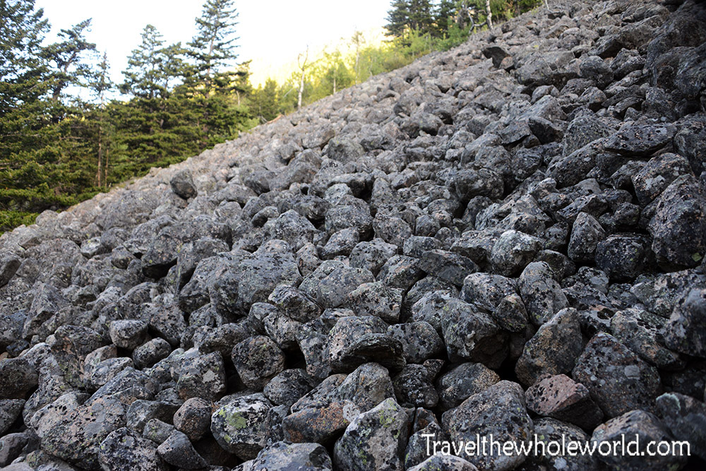
The trail went in and out of tall shrubs and forested areas before passing this massive field of broken rock. It reminded me of Devil’s Marbleyard back in Virginia, another place where enormous boulders cover the side of a mountain.
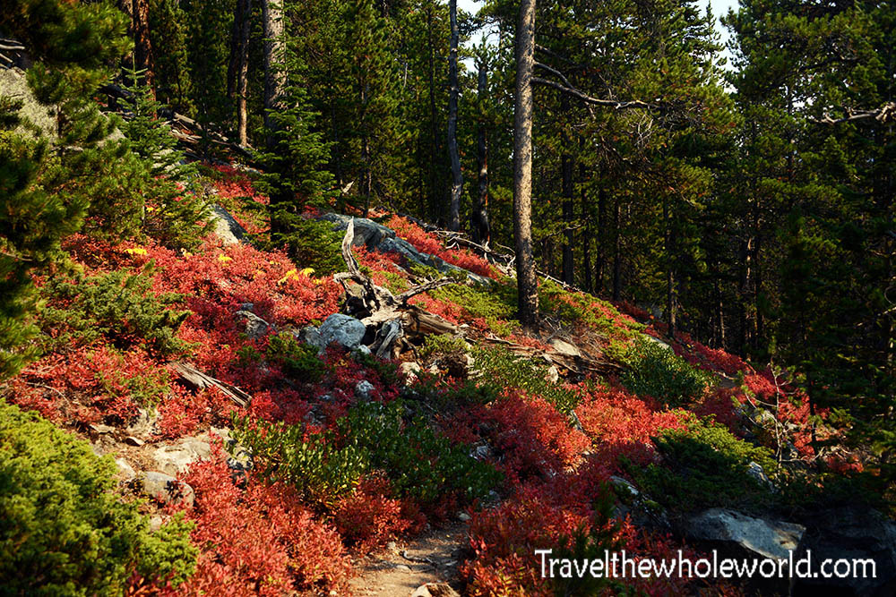
Even though it was only mid-September, some of the foliage was already beginning to change color. We knew before starting that our time in the mountains would be limited. Temperatures near the trailhead were around 60°F (15°C), while temperatures at our planned camp would fall below freezing.
The cold itself wasn’t a major problem. The real concern was a large snowstorm approaching the mountains that was forecast to dump around 15 inches (38 centimeters) of snow. Whatever we were going to do on Granite Peak, we didn’t have much time to do it.
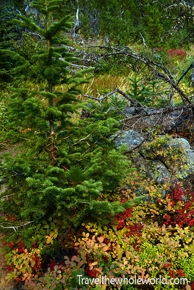
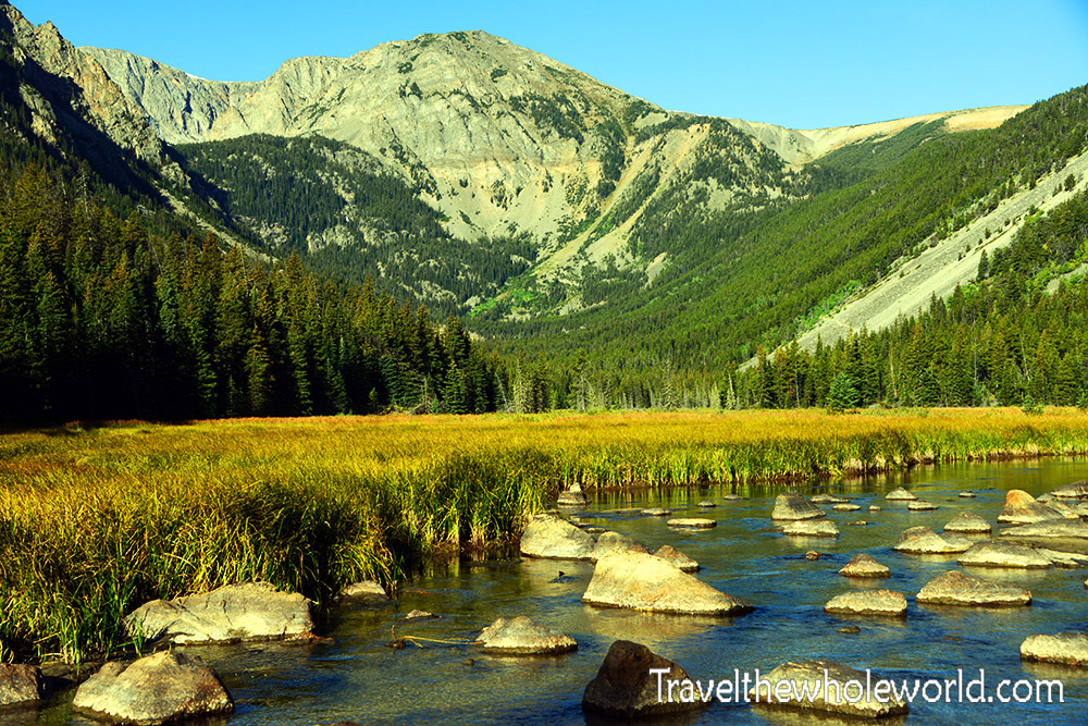
After hiking through the valley for about an hour, we came across a marshy area along Armstrong Creek. A large mountain rose behind it, creating another beautiful scene in the Absaroka-Beartooth Wilderness. We hoped a moose or bear might appear near the water, but the area was eerily quiet.
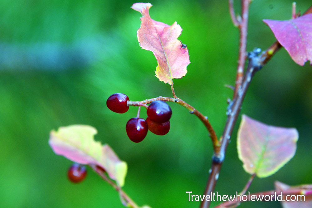
Although we didn’t see any bears, there was certainly plenty of bear food around. Berries and other plants were still growing throughout the lower elevations, so I doubted the bears had begun hibernating yet.
After reaching roughly 8,500 feet (2,600 meters), one of my friends unfortunately had to turn around because he wasn’t feeling well. None of us had gotten much sleep the night before, and the combination of altitude, exhaustion, and difficult hiking was beginning to affect him. It made much more sense for him to descend now while we were still only a few hours from the trailhead.
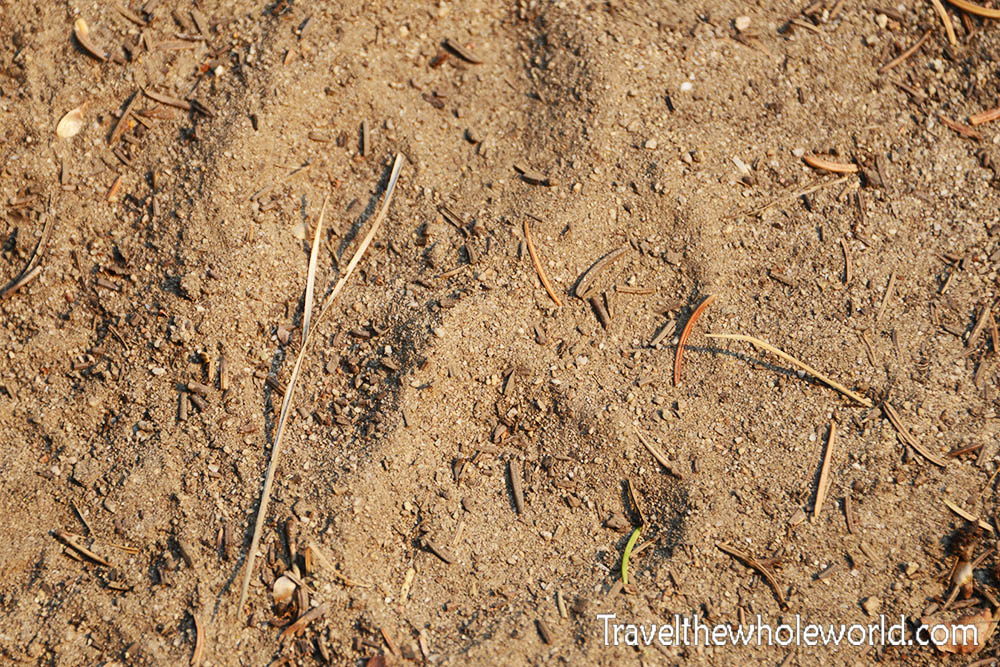
Fortunately my friend made his solo descent without running into a bear. My other friend and I continued upward and eventually came across this large paw print in the trail. Later we found a wildlife guide in Yellowstone and compared the tracks. Based on its size and shape, it appeared to have come from a mountain lion.
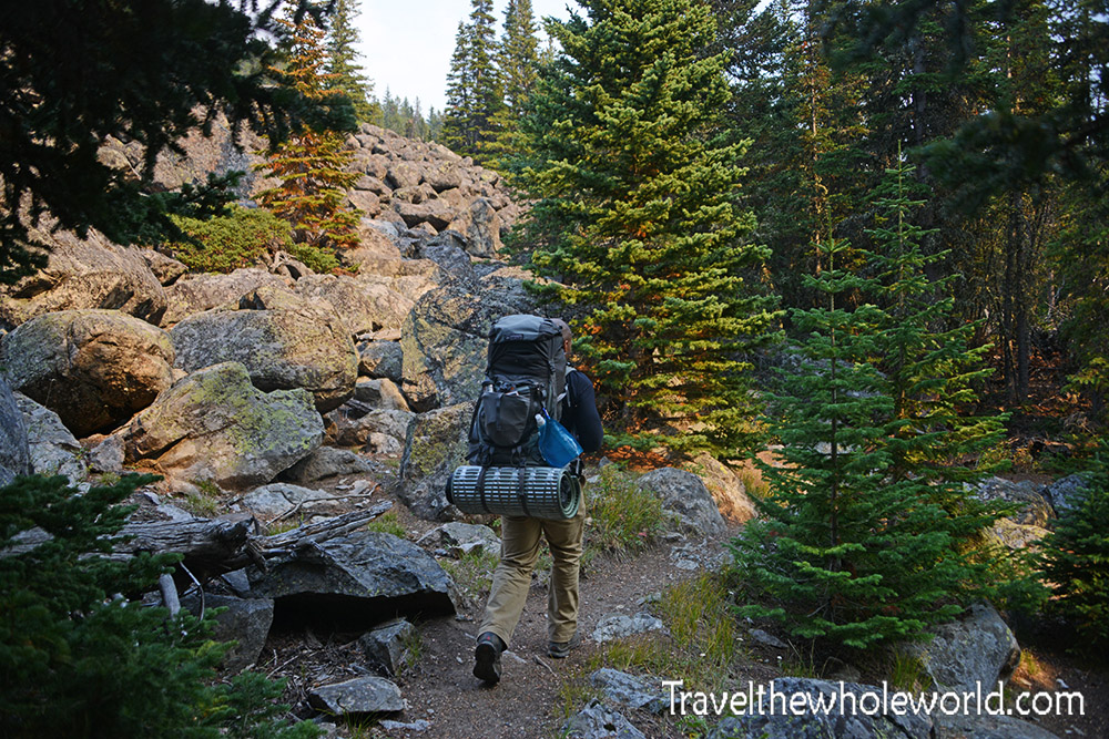
Switchbacks from Hell
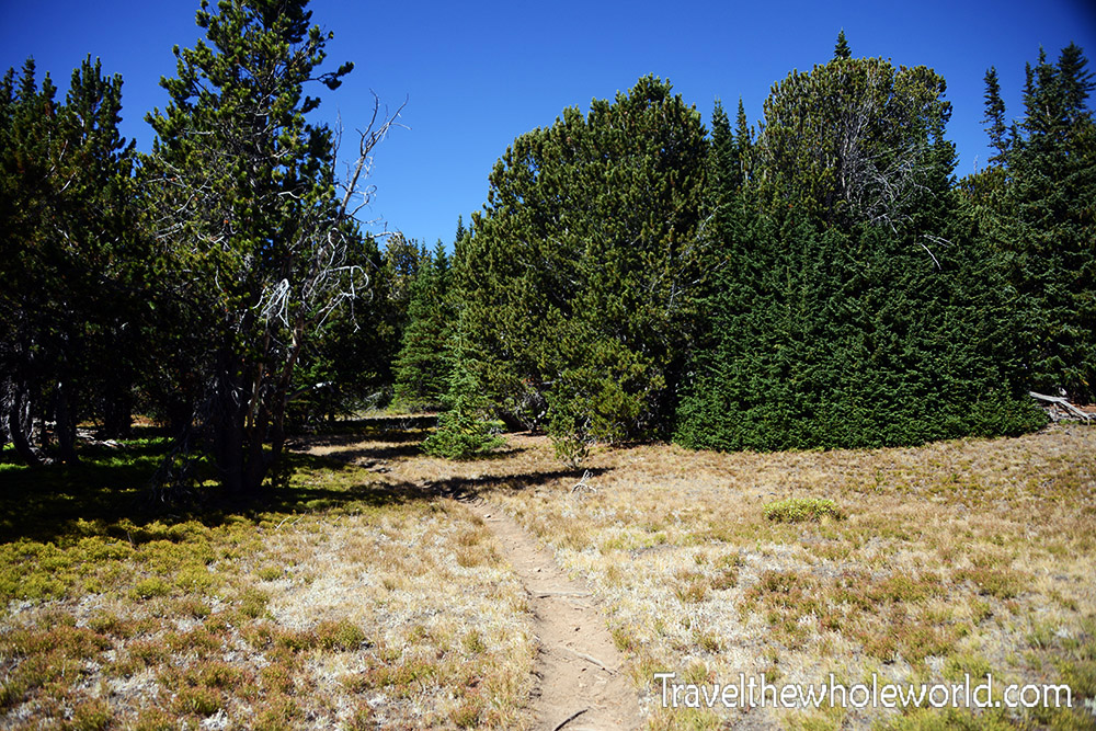
Before my friend turned around, we had encouraged him to try to finish the infamous “Switchbacks from Hell.” These switchbacks climb from the valley toward Froze to Death Plateau, gaining nearly 4,000 feet (1,200 meters) over only a few miles.
I had read enough horror stories online that I expected a brutal, relentless series of switchbacks climbing straight up the mountain. Instead, the climbing was much more spread out than I expected. About an hour after our friend turned around, the remaining two of us reached this surprisingly flat area with a fallen tree and a few remnants from someone’s campsite.
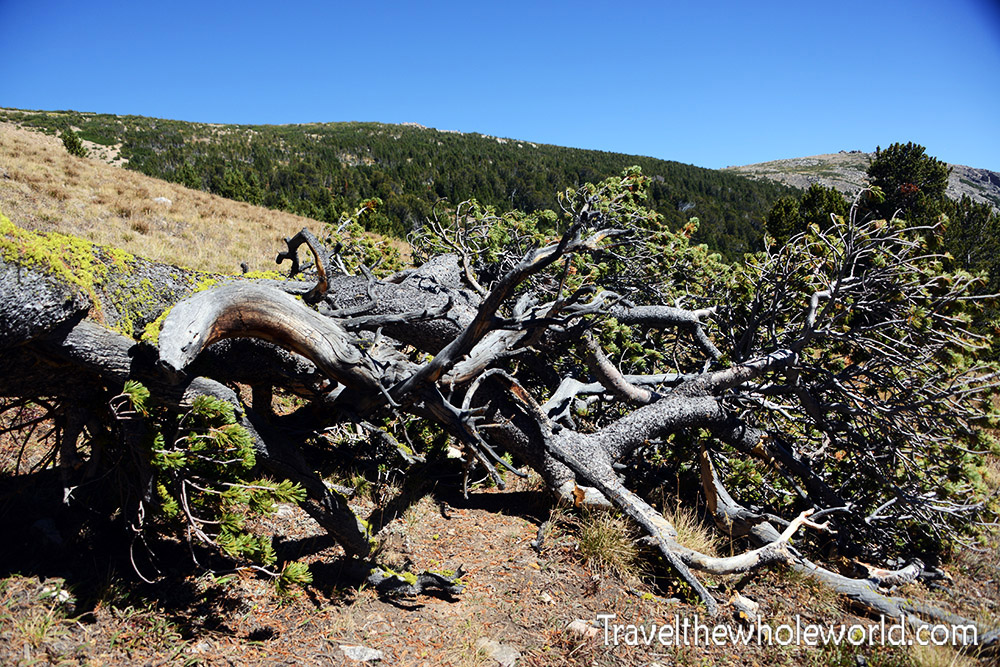
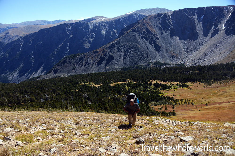
From there only a few more switchbacks remained before we reached the plateau. It was then that we realized we had essentially been doing the infamous switchbacks the entire time. I had been expecting something so brutal that I didn’t even realize I was on the “Switchbacks from Hell” until they were basically over.
Froze to Death Plateau
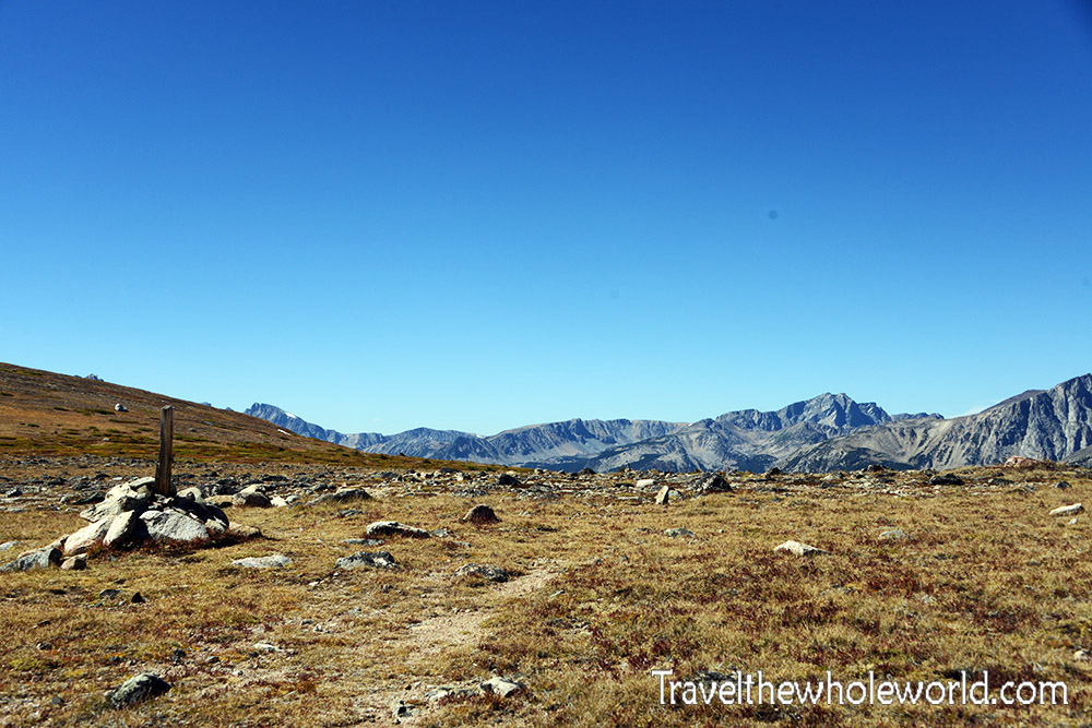
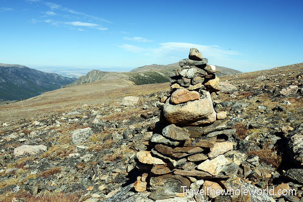
This large cairn marked the initial route onto Froze to Death Plateau. From the trailhead to this point, the trail had been extremely obvious and almost impossible to lose. Once we reached the plateau, however, we were mostly on our own except for occasional cairns marking the route.
The photo above looks back toward where we had come from. The Phantom Creek Trail rises along the right side of the distant terrain just before the dark green area.
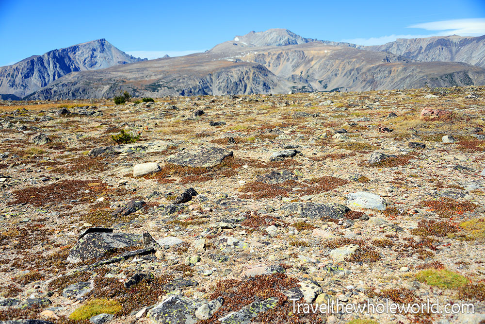
Initially the plateau was surprisingly gentle and grassy. It almost looked like an ordinary environment near sea level. As we continued higher, the landscape gradually became more barren, rocky, and colorful.
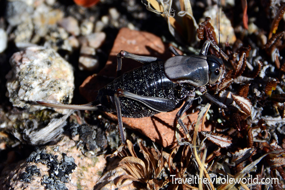
High winds and freezing temperatures make the plateau a harsh environment for wildlife. Mountain goats are frequently seen up here, but I couldn’t imagine many large animals wanting to spend much time exposed to these conditions. Somehow this huge and disgusting cricket seemed perfectly happy living here.
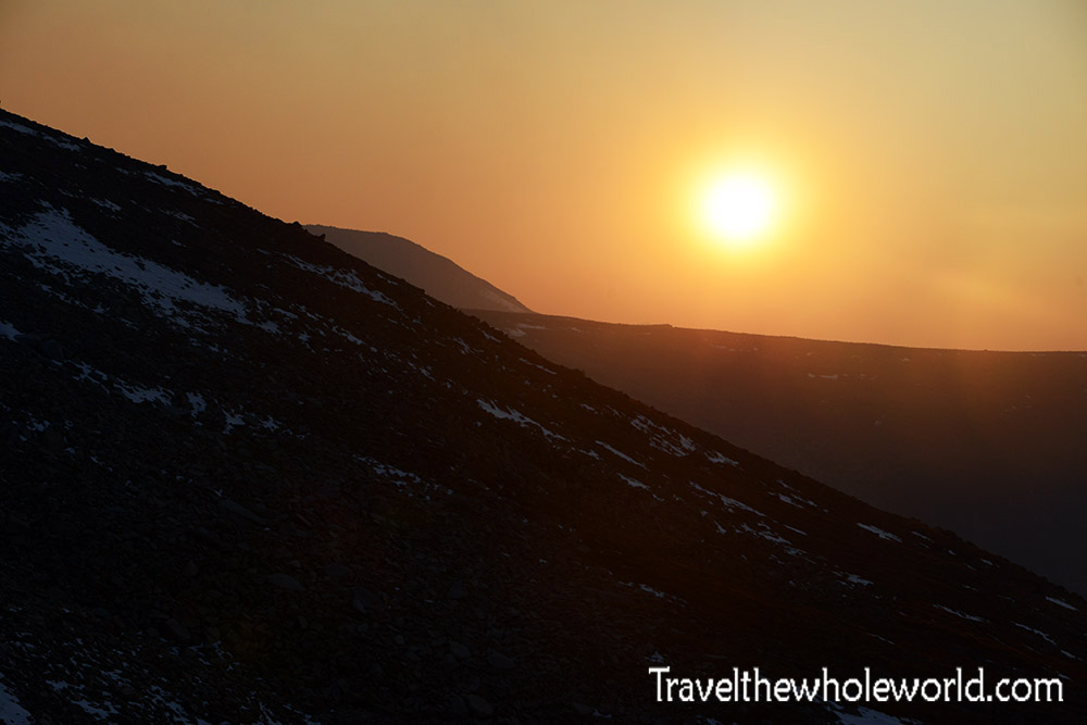
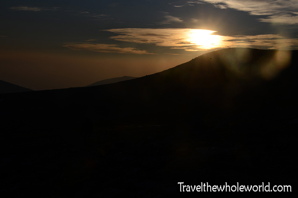
As we continued across Froze to Death Plateau, the wind increased and patches of old snow began appearing around us. Eventually we decided to make camp at approximately 11,000 feet (3,350 meters). We still had plenty of daylight, so it was actually nice to stop, take a nap, and enjoy the evening. At sunset I took the photo above.
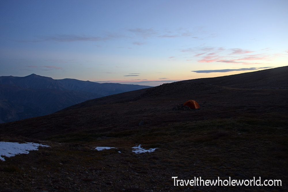
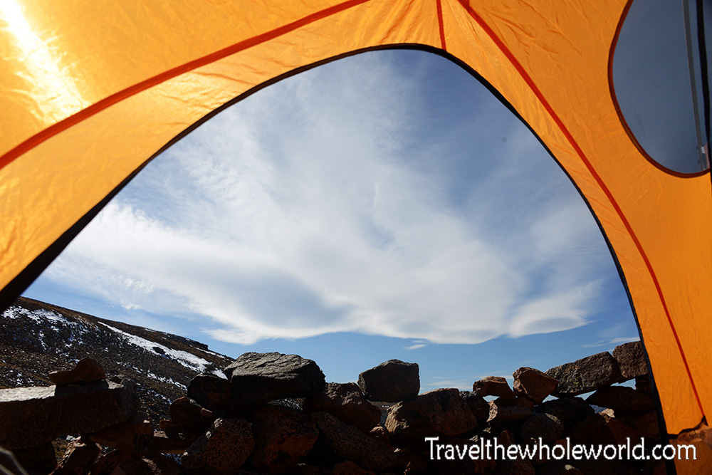
Our tent was hammered by strong winds throughout the afternoon and night. Fortunately, previous climbers had built rock walls around several campsites on the plateau. We positioned our tent behind one of them, which offered some protection, although the wind was still relentless.
Toward Granite Peak
Around midnight we were awakened by voices and headlamps passing our tent. When we descended later, the camp we had seen below the plateau was empty, so it almost certainly belonged to the two hikers who passed us during the night. I have no idea what brought them down the plateau at that hour.
We managed to get a few more hours of sleep before waking around 6:00 in the morning to continue toward Granite Peak.
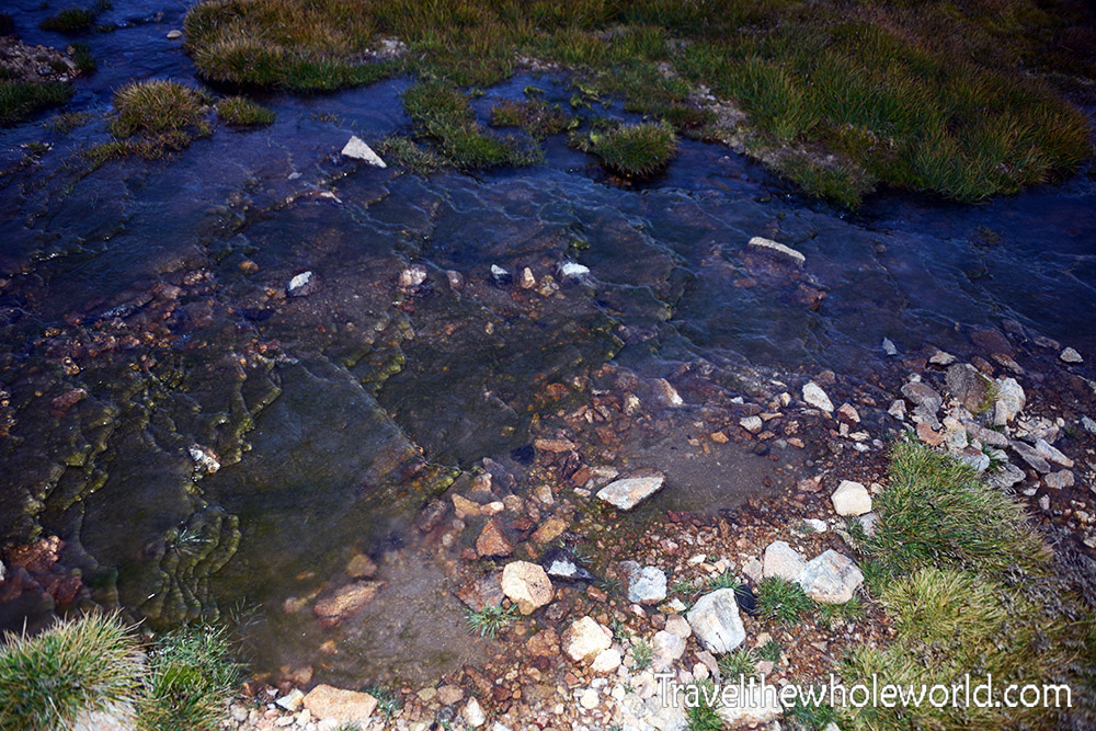
Ice covering the ground confirmed that temperatures had dropped below freezing during the night. We had both slept comfortably enough since it was only slightly below freezing, and hiking with heavy packs quickly warmed us up again.
The bigger problem was the wind. It had remained strong throughout the night, and I’d estimate it was blowing around 25 mph (40 kph) when we started hiking toward the far end of the plateau.
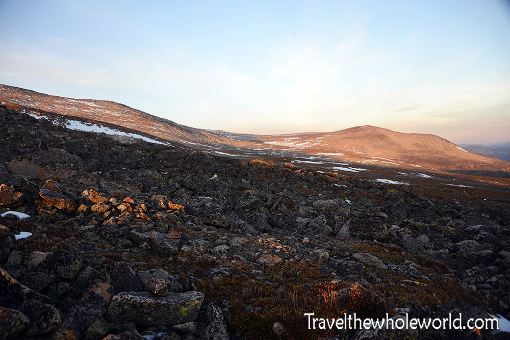
After roughly two hours of hiking, my remaining friend decided to turn around and return to camp. He was in incredible shape, but he had injured something in his leg the previous day and the pain was making every step increasingly difficult. I was worried he had pulled a major muscle and could have trouble descending if we continued farther.
We made the dangerous decision to split up. He returned toward camp while I continued alone across the plateau in freezing temperatures and brutal winds. I wasn’t confident about the decision even at the time. Before we separated I told him, “This is how people die in the mountains.”
Granite Peak is a technical climb, so I already knew there was no chance I would attempt the summit alone. I was carrying 200 feet (60 meters) of rope, climbing nuts, pickets, slings, and essentially everything we needed for the climb, but without a partner none of that mattered.
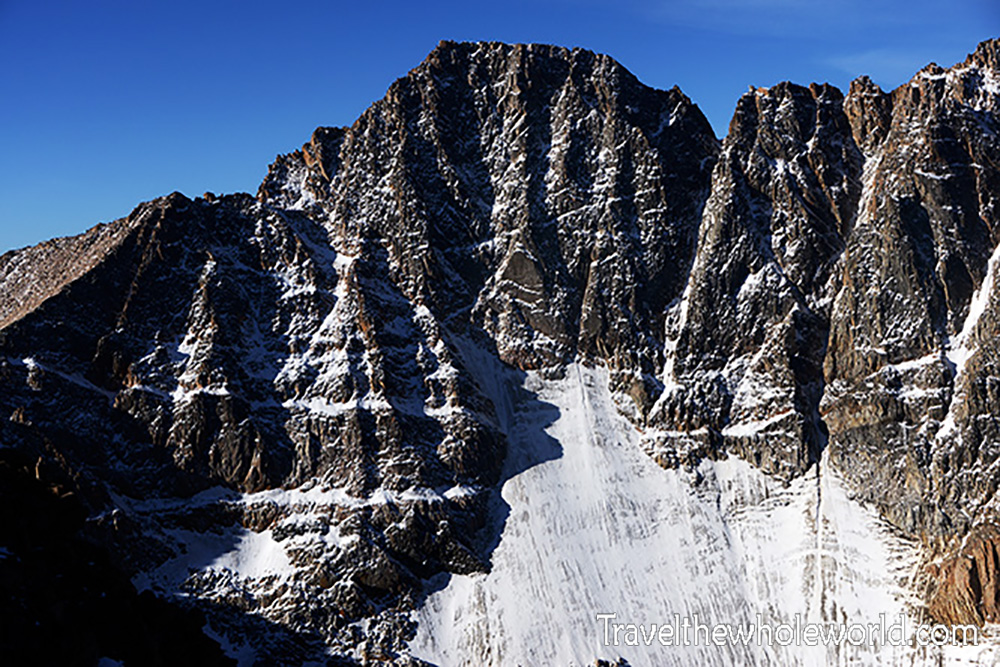
I decided I would at least continue far enough to finally see the mountain and get an idea of what the climb looked like. When I reached the far end of Froze to Death Plateau, Granite Peak finally appeared.
At 12,799 feet (3,901 meters), Granite Peak isn’t especially high compared with many mountains I’ve climbed, but it looks far more intimidating than its elevation suggests. Jagged rock rises abruptly beyond the plateau, and the mountain has long had a reputation as one of the most difficult state high points in the continental United States.
As I approached the edge of the plateau for a better view, the wind became ridiculous. Gusts were probably reaching around 50 mph (80 kph), strong enough to knock me down several times. At that point there wasn’t even a decision to make. Even if all three of us had reached this point feeling perfect, there was absolutely no way we were attempting Granite Peak in those conditions.
So after carrying all of our climbing equipment into the wilderness, Granite Peak remained untouched. We all made it safely back out before the incoming storm, and each of us left wanting another attempt. The summit would have to wait for another trip.
Explore More of Montana
Butte • Bannack • Billings • Glacier National Park • Helena • Rural Montana • the Absaroka Beartooth Wilderness