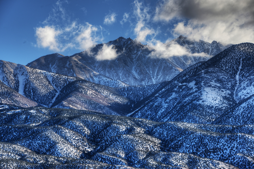
Boundary Peak is the highest point in Nevada, rising to 13,146 feet (4,006 meters). Strangely, there’s some debate over whether it should really be considered Nevada’s highest mountain. Some people argue for Wheeler Peak because it sits completely within Nevada, while Boundary Peak is close to the California border and connected by a ridge to the slightly taller Montgomery Peak in California.
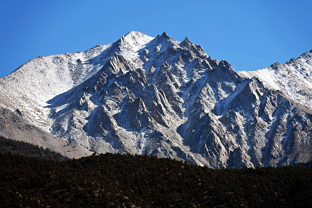
No one would say Mt. Everest isn’t Nepal’s highest mountain because it sits on the border with Tibet. The same logic would create problems for famous mountains around the world like Mont Blanc or K2. I’ve even heard Boundary Peak dismissed as little more than a bump on the way to Montgomery Peak. Before arriving, I seriously thought Boundary Peak might be the little bump beneath the cloud on the far left of my photo above. For me there’d still be no debate if that was the high point, but with my low expectations I was surprised to find out that Boundary Peak is actually the large mountain directly in the center, with Montgomery Peak barely visible to the right. I don’t know how anyone could look at it and say that’s not a mountain!
My First Attempt on Boundary Peak
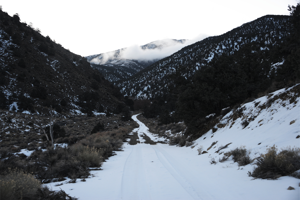
Despite all that rambling about Boundary Peak, this mountain gave me more problems than it should have. I actually made three trips to the trailhead area before I finally made it to the top! Although that’s not exactly true; the first time I didn’t even make it to the trail. I had arrived in the middle of winter, and deep snow stopped me at 7,000 feet (2,100 meters) while the true trailhead begins at 9,600 feet (2,925 meters). In hindsight, this felt like an obvious issue I should have anticipated before I arrived, but the locals in the towns outside the mountains didn’t even realize how much snow had accumulated at higher elevations. The photo above was taken around 7,000 feet and was as far as my rental car could go. Shortly afterward, the road became too steep and risky.
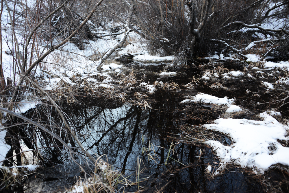
Ideally I would have started hiking around 8 AM from the normal trailhead, but at 7:30 that morning I was still about 3,000 feet (900 meters) below the intended starting point. I had three choices: give up and go home, walk several miles along the winding road to the trailhead, or make my own direct route up the mountain. Naturally, I chose option three and headed off trail. One of the first things I came across was this little pond, which somehow wasn’t frozen despite the winter conditions.
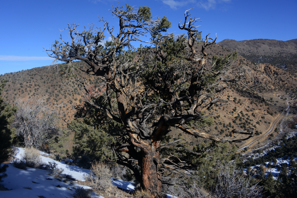
I had a topographical map with me, and it looked like the hardest part would be the initial climb to gain a ridge. From there I could make a much more direct approach toward Boundary Peak. I’d still have to climb the additional 3,000 feet, but cutting across the mountain instead of following the road would save me several miles. The initial climb was steep enough that my ice axe was actually handy. Once I gained the ridge I took the photo above. You can see the road behind the tree winding toward the normal trailhead and why taking the ridge seemed like the smarter route.
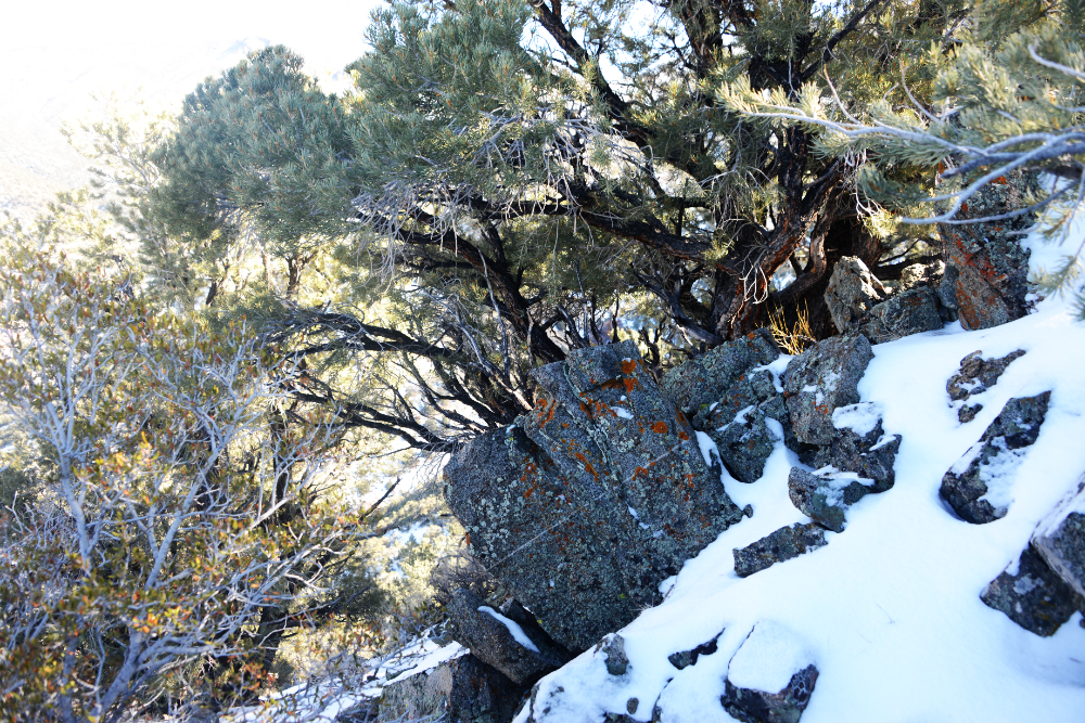
After climbing the steep gully to the ridge, things became surprisingly easy. I came across this colorful rock above, while the photo below looks back along the ridge I had followed. I knew that traveling alone and off trail in the mountains during winter wasn’t exactly the safest decision, especially since I had no idea what conditions I might encounter farther up. So far, though, the shortcut was working perfectly. The terrain wasn’t difficult and staying on the ridge made it almost impossible to get lost.
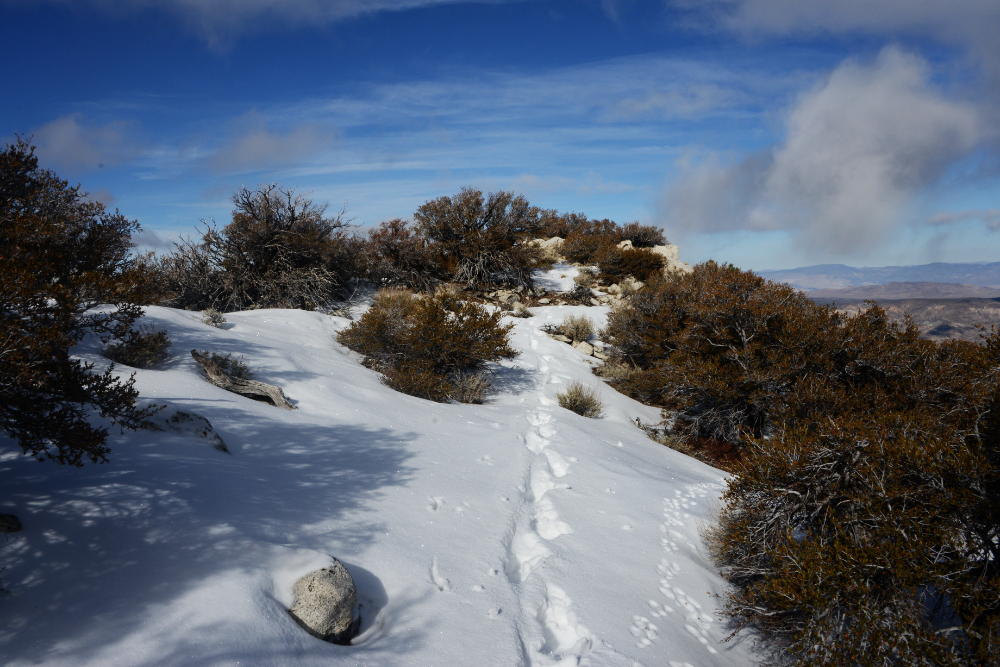
There was plenty of snow, but it was so light and powdery that it provided almost no resistance. I barely had to break trail and figured this must be that famous western powder I always hear about! The photo below shows the next ridge I needed to gain, which would put me above 9,500 feet. Although I still wasn’t on the official trail, reaching that elevation would essentially put me at the same height as the normal starting point while leaving me considerably closer to the summit.
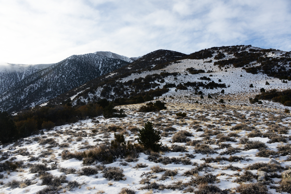
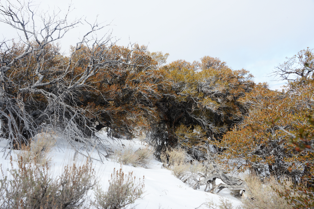
I wish I had taken more photos to document this climb, but these will have to do. The picture above shows the real catalyst that eventually forced me to turn around. These evil trees were packed so densely together that they slowed my progress to a crawl. I forced onward, expecting them to give way the higher I went, but around 10,000 feet I instead encountered what felt like a wall of trees. Most of the time I could duck underneath them or find a way around, but occasionally I had no choice but to climb directly through the branches.
After enough crawling, climbing, and cursing, I looked down and noticed a large tear in my pocket and that my GoPro was missing. I’d already lost one in the past, and since my confidence hadn’t been high about making up my own trail to begin with, I decided to turn back.
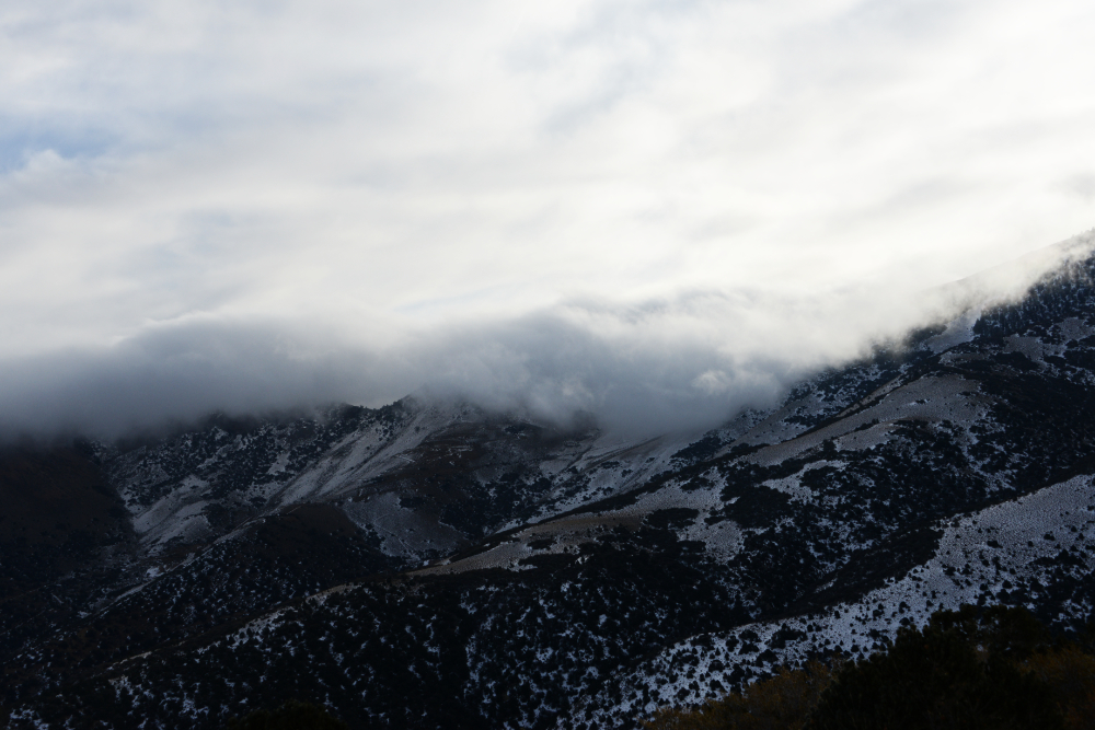
It’s always disappointing to turn around on a mountain, and at first I was even more disappointed because I assumed my GoPro was gone forever. I figured it had been ripped from my pocket somewhere in the thickest trees, but only about 15 minutes after turning around I spotted it lying in the snow. It wasn’t even 11 AM yet, so for a moment I considered turning around and heading back up toward the summit.
From where I stood, I could see nothing but more thick trees ahead, and worse weather was beginning to move in. I still had plenty of daylight and had made it surprisingly close to the middle section of the normal route, but I decided I’d pushed my improvised winter climb far enough. Boundary Peak would have to wait for another day.
Returning to Boundary Peak
Years later, I met up with a friend to climb Mt. Whitney. Without any plans to climb Boundary Peak, we drove back to the trailhead since it was along our route anyway and checked out the conditions. They were more or less the same as before, so we didn’t even bother giving it a go. A few years later, I returned again in September 2024 and finally found perfect conditions. Despite it being a beautiful day, I was surprised to find that nobody else was there. I headed up the mountain alone.
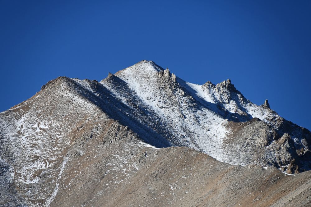
Since my expectations for Boundary Peak still weren’t particularly high, I was surprised to find this to be a very enjoyable climb. The route gets steeper as you gain elevation and there is plenty of scree, which actually made the ascent more interesting to me. Rather than feeling like I was simply following a trail to the highest point in Nevada, the steeper terrain made it feel much more like climbing a mountain.
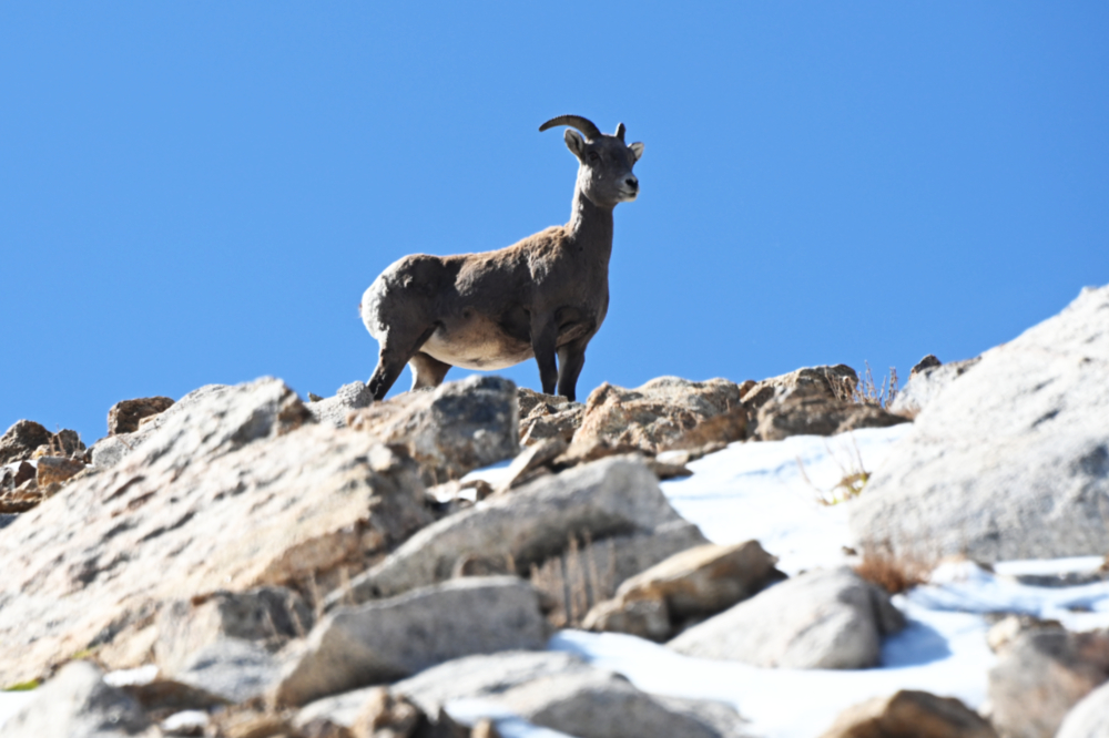
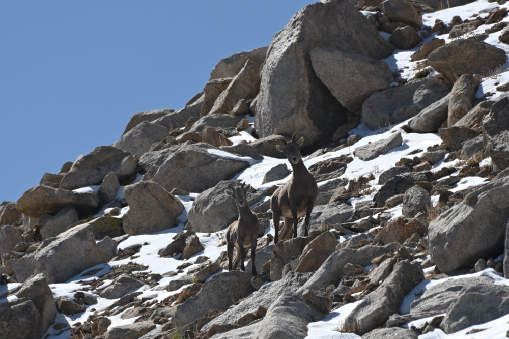
I also came across mountain goats along the way, which was an unexpected bonus on an already beautiful day.
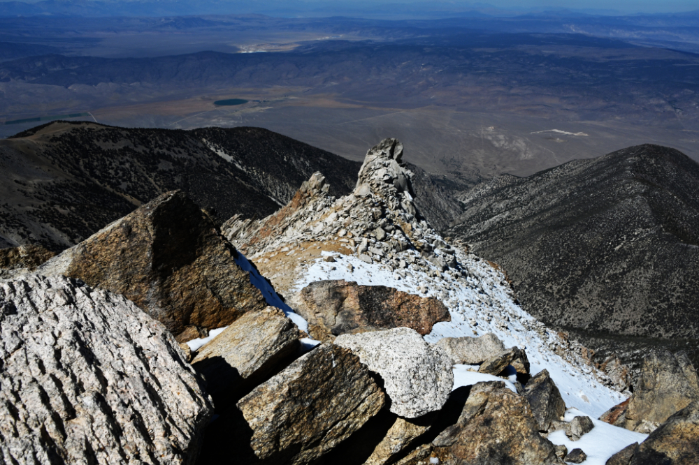
The views were one of the best parts of the climb. Boundary Peak rises high above the surrounding Nevada desert and plains, providing enormous views across the dry landscape below.
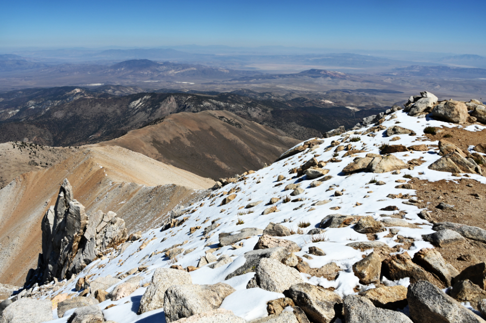
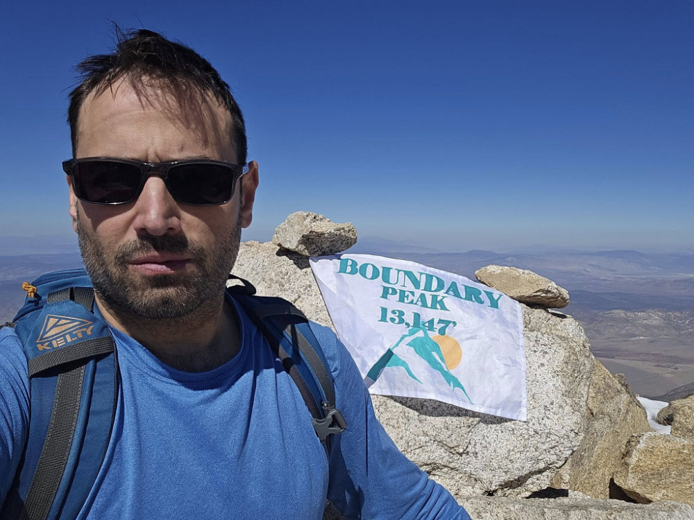
Another high point crossed off! The summit itself was pretty cool as well. Rather than being a large flat piece of dirt, it had some interesting rock features. Between the steeper scree climb, the surrounding desert views, the mountain goats, and the summit itself, I was enjoying Boundary Peak considerably more than I had expected.
Explore More of Nevada
Boundary Peak • Carson City • Lake Tahoe • Las Vegas • Nevada Deserts • Reno
