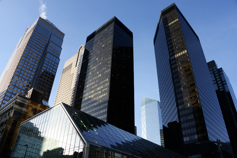
Calgary is sometimes nicknamed the Texas of Canada, largely because of the importance of oil and energy to the city’s economy and identity. It’s one of Canada’s largest cities, and its downtown, packed with modern skyscrapers, was more impressive than I would have thought!
Downtown Calgary
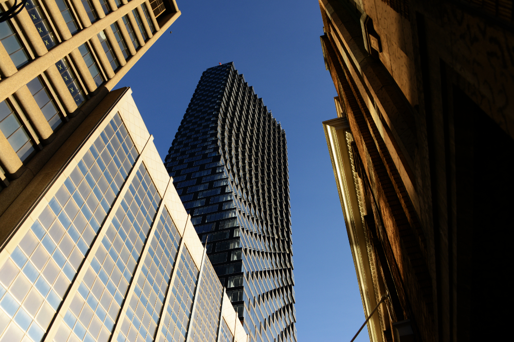
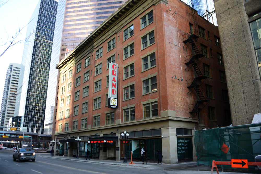
Calgary began developing around Fort Calgary in the 1870s and was incorporated as a city in 1894, so its historic buildings are relatively young compared with those in many older North American cities. The GRAND opened in 1912 as the Sherman Grand Theatre and became an important part of Calgary’s cultural life. Over more than a century, the theatre and the building around it survived major changes to the city, a fire, floods, and repeated threats to its future. The Lougheed Building that houses it was designated a Provincial Historical Resource in 2005, helping preserve an unusual piece of Calgary’s early 20th-century architecture.
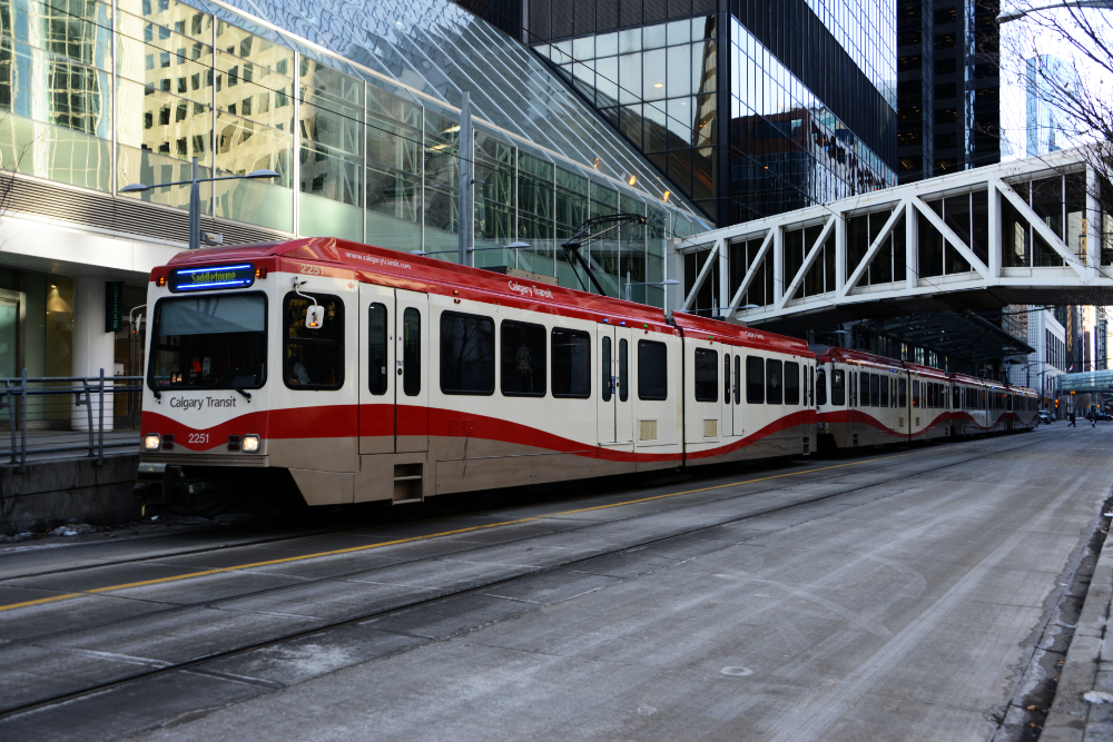
I kind of hate myself for not doing more in Calgary. I was here for several days but was hit by the lazy bug for whatever reason. I didn’t really do anything touristy and ended up going out a lot to local bars and restaurants, along with taking a few random walks around the city. These two photos are also from downtown: one of Calgary’s CTrains above and pedestrians walking through the city below.
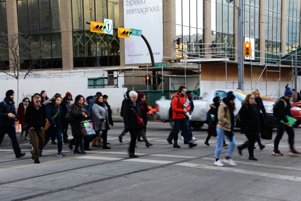
Winter in Calgary
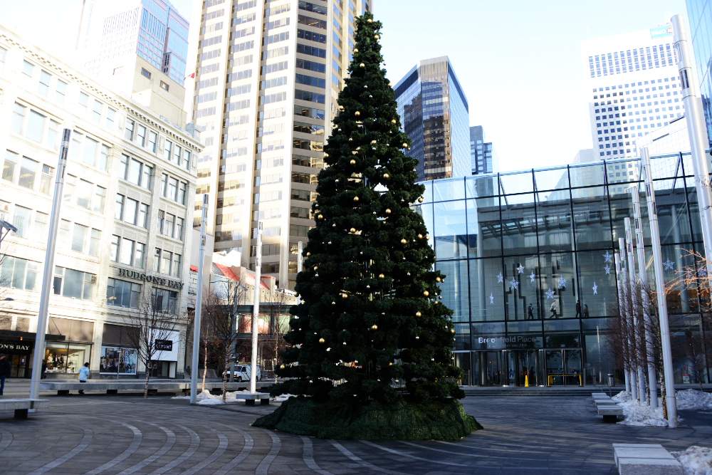
I visited Calgary during the Christmas season, when decorations and Christmas trees added some color to the downtown streets in the middle of winter.
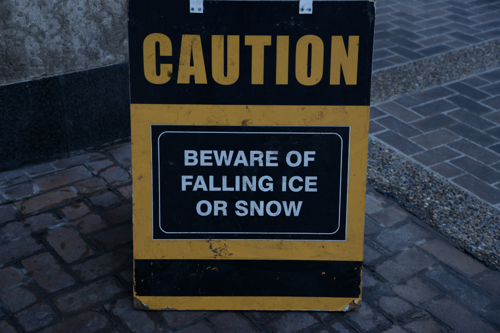
Something a bit unique to Canada that caught my attention while walking around were warning signs for falling ice. I suppose it makes sense in a colder climate where snow and ice can accumulate high on buildings, but unless you’re constantly walking with your head straight up, I don’t really see how it can be avoided. What I also liked about Calgary was that many downtown buildings were connected by enclosed elevated walkways like the one below. That’s one way to avoid falling ice.
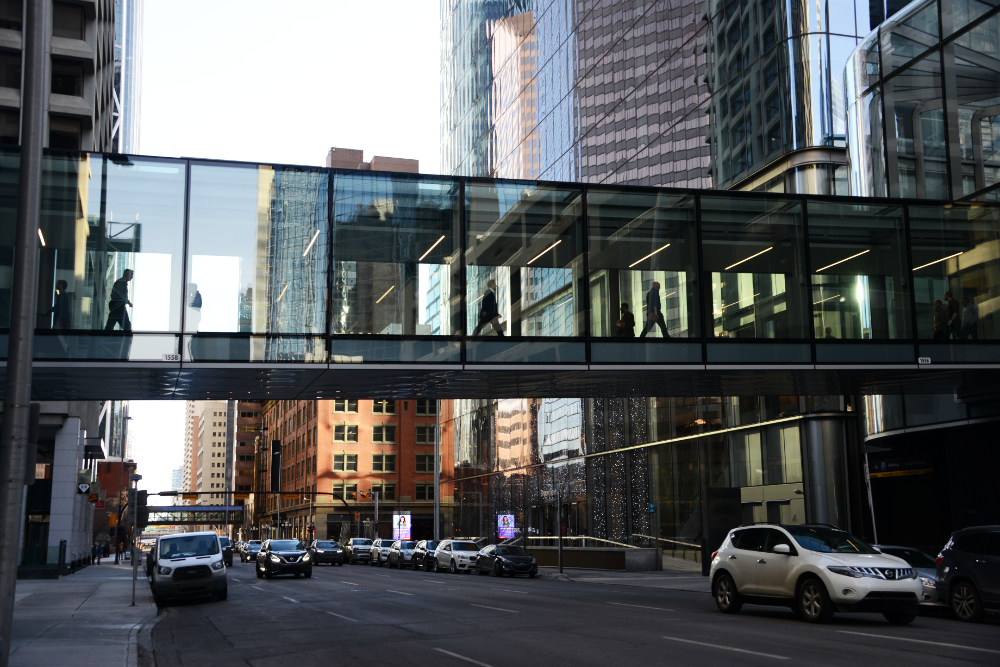
I later learned that these walkways are part of Calgary’s Plus 15 network, named because the bridges are generally about 15 feet above street level. The network connects buildings throughout downtown and provides more than 16 kilometers of elevated, largely climate-controlled pedestrian routes. In the middle of a Calgary winter, I could certainly understand the appeal.
The Bow River and Peace Bridge
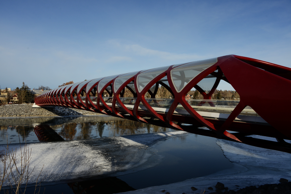
One thing I did was spend some time along the frozen Bow River and cross Calgary’s Peace Bridge. The distinctive red pedestrian and bicycle bridge opened in 2012 and is sometimes compared to a finger trap because of its tubular, crisscrossed design. There were a fair number of pedestrians using it when I visited, and even more Canada geese around the river.
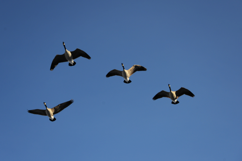
I saw some impressive flocks that included maybe two dozen geese flying in a V formation. They always seemed to be flying sideways or at an angle that I couldn’t capture, so the best I got were these four!
Explore More of Canada
Mt. Garibaldi • Banff • Calgary • Vancouver