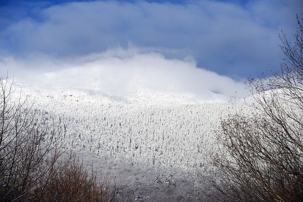
When I decided in late 2016 to climb the highest point in each state, Mt. Mansfield was my first mountain. I had already climbed a few of the 50 state high points, but decided to start over with the exception of Denali, since that’s such a time-consuming mountain. I’d rather spend a month backpacking through South America than climb the same mountain again! My first view of Mt. Mansfield was the one above, with the summit, known as the Chin, hidden beneath the low clouds. Mt. Mansfield stands at 4,393 feet (1,339 meters), making it Vermont’s highest mountain. With such a low elevation you might think it would be near the bottom of the 50 state high points, but thanks to the relatively flat southeastern United States, Mt. Mansfield actually ranks right around the middle.
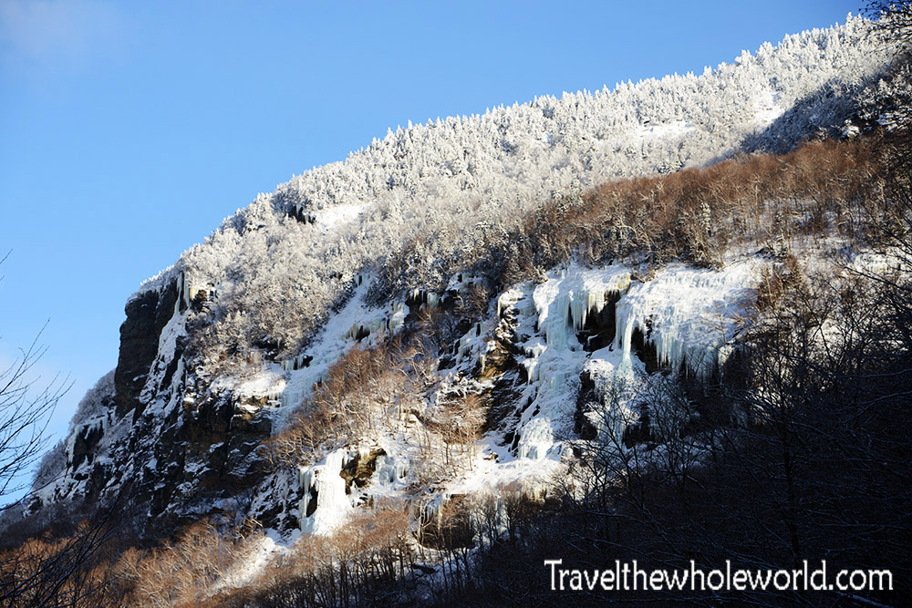
At such a low elevation, it only takes about half a day to climb Mt. Mansfield. To add to the experience, my friends and I did some ice climbing at the base of the mountain the day before. This area is known as Smugglers Notch and is one of the most popular places for ice climbing in Vermont. There’s plenty of ice to choose from, with routes ranging from WI1 all the way to WI6.
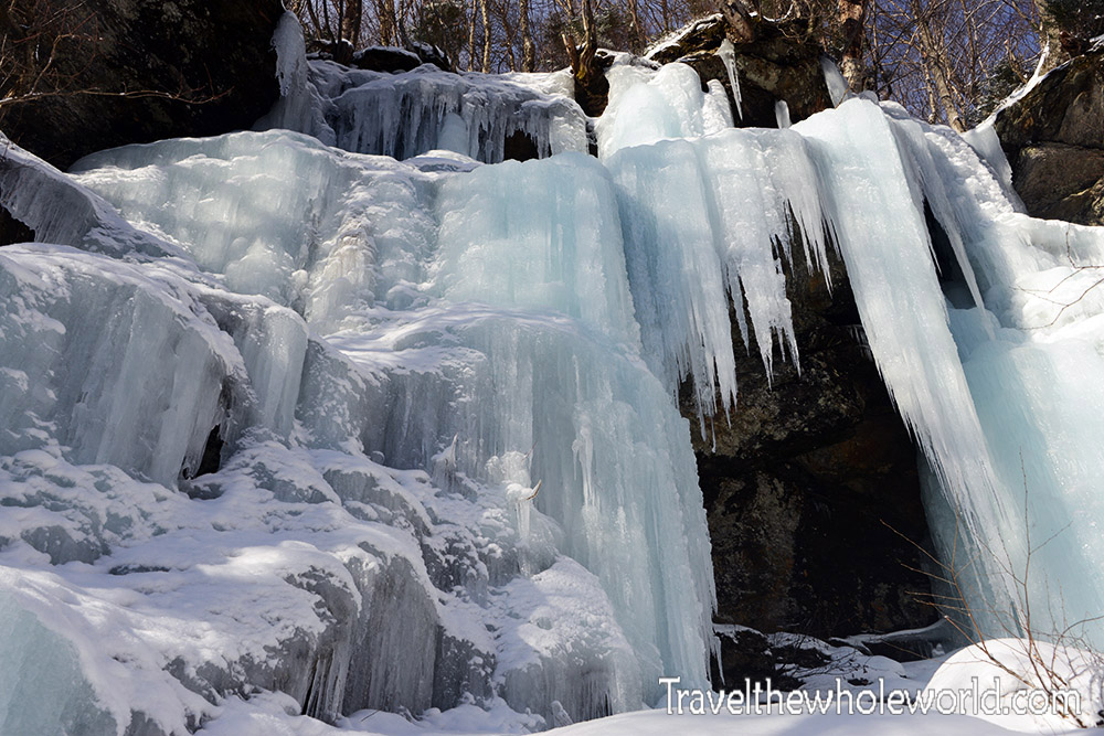
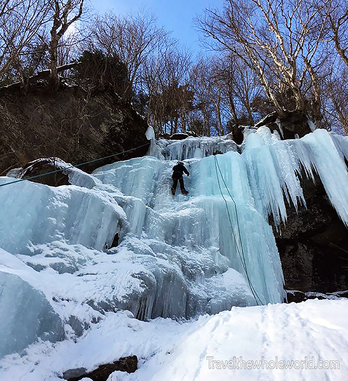
To be honest, I was a bit disappointed when I first saw the waterfall we had selected to climb. The waterfall itself looked amazing, but I had imagined ice climbing on the side of a mountain with a dramatic view. In reality, this was probably the perfect place to start. It was my first time doing any serious ice climbing, and I found even lower grades of ice climbing much more demanding than moderate rock climbing. Maintaining your balance while front-pointing on rock-solid ice and holding yourself up with ice axes is certainly a different experience from rock climbing.
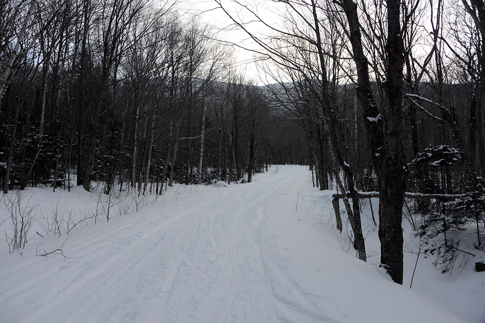
The next morning we began our ascent of Mt. Mansfield. On the way to the trailhead, we had to hike along the CCC Road for almost a mile. The road itself wasn’t anything special, but its history was interesting. CCC stands for Civilian Conservation Corps, a New Deal program created during the Great Depression that provided jobs for millions of Americans. This road was one of its projects. Across the country, the CCC also planted billions of trees and built trails, lodges, roads, and other facilities in national and state parks.
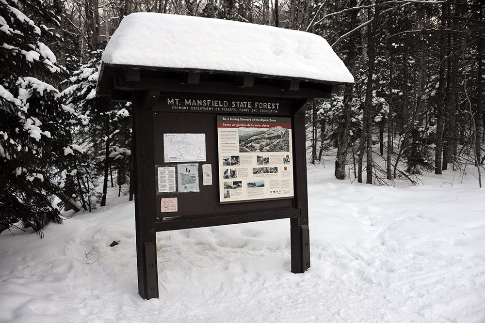
After the short hike up the road, we arrived at this trail sign. We had decided to do a loop of about seven miles round trip, including the hike along the road. From the sign we turned left onto the Sunset Ridge Trail. For about ten minutes we followed an easy section northward with very little elevation gain.
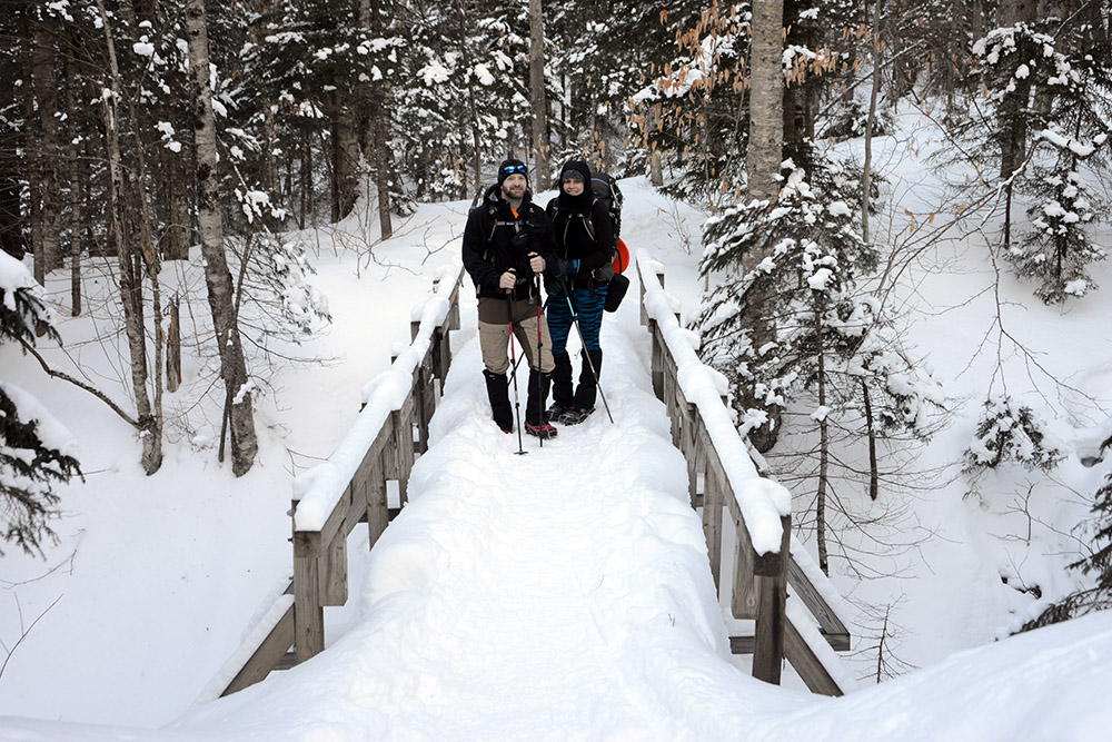
Near the beginning of the trail we crossed a few small bridges over frozen creeks. Above are two of my friends who did the hike with me. I have to travel to experience winters like this, but luckily for them they live only a few hours away in New York! We might get a blizzard here and there in Virginia, but we can easily go an entire year without much snow, and even significant snowfall usually doesn’t last long. In Vermont, deep snow remains in the forests throughout the winter. Luckily for us, most of the snow along the trail had already been packed down.
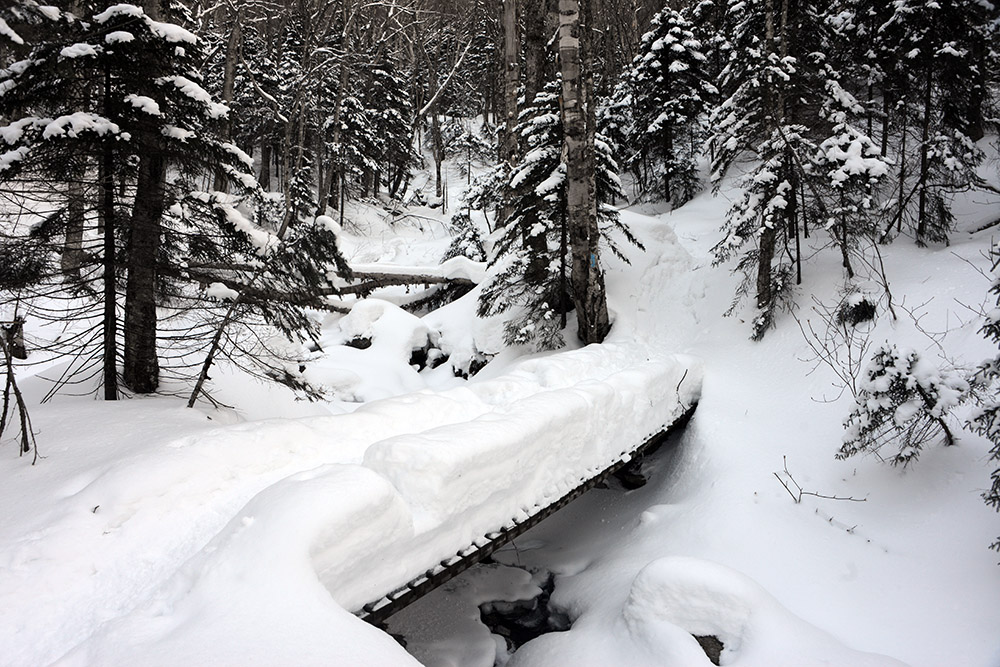
Above you can get a better idea of how deep the snow was once you stepped off the packed trail.
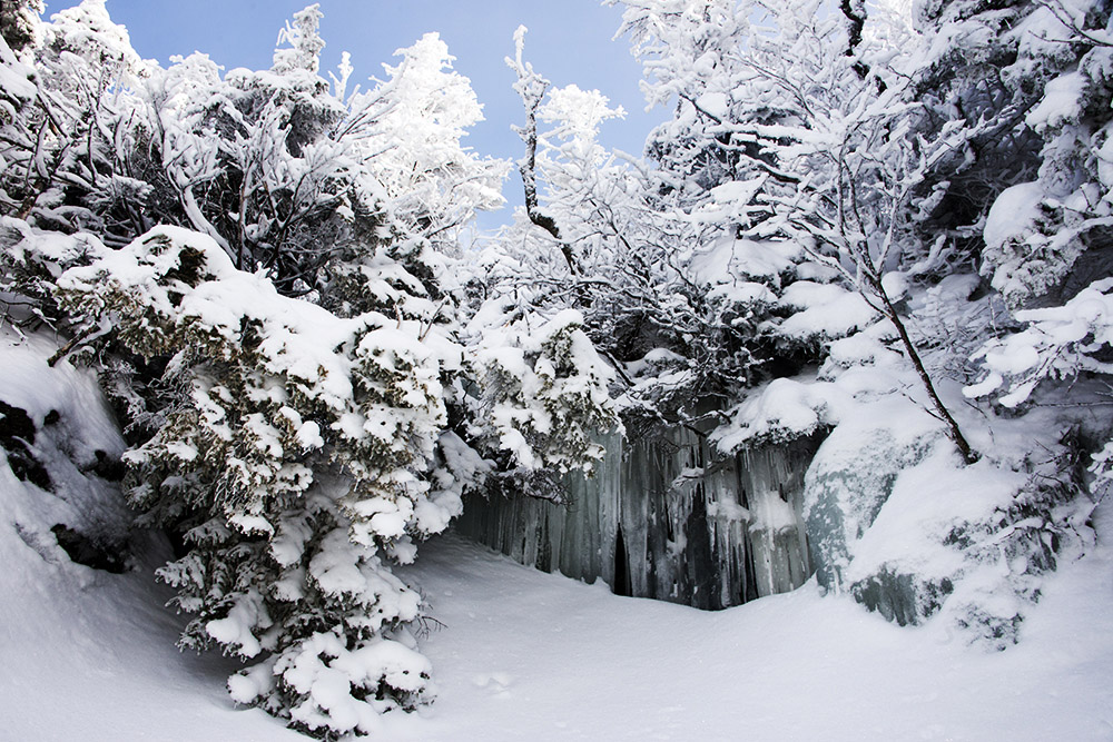
After a very short walk along the Sunset Ridge Trail, we turned right onto the Laura Cowles Trail. From here it was only 2.2 miles to the summit. While that’s extremely short in terms of distance, the trail makes up for it by being incredibly steep. It’s one of the steepest hiking trails I’ve been on. Many other mountains would have switchbacks here rather than a nearly direct route toward the summit. The steepness was perfect for me since part of my reason for coming out here was training, and some of the winter scenery along the way was absolutely amazing.
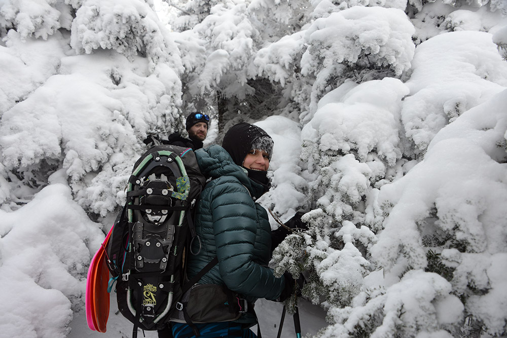
The only drawback to the Laura Cowles Trail was that it was densely covered in trees. The winter scenery was beautiful, and sometimes the branches even added to the challenge when we had to duck underneath them. The dense forest provided few views of the surrounding landscape, but that didn’t bother me much. That’s what the summit is for!
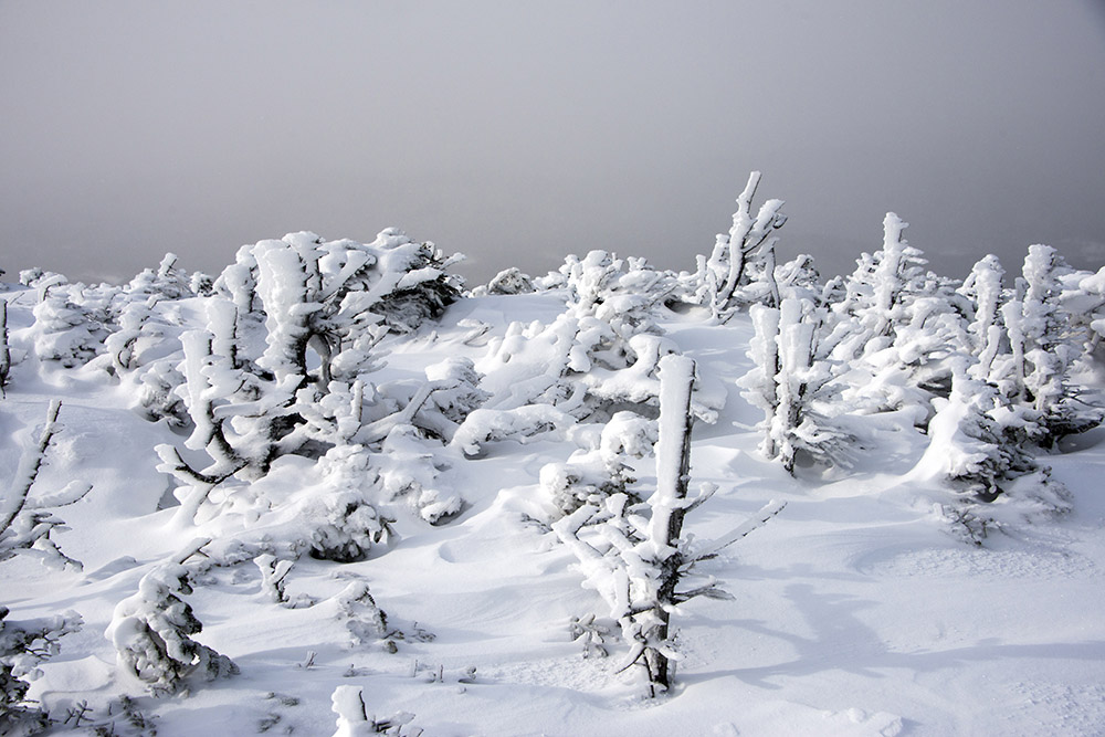
This photo is actually from the Sunset Ridge Trail on the way down, but I’m putting it here to show how quickly the terrain changes as you gain elevation. The trees become noticeably smaller toward the top, a pretty dramatic difference after only a couple hours of hiking.
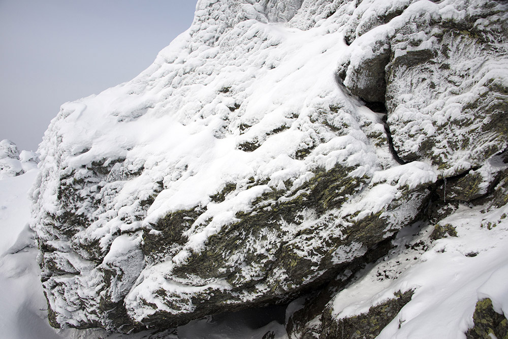
Large rocks like the one above were common along both the Laura Cowles and Sunset Ridge trails.
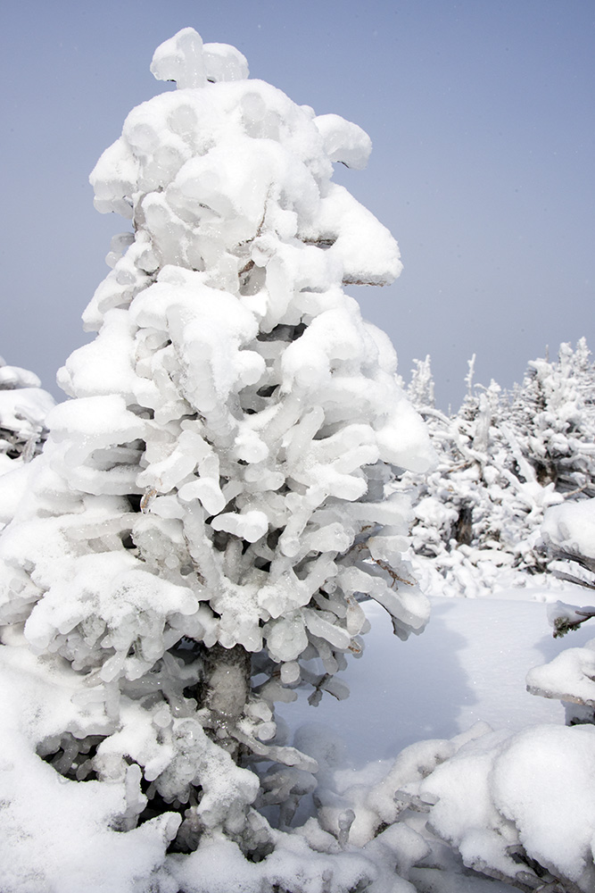
The forecast had called for temperatures close to 10 degrees below zero. It certainly didn’t feel that cold, so I wondered if the forecast was off a bit. Either way, it was definitely bitterly cold, and it’s amazing what the plants up here can survive. I’ve seen plenty of trees covered in heavy snow, but I don’t think I’d ever seen one completely encased in ice like this.
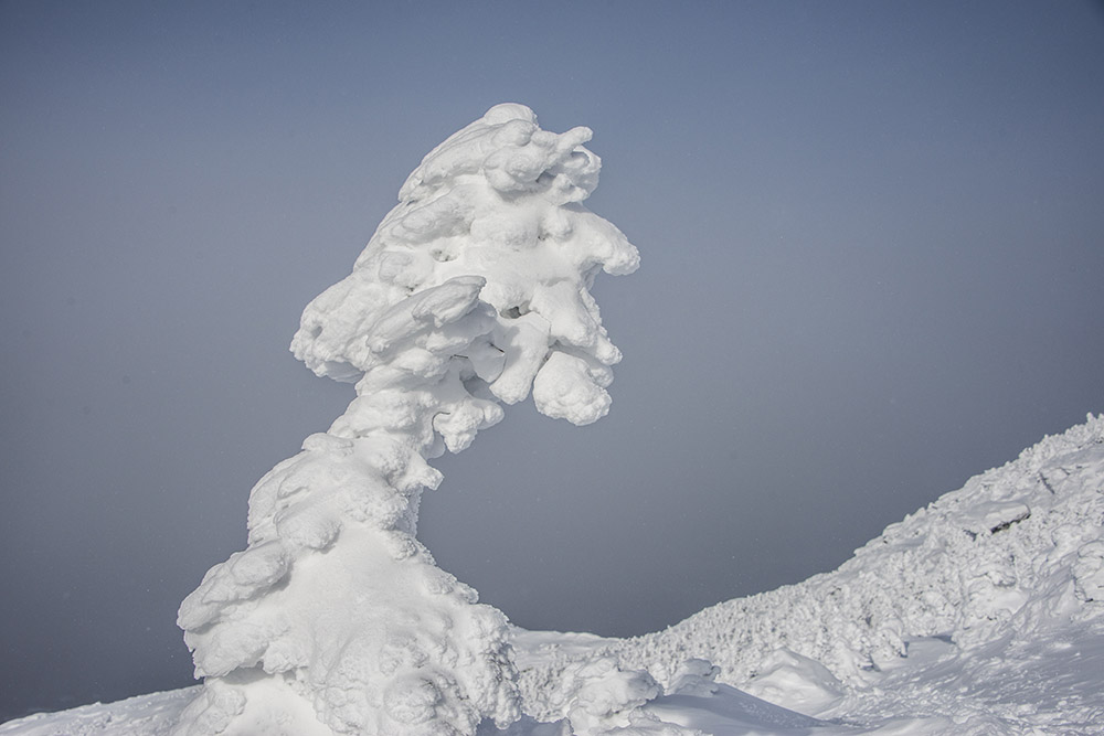
This tree was completely buried in snow and ice. It wasn’t far from the summit and was one of the highest trees I saw on the mountain.
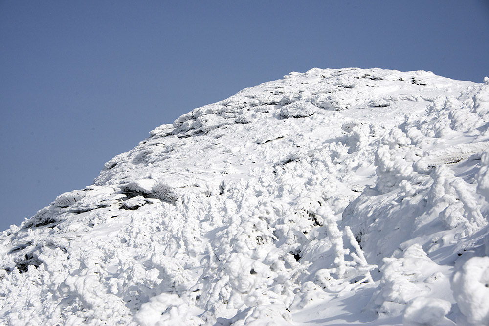
The incredibly steep terrain on the Laura Cowles Trail never really let up. It wasn’t until we intersected with the Sunset Ridge Trail just below the summit that we finally left the treeline and could see our surroundings. The photo above shows the summit from where the two trails meet.
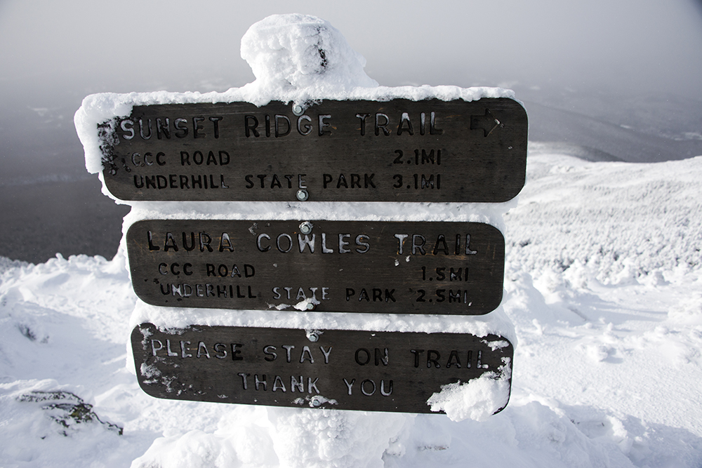
Above is the sign marking the junction of the Laura Cowles and Sunset Ridge trails, along with the distances back down the mountain.
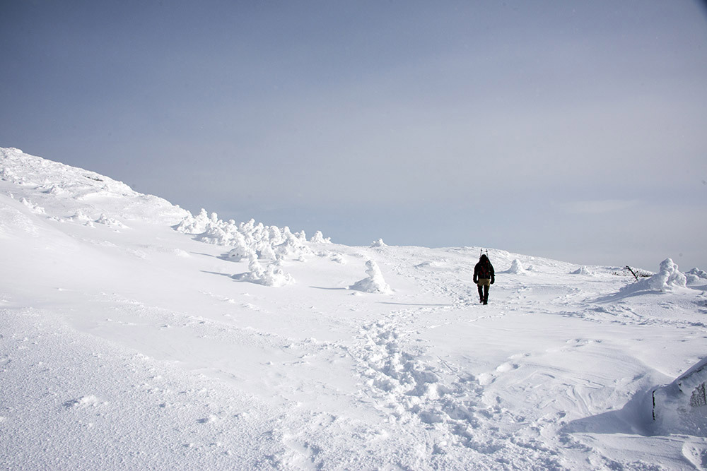
From where the trails meet, reaching the highest point in Vermont requires following a short trail directly toward the summit. Along the way we crossed this small but beautiful snow-covered plateau.
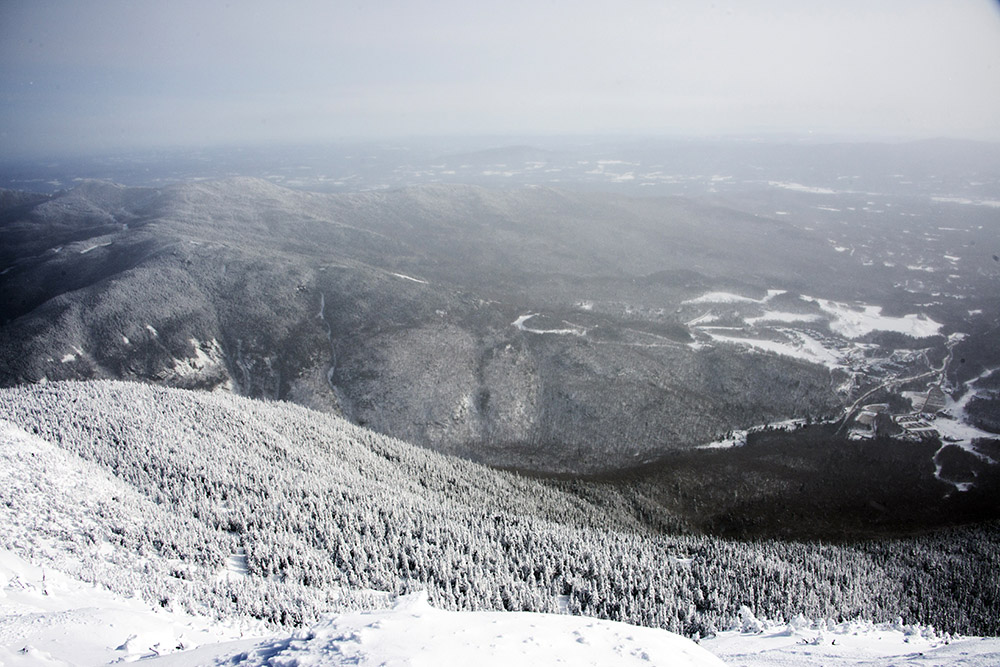
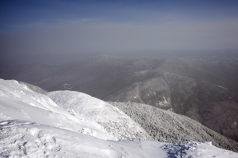
Visibility from the summit wasn’t perfect, but it was still good enough to see pretty far into the distance. The forecast had actually called for snow by the time we reached the top, so we were lucky the weather held out. I couldn’t find any obvious sign or marker showing that we were standing at the highest point in Vermont. There may have been one buried somewhere beneath all the snow.
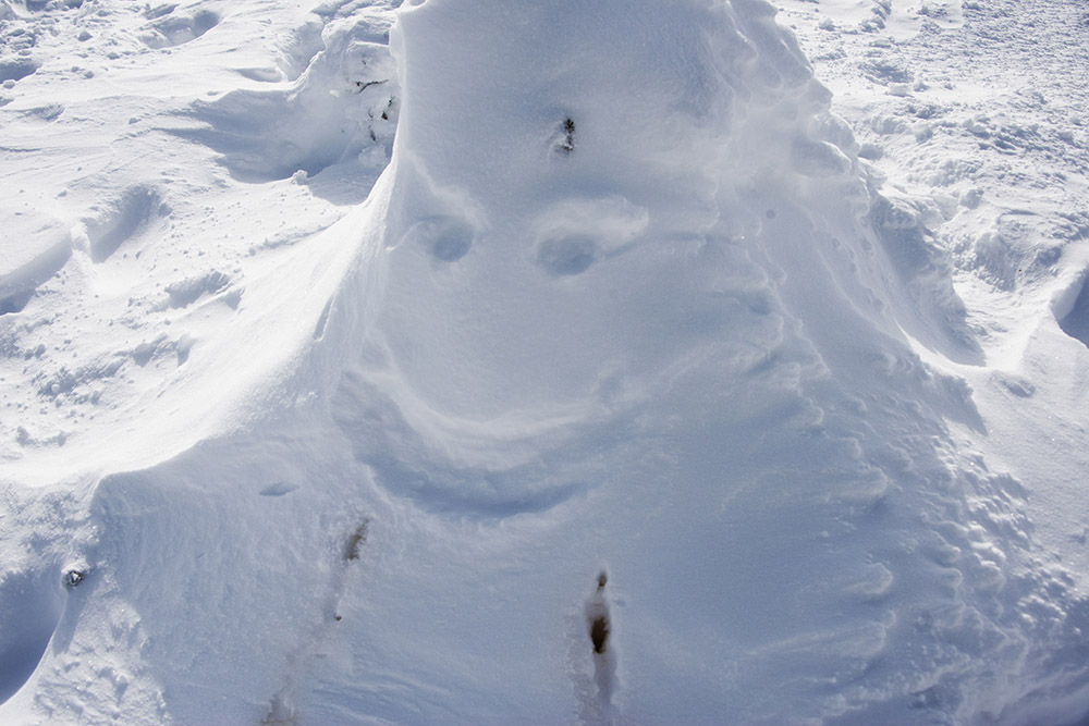
Either way, the most interesting landmark at the summit was Mr. Mansfield, which someone had taken the time to create before we arrived!
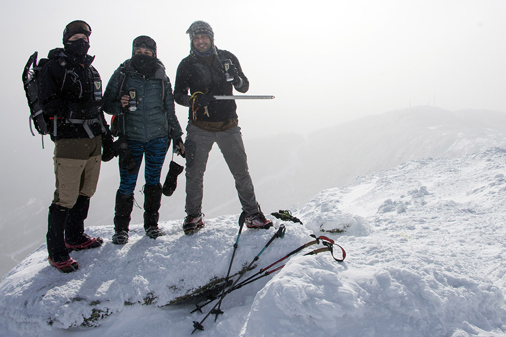
So after just a couple hours of hiking on January 8, I reached the highest point in Vermont! Starting over with my 50 state high point challenge, with Denali being the one exception, Mt. Mansfield marked #2. Only 48 more to go!
Explore More of Vermont
Mt. Mansfield • Bennington • Burlington • Montpelier