Hiking through the Khumbu Valley to Everest Base Camp is one of the best high-altitude treks in the world. I did the trek on my way to Everest Base Camp, where I later spent nearly two months climbing the mountain. What makes the journey so incredible is the combination of Sherpa culture, Buddhist monasteries, remote mountain villages, and some of the most spectacular scenery in the Himalayas. I began the hike in early April and didn’t leave the region until late May. Even in April it was surprisingly warm at the lower elevations, and I was able to hike in shorts for much of the journey. :contentReference[oaicite:0]{index=0}
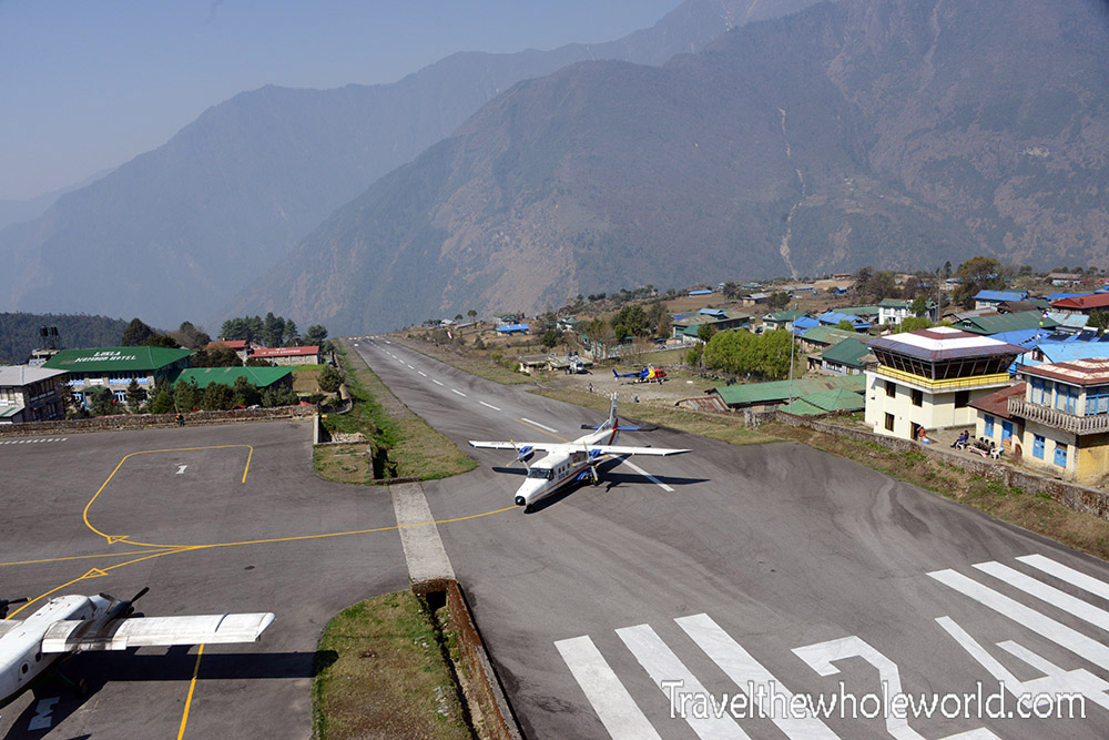
The vast majority of people visiting the Khumbu region arrive by flying into Lukla. Its airport is famous for its extremely short runway and dramatic location in the mountains. Our team was focused on reaching Everest Base Camp, so we didn’t spend much time in Lukla before immediately beginning the trek into the Khumbu Valley.
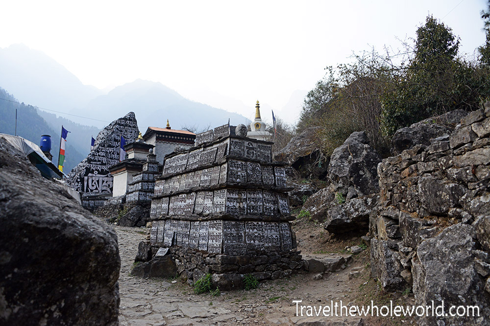
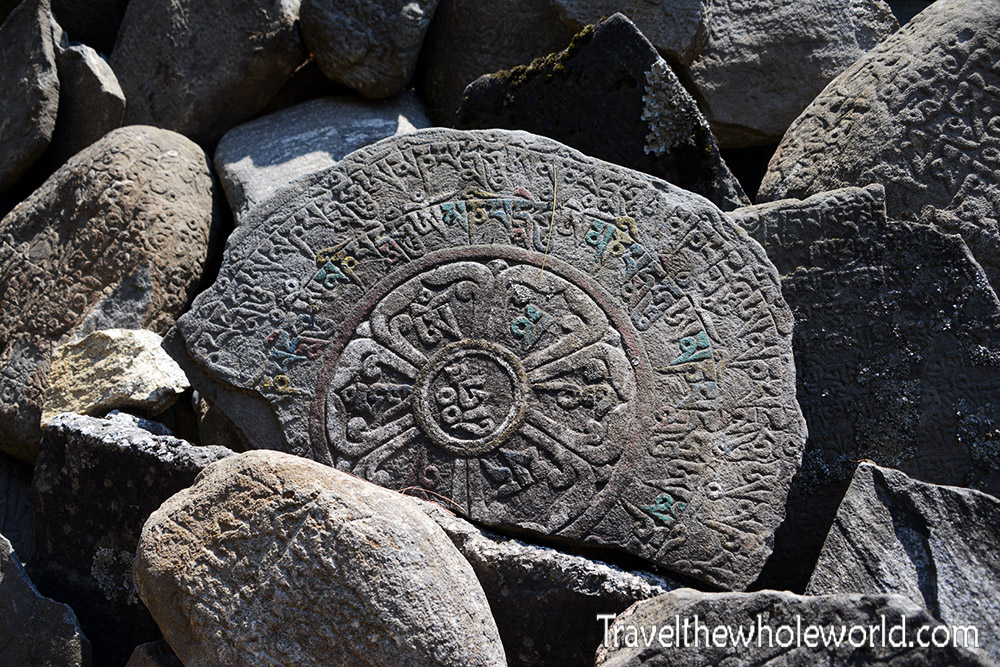
Just outside Lukla I began passing giant stones along the trail covered with Buddhist writing. Lukla itself has plenty of accommodations, food, and supplies, but as you continue higher into the mountains the permanent settlements gradually disappear. Eventually many of the lodges and stores exist primarily to support trekkers during the climbing and trekking seasons. :contentReference[oaicite:1]{index=1}

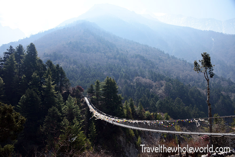
I knew before the trek that there would be river crossings, but I had mistakenly thought there was one major bridge. Instead, the trail repeatedly crosses back and forth over the river on long suspension bridges as it works its way higher into the valley.
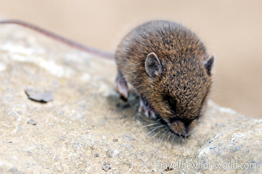
I didn’t see much wildlife in the lower Khumbu Valley, probably because of the amount of foot traffic along the trail. I did come across this little mouse, which didn’t seem to mind me stopping for a few photographs.
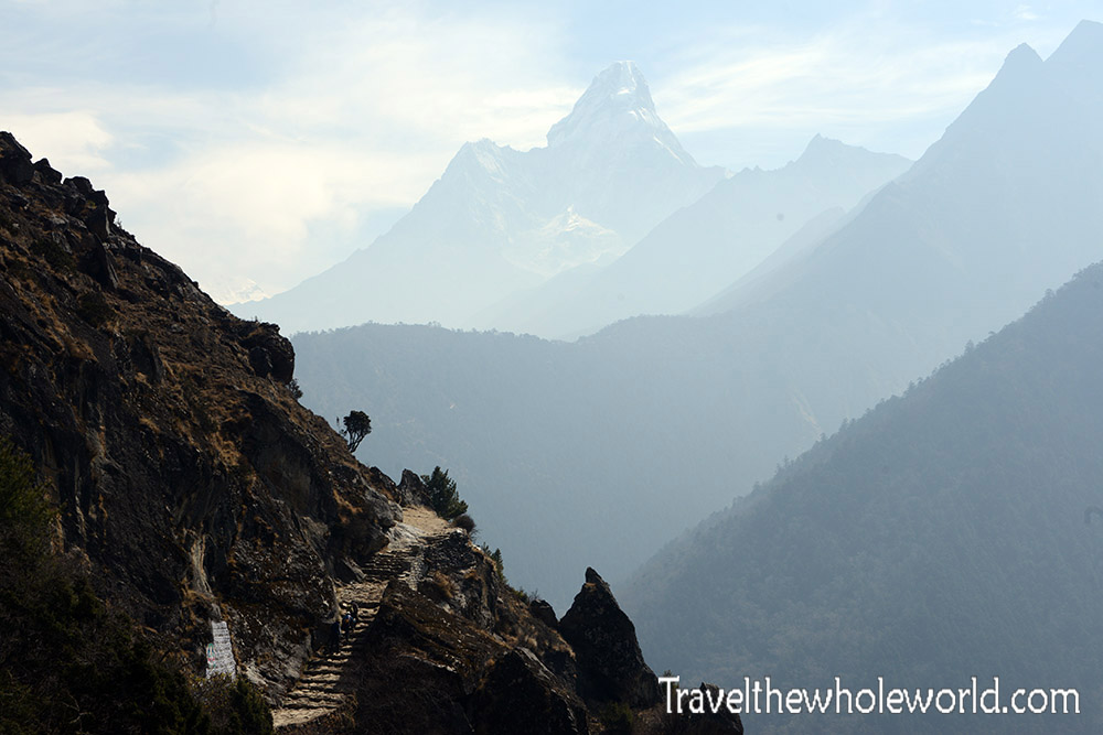
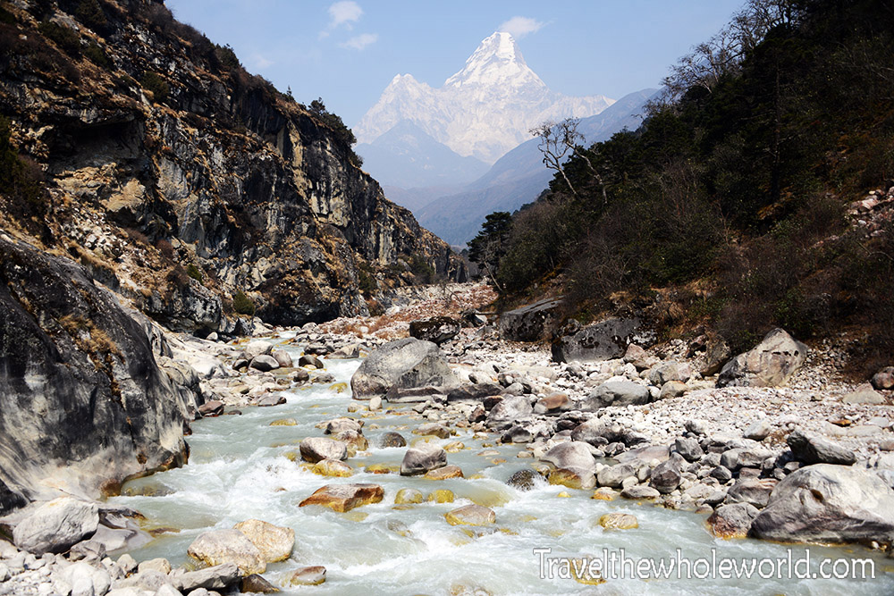
As you travel deeper into the Himalayas, the scenery becomes spectacular. One of the most recognizable mountains along the route is Ama Dablam, sometimes nicknamed the Matterhorn of the Himalayas. I think they have that backwards and the Matterhorn should be called the Ama Dablam of the Alps! These photographs show Ama Dablam from different locations along the trek.
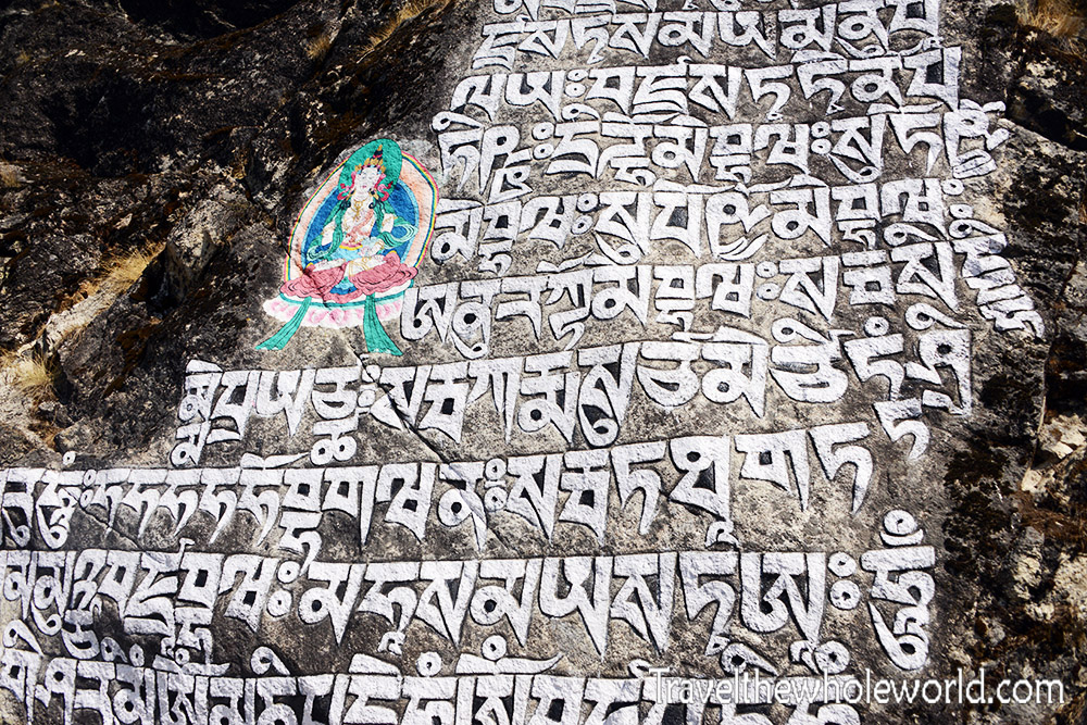
Buddhist culture remains visible everywhere along the lower portions of the trail. Mani stones like these are carved or painted with Buddhist inscriptions and can be found beside trails and settlements throughout the Khumbu Valley. They became less frequent as I climbed higher into the mountains.
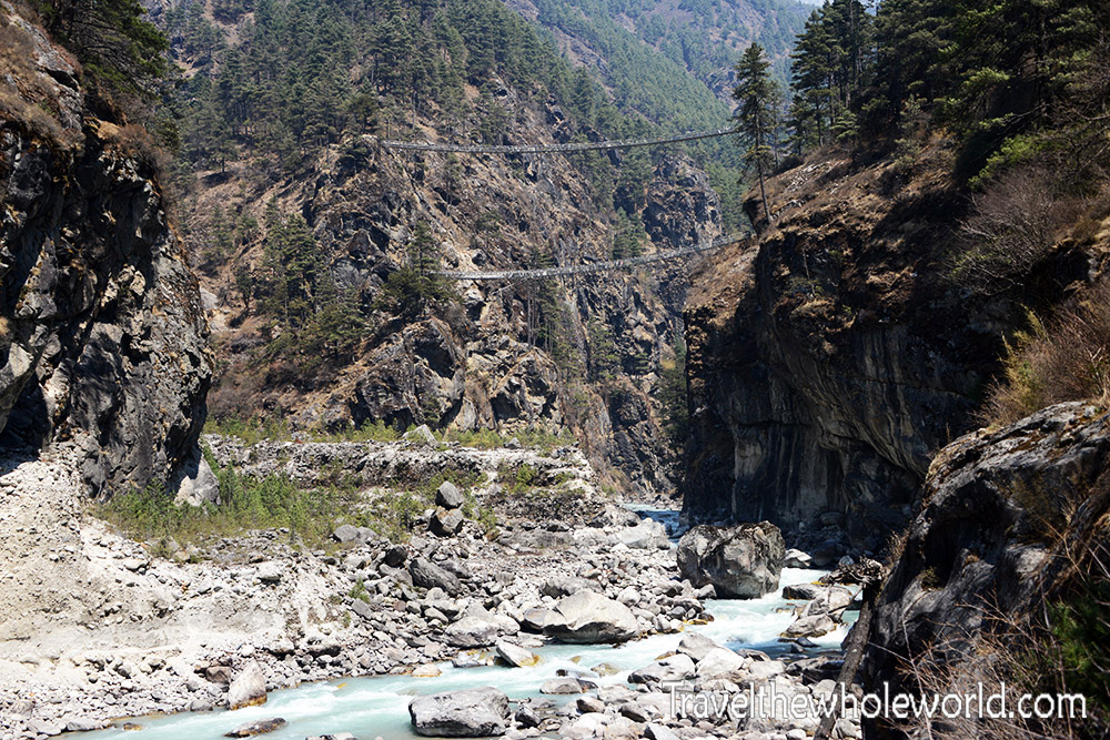
My favorite crossing was this pair of bridges shortly before reaching Namche Bazaar. We crossed using the upper bridge, and shortly afterward I checked my altimeter and saw that we had passed 10,000 feet (3,050 meters).

After hiking through such remote terrain, arriving in Namche Bazaar almost feels like reaching a small city. The town sits around 11,000 feet (3,350 meters) and is one of the major centers of the Khumbu region. You can find restaurants, accommodations, climbing equipment, and just about every supply a trekker or mountaineer might need.
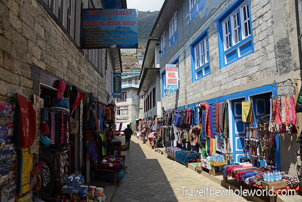
What impressed me most wasn’t Namche’s altitude but its remoteness. There are no roads reaching the town, yet once you’re inside it feels surprisingly developed. Everything sold here has to make its way into the mountains without normal road transportation.
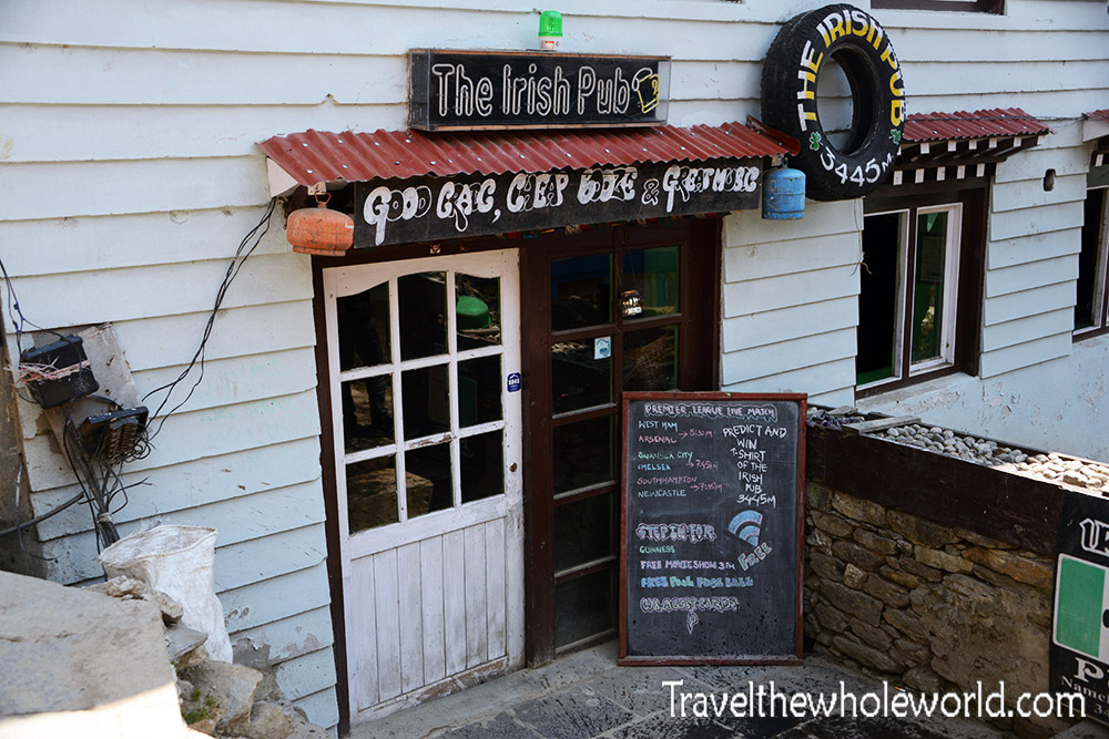
Namche even has an Irish pub! On my way back from Everest I stopped here hoping for a Guinness, only to discover they were out. Considering everything sold in Namche has to be transported into the mountains, you can’t really complain when something isn’t available.
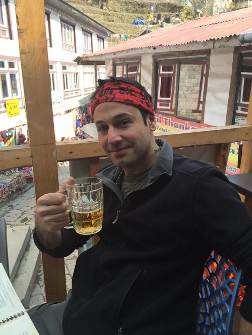
Luckily, another place across the street had Guinness and some great food. Namche was also the last place going up where I had easy access to Wi-Fi and places to charge electronics. Leaving Namche really felt like leaving the big city behind and heading into the high Himalayas.
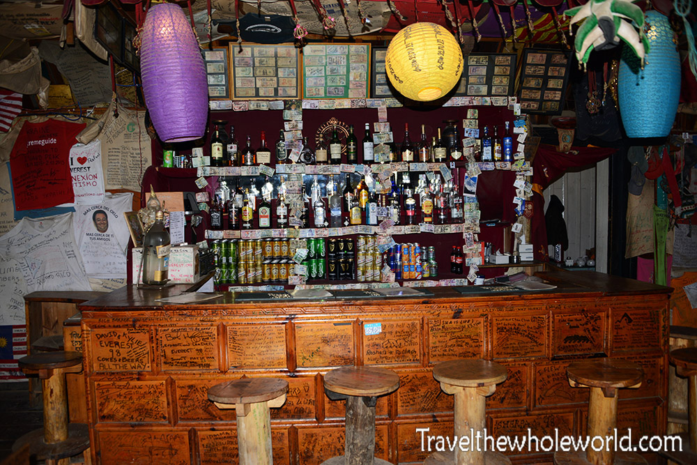
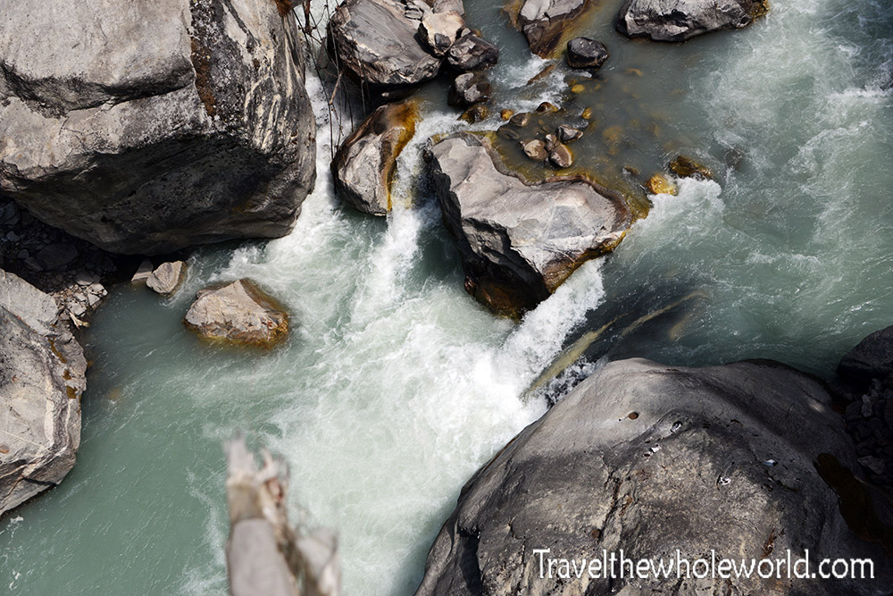
We spent two nights in Namche to acclimatize before continuing higher. From there we headed toward Dingboche at about 14,500 feet (4,400 meters). The route continued across bridges and alongside beautiful mountain rivers as the landscape steadily changed with altitude.
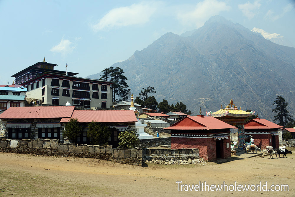
Along the way we stopped in Tengboche, home to one of the most famous Buddhist monasteries in the Khumbu Valley. The monastery has stood here for more than a century and is surrounded by incredible Himalayan scenery.
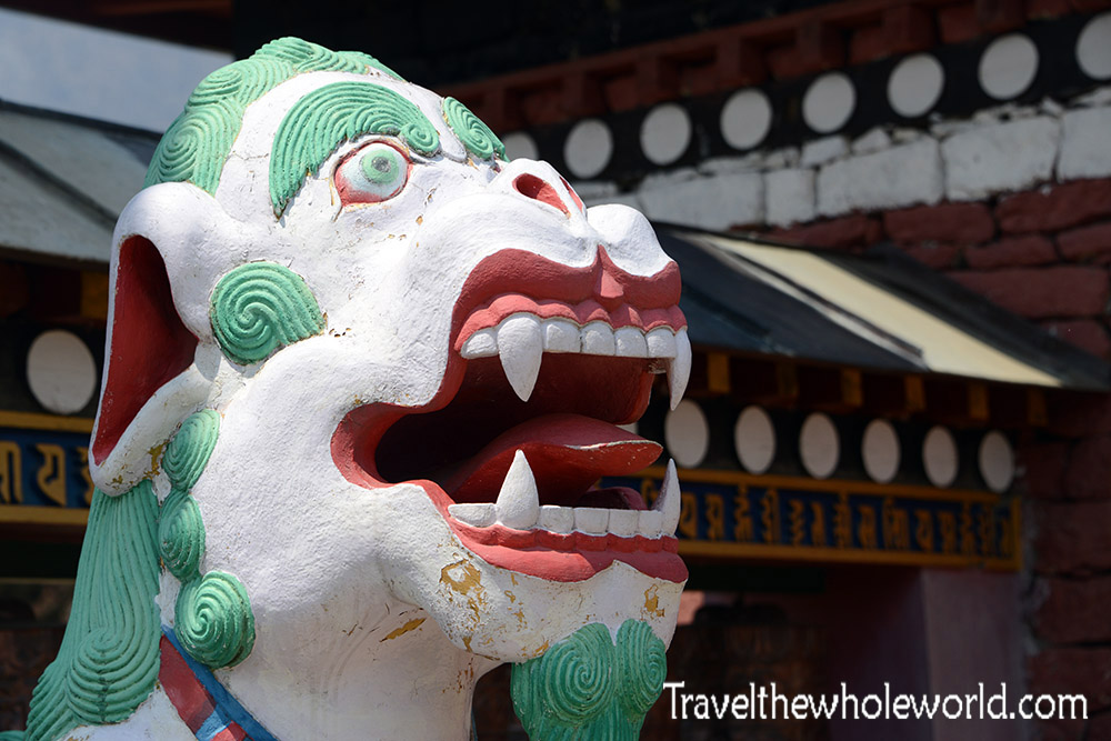
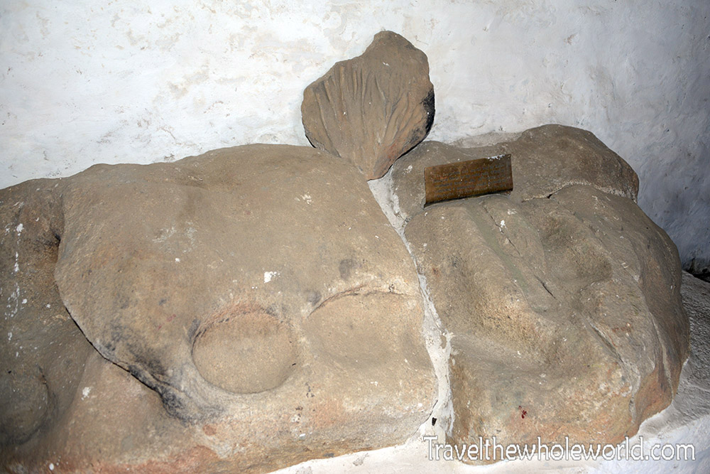
According to local tradition, Lama Sangwa Dorje meditated here centuries ago and left footprints in this rock. The site later became associated with the establishment of Tengboche Monastery. The interior of the monastery is beautiful and can be visited, although photography isn’t allowed inside.
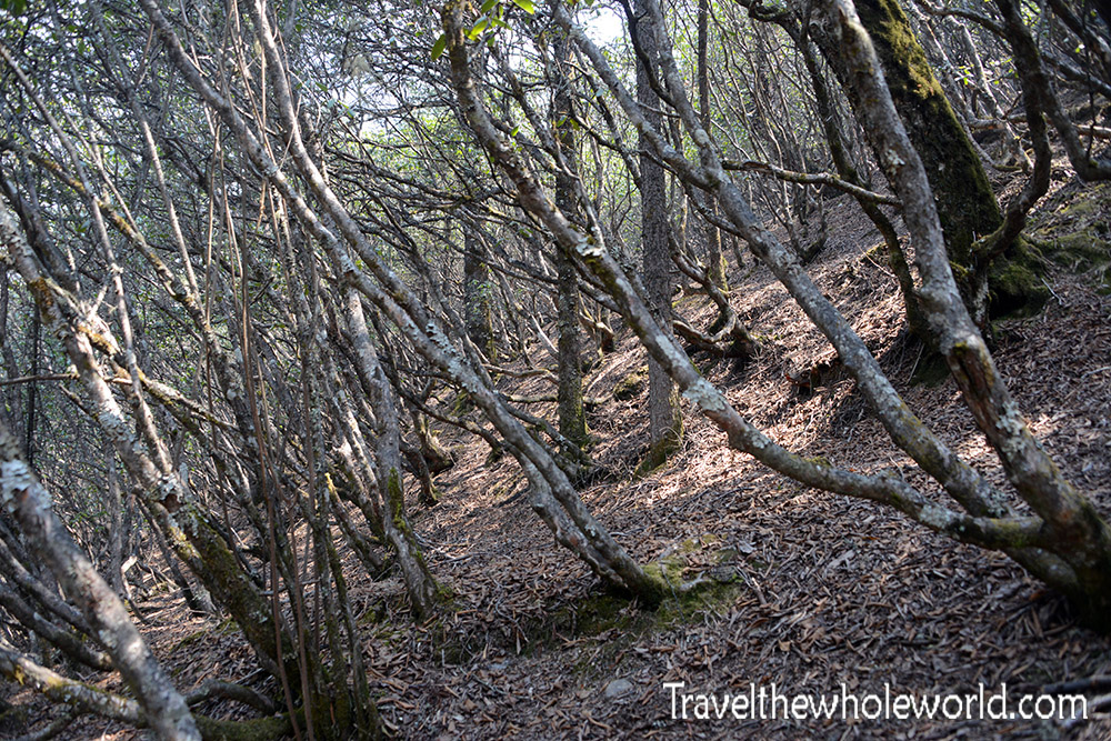
Tengboche sits at roughly 12,700 feet (3,870 meters), and by this point the changing environment was obvious. The lower portions of the trek had been lush and heavily forested, but as I climbed higher the trees became progressively smaller. When I returned down the valley in late May, everything was noticeably greener.
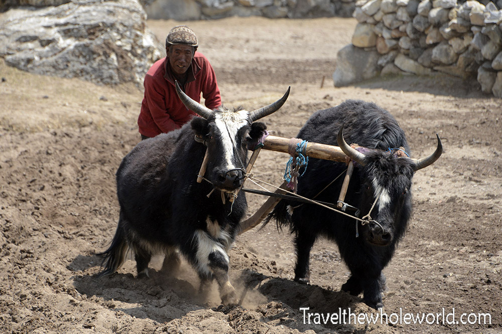
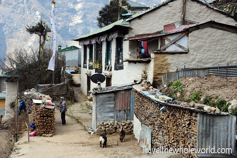
Dingboche felt like one of the last true villages as we continued higher. People still permanently live and work here, while much of the infrastructure farther up the valley exists primarily to support trekkers and climbers traveling toward Everest Base Camp.
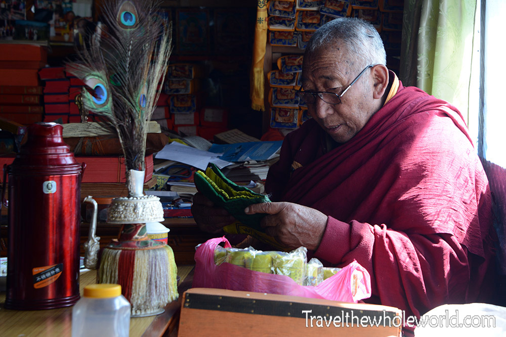
While in Dingboche our expedition received a blessing from a local Buddhist monk. We gave a small donation wrapped in a Buddhist khata, after which the monk placed a small necklace on me, performed a prayer, and briefly touched his forehead to mine.
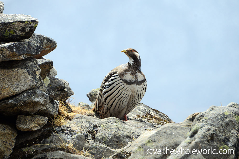
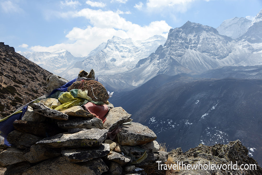
We spent two nights in Dingboche and used one of the days for an acclimatization hike above 16,000 feet (4,900 meters). By this altitude the views across the Himalayas were absolutely incredible.
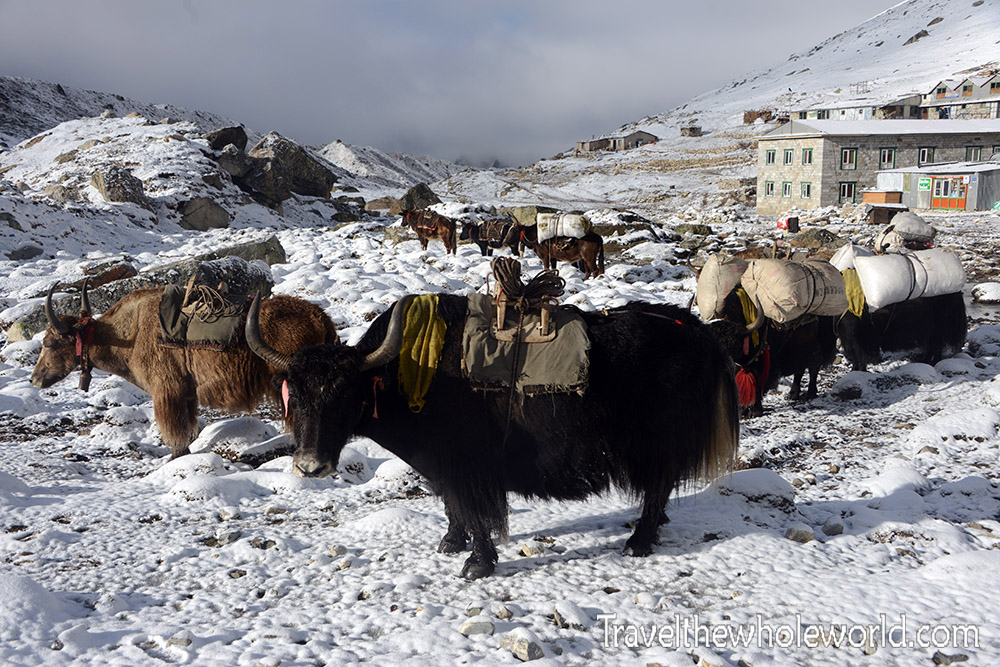
From Dingboche we continued to Lobuche, our final major stop before Everest Base Camp. By now we were high enough to encounter snow and true Himalayan yaks carrying equipment along the trail. At these elevations the landscape had changed completely from the warm, green environment where the trek began.
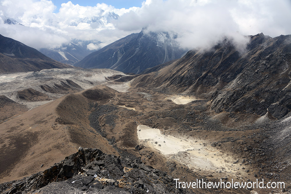
I eventually spent quite a bit of time in Lobuche. During the Everest expedition we repeatedly climbed higher to acclimatize and then descended into the valley to recover while waiting for better weather. At one point I spent more than a week here, mostly relaxing in the lodge and occasionally hiking and scrambling around the surrounding mountains.
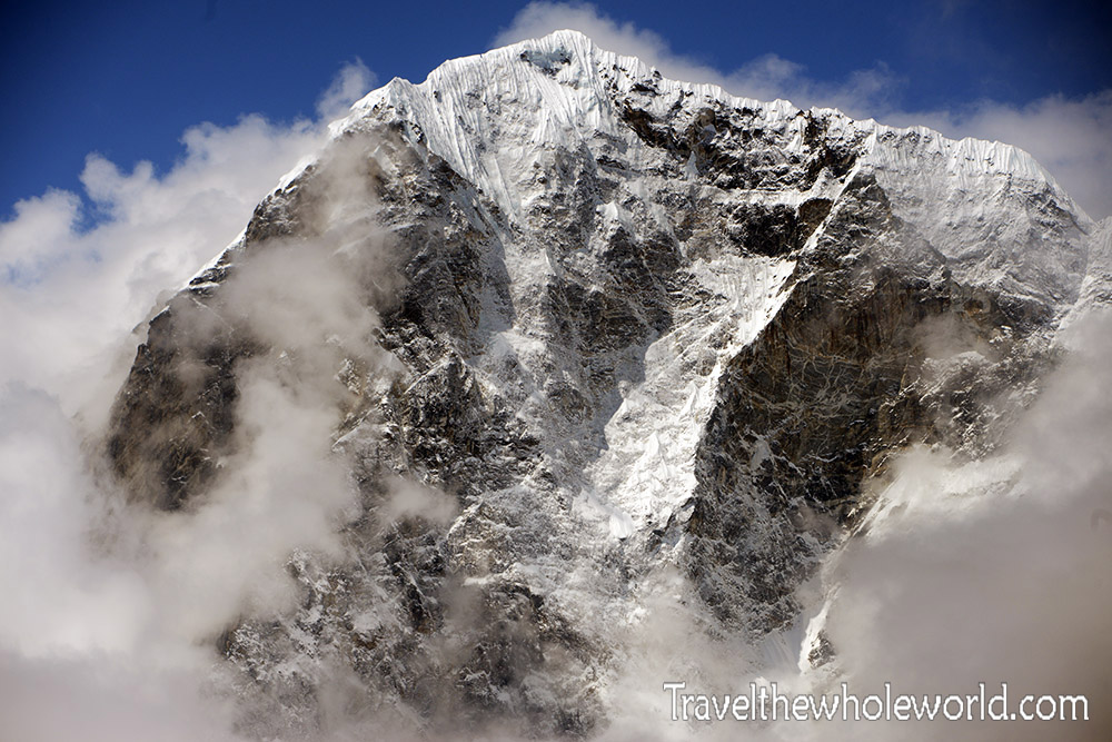
Above 16,000 feet, or nearly 5,000 meters, the scale of the Himalayas becomes difficult to describe. Mountains higher than 20,000 feet (6,000 meters) surround the valley, and enormous peaks seem to rise in every direction. The mountain above is Cholatse, one of the many dramatic peaks visible around Lobuche.
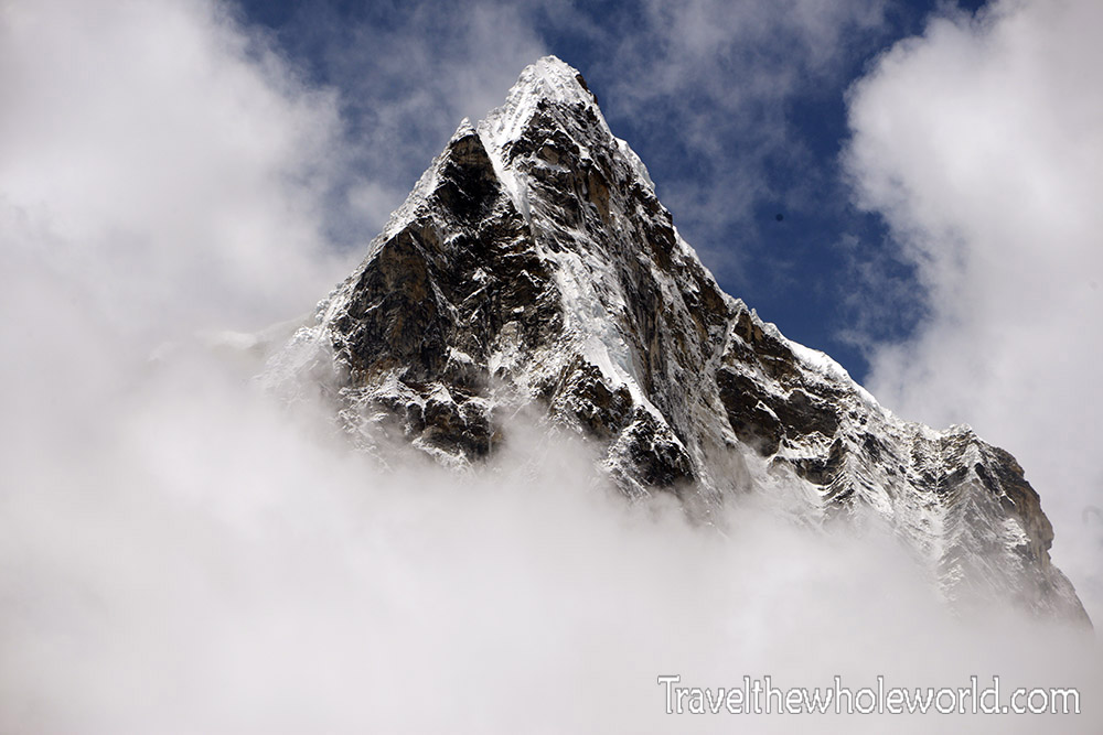
From Lobuche, Everest Base Camp was only another four or five hours away. By this point the villages, forests, and lower valleys were behind us. Ahead was the Khumbu Glacier, Everest Base Camp, and the beginning of the actual climb of Mount Everest.
Continue to Everest Base Camp
Explore More of Nepal
Khumbu Valley – Everest Base Camp Trek • Kathmandu