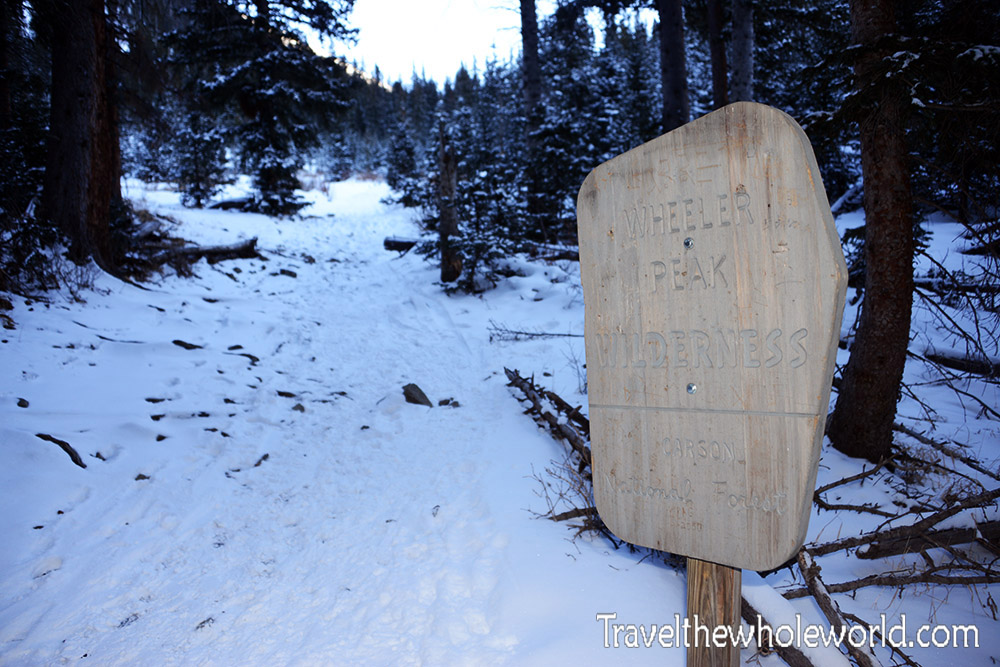
As part of my goal to reach the highest point in every state, New Mexico became my first high point in the Southwest. Wheeler Peak rises to 13,161 feet (4,011 meters), making it one of the higher state summits in the country. There are several routes to the top, and I chose the Williams Lake Trail. The normal trailhead is reached by road, but fresh snow made me nervous about taking my rental car any farther, so I parked near the Taos Ski Valley and added about two extra miles to the hike.
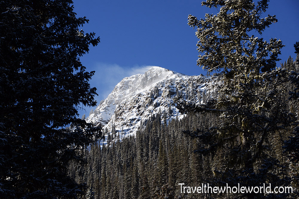
Soon after I started hiking I could already see some dramatic peaks rising above the Sangre de Cristo Mountains. I’m still not sure which mountain this is, but honestly I thought it looked considerably more impressive than Wheeler Peak itself!
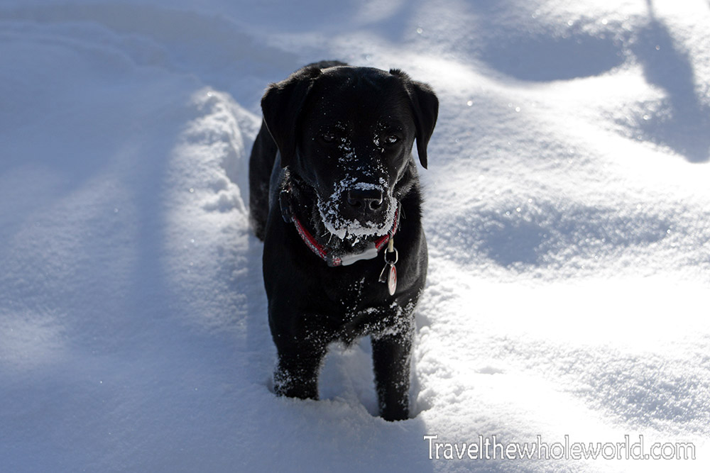
I happened to start hiking at about the same time as a local man and his dog. He planned to hike only as far as Williams Lake and gave me some friendly advice about Wheeler Peak along the way. He was also clearly worried about me continuing alone and repeatedly mentioned rescues that had taken place in the area. Judging by the way he described the mountain, you might have thought I was preparing to attempt K2. I didn’t bother mentioning that I had climbed Everest the previous spring. He seemed genuinely concerned and probably would have been happier if I had turned around with him. :contentReference[oaicite:0]{index=0}
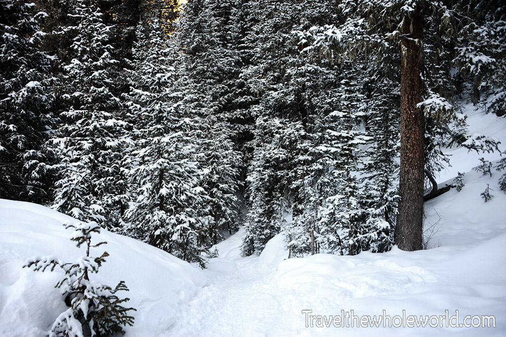
The route starts with a relatively gentle climb through evergreen forest. At the time of my visit, this part of New Mexico had experienced an unusually dry winter. A few inches of snow had fallen the night before, but otherwise snow levels were much lower than normal. Around 11,000 feet (3,350 meters), the Wheeler Peak route splits away from the trail toward Williams Lake. This is where I left the man and his dog behind, which probably confirmed his belief that I only had a few hours left to live.
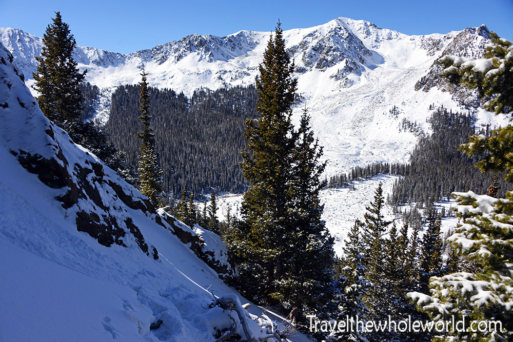
After the trail split, the route continued upward at a moderate incline before becoming noticeably steeper around 11,500 feet (3,500 meters). Switchbacks made the climbing much easier, although they also made it feel like I was hiking three times farther than necessary.
At one point I decided I was going to be awesome and cut across a few switchbacks where the terrain didn’t look too bad. That worked briefly. Then the slope became much steeper and I suddenly found myself pushing through wind-loaded snow that was nearly waist deep. The views were getting better, but eventually I admitted defeat and worked my way back toward the actual trail.
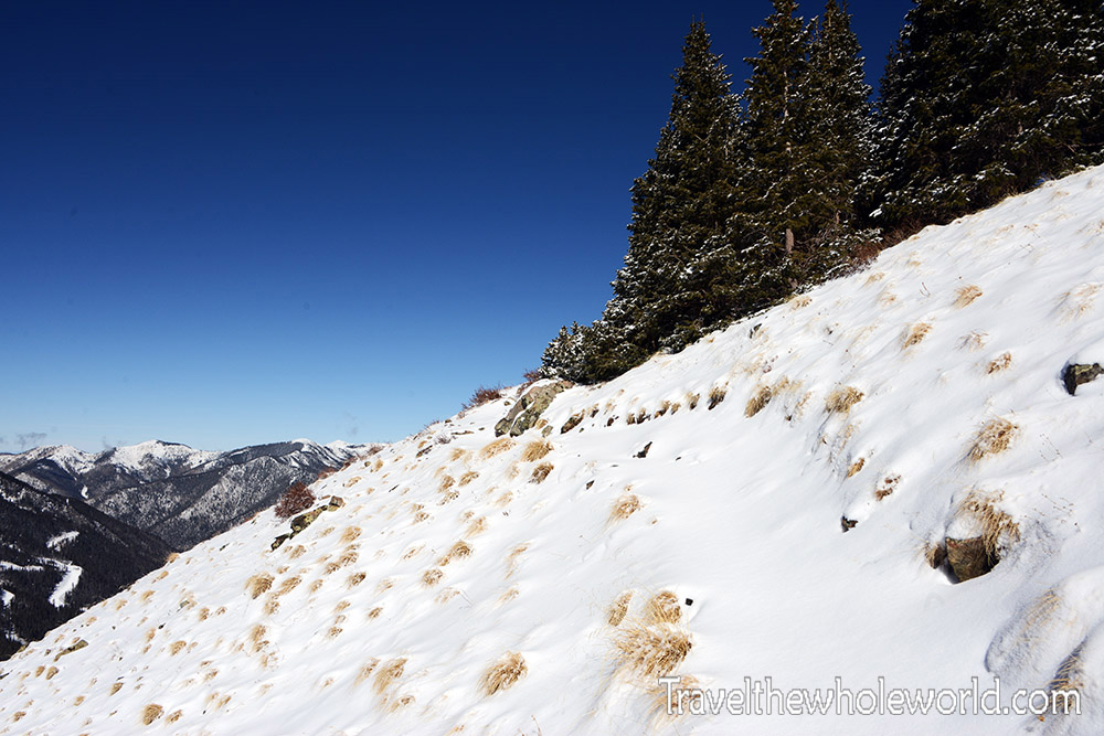
The terrain above shows why following the switchbacks was considerably easier. What looks frustratingly indirect on a map suddenly makes a lot more sense when the alternative involves climbing straight through deep snow on a steep slope.
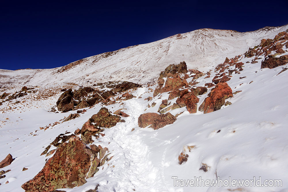
By around 12,000 feet (3,650 meters), I was finally above the trees and into the alpine environment. The views opened up dramatically, although Wheeler’s summit itself still didn’t look particularly impressive from this angle.
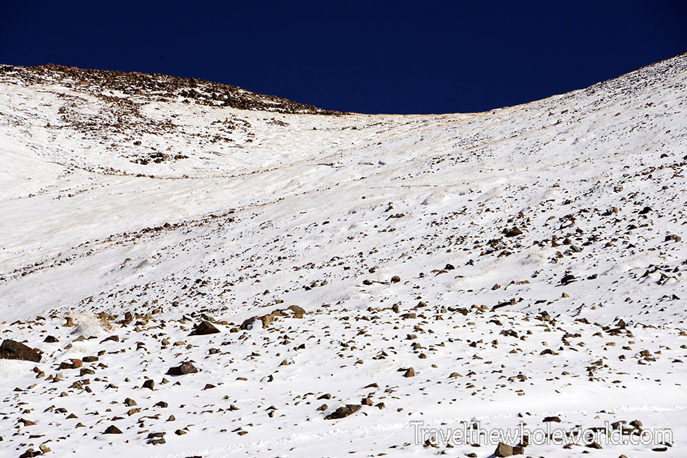
The saddle west of the summit looks deceptively easy to reach. From below it seems like you should be able to hike almost directly toward it, but the slope is considerably steeper than it appears. At that point I wasn’t sure what would be worse: the physical punishment of climbing straight uphill or the psychological punishment of watching the switchbacks triple the apparent distance.
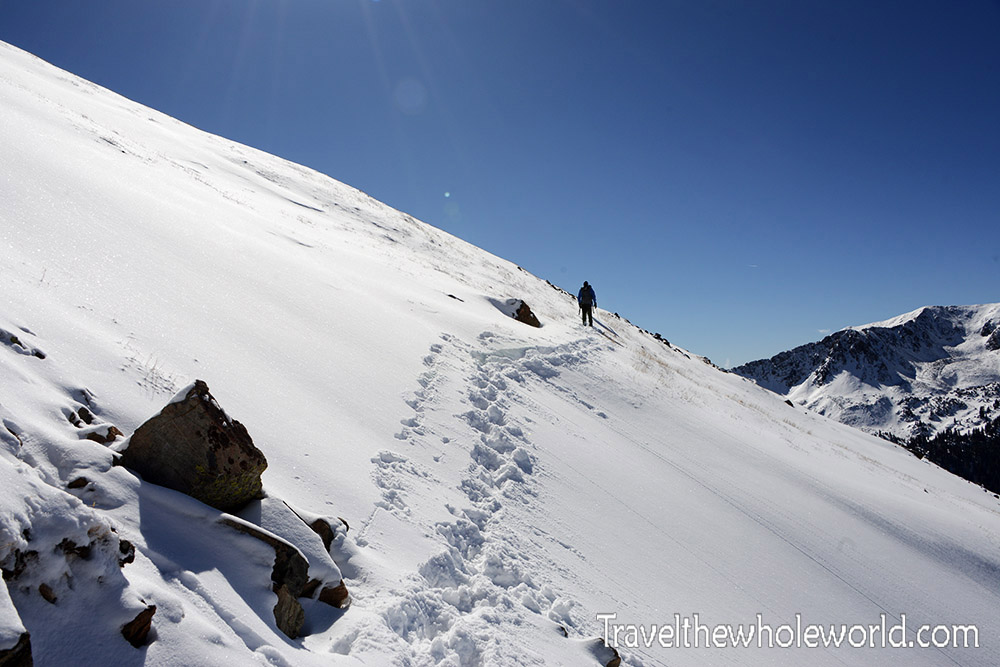
I had been at sea level only the day before, so by now I was definitely beginning to feel the altitude. Going from essentially zero elevation to around 4,000 meters in such a short time is always noticeable, and in my case the switchbacks were probably doing me a favor. I eventually caught up with a few other climbers and photographed them traversing one of the final switchbacks.
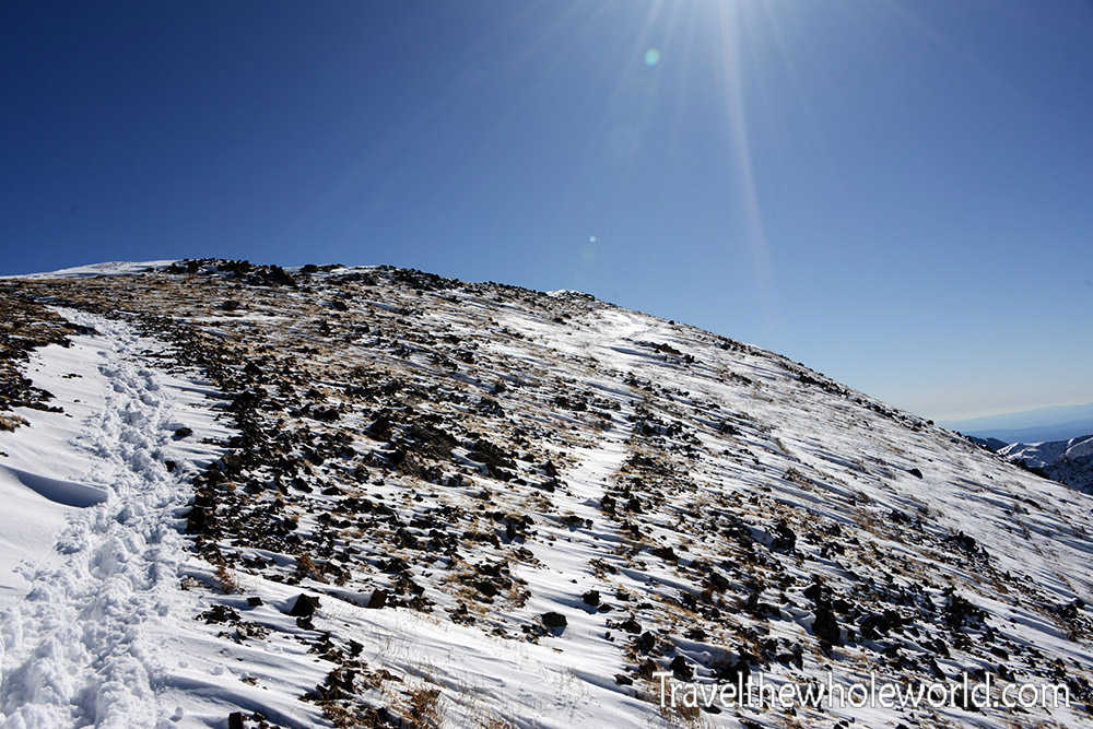
Once I reached the top of the saddle, the character of the climb changed completely. From there it was a relatively short walk along the ridge toward the summit with very little additional elevation gain. The final approach almost looked flat compared with the climbing below.
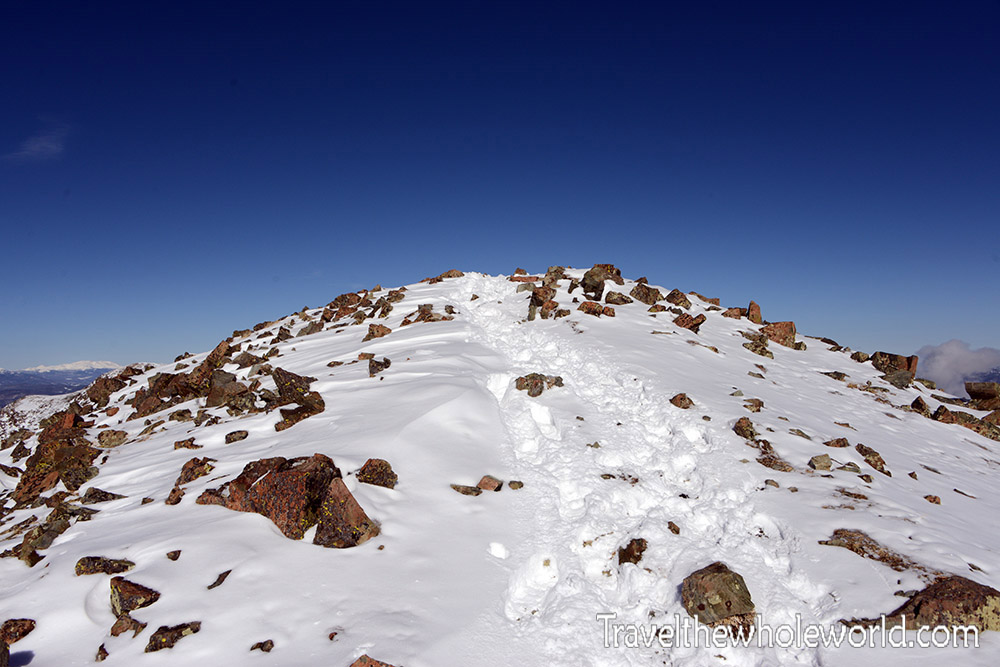
Of course, Wheeler Peak still had one final trick. The bump above is a false summit sitting immediately before the real one. Fortunately, this wasn’t one of those cruel false summits hiding another hour of climbing. The actual top was only a few minutes farther.
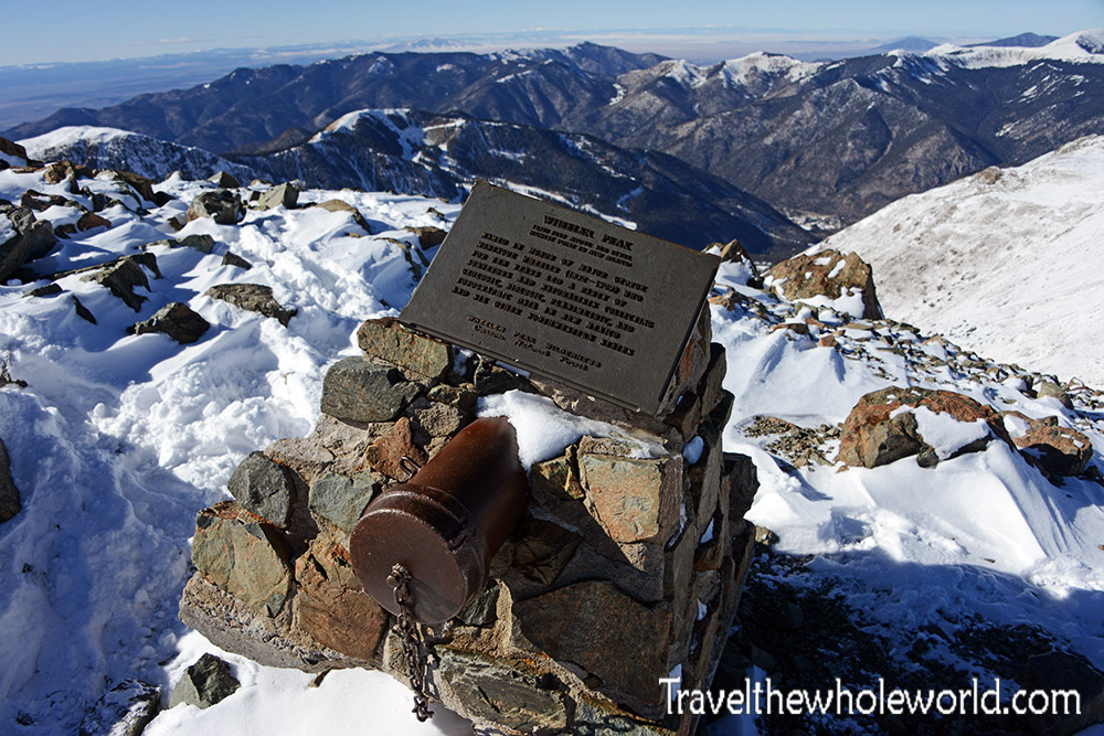
A few minutes later I reached the highest point in New Mexico. I had come here for two reasons. The obvious one was to knock another state high point off my list. The second was to force myself back into shape.
For some reason, after climbing Mt. Everest the previous spring, I had very little motivation to stay active. After spending months in what had probably been the best shape of my life, I went through roughly six months of being surprisingly lazy and watched my fitness disappear. That was pretty depressing. Climbing a 4,000-meter mountain seemed like a good way to reset things and start moving back toward climbing regularly again.
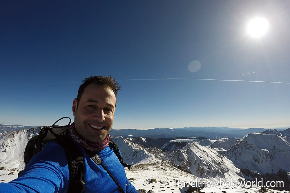
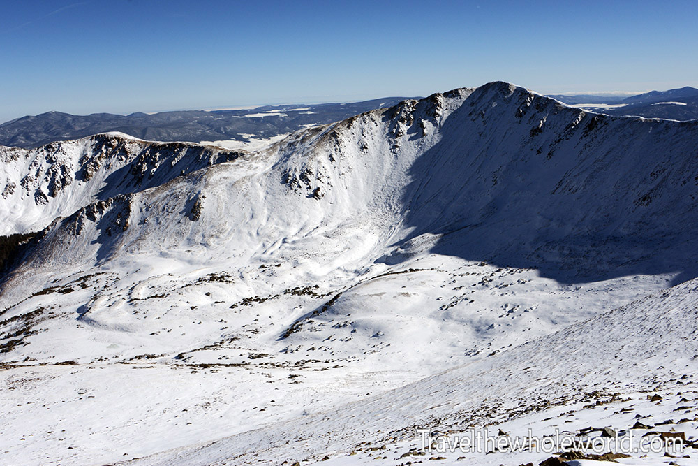
There’s always another reason for climbing mountains: the views. From the summit I could see across the Sangre de Cristo Mountains in every direction. The photo above looks toward the opposite side of Wheeler from the route I climbed.
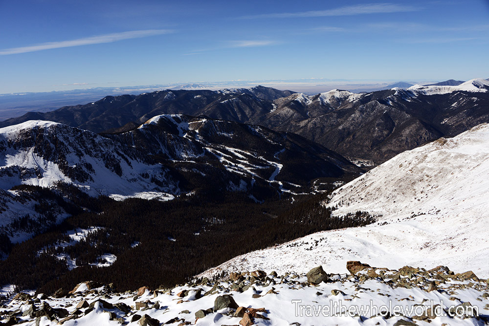
The final photo shows much of my route back toward Taos. From the summit I descended the ridge, followed the switchbacks back into the forest, and eventually continued down the valley toward the ski area.
Wheeler Peak finally gave me my first state high point in the Southwest. It wasn’t an especially technical climb, but winter conditions, starting almost directly from sea level the day before, and adding extra mileage from the road made it a great return to the mountains. At the time I wasn’t sure which state high point would come next, although there was already plenty of talk among my friends about Borah Peak in Idaho.