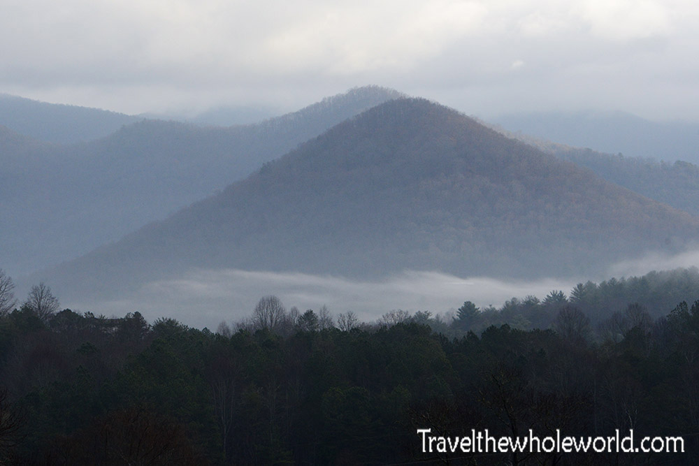
A hike up Brasstown Bald was in my sights because it’s the highest peak in Georgia. To be honest, I didn’t have high expectations for this hike, but it turned out to be pretty enjoyable and a decent challenge! I arrived early in the morning when low clouds were still hanging in the valleys. This little mountain above wasn’t directly along the hike but was still part of the surrounding Brasstown Wilderness.
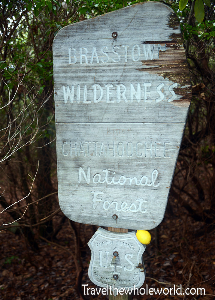
The Brasstown Wilderness is one of several wilderness areas within the Chattahoochee-Oconee National Forest. The wilderness designation provides these areas with additional protection and helps preserve their natural character. Black bears, deer, and many smaller animals live throughout these mountains, along with a variety of birds and other wildlife.
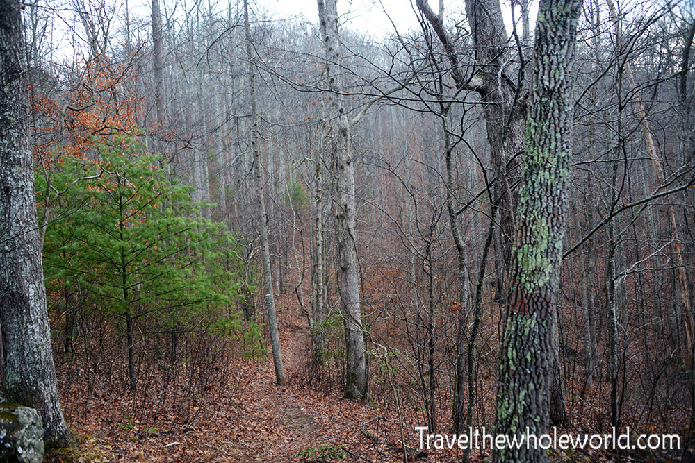
I always prefer to hike when there are leaves on the trees or at least snow on the ground. I had neither on this trip, so I expected the entire hike to look like this above: nothing but bare trees and no wildlife. The no-wildlife part turned out to be pretty accurate, but later in the hike there was at least a nice change of scenery.
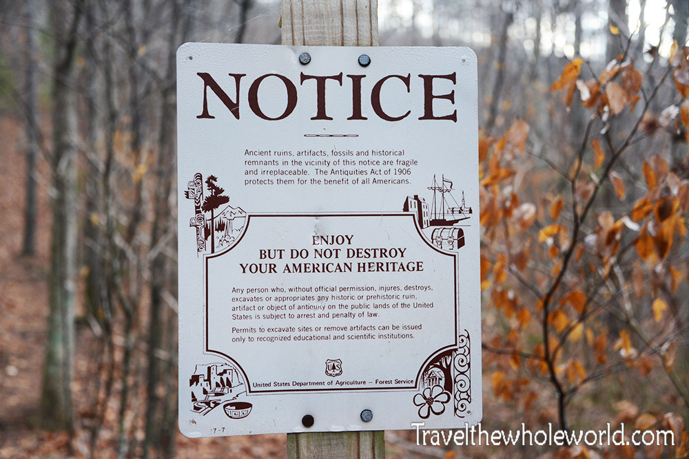
The sign above warns against excavating or damaging archaeological sites. The area around Brasstown Bald has a long Native American history, and I had hoped to come across some evidence of it during my hike. I didn’t do a very good job of seeking any sites out and never came across anything myself. Some locals told me that archaeological locations in the area aren’t always marked or publicized in order to help preserve them. I still wish I had come across something, but this certainly made me feel better about missing them.
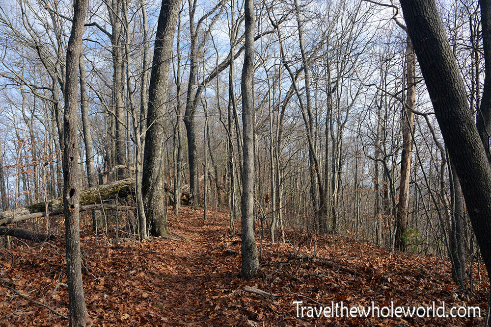
I did an 11-mile (18-kilometer) round-trip hike along the Arkaquah Trail. It starts at around 2,200 feet (670 meters) and quickly climbs toward Locust Log Ridge at around 3,600 feet (1,100 meters). The steep ascent is a combination of direct trail and some switchbacks toward the top. Just the weekend before Brasstown Bald, I had done Vermont’s highest peak, Mt. Mansfield, along the Laura Cowles Trail. That was seriously twice as steep as Brasstown Bald’s Arkaquah Trail! Combined with deep snow and subzero temperatures, this hike was much easier. I didn’t realize it until I got to Georgia, but my lower legs were ridiculously sore from the previous hike and made the uphill sections a bit annoying. I even tried stepping sideways and backwards for a while because they hurt that badly. Once I got to the top of the ridge, they didn’t really bother me anymore.
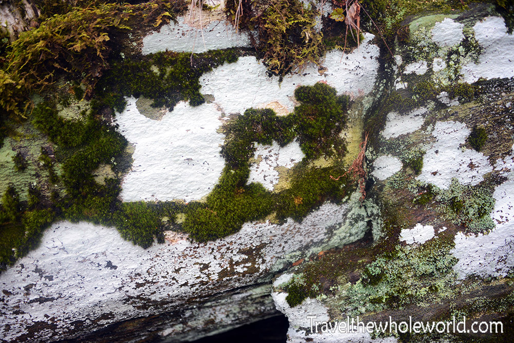
When the entire forest is nothing but bare trees, I usually try to get decent photos by focusing on the little things. These moss-covered rocks had so much white lichen on them that I seriously thought someone had painted them at first. As it turns out, it’s all natural!
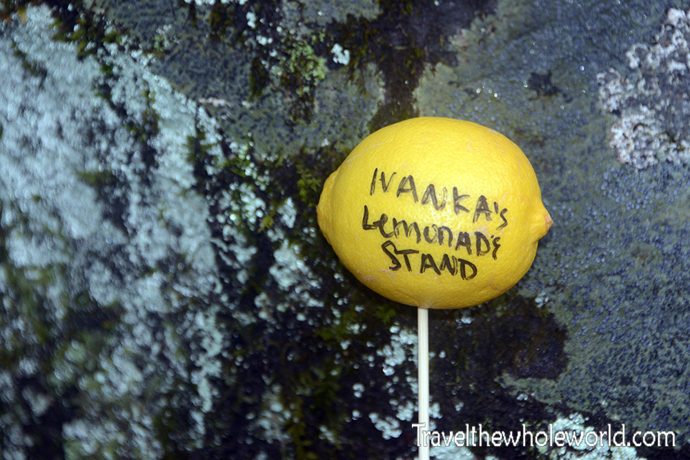
You may have noticed in my photo of the Brasstown Bald sign that there was a lemon wedged into the lower right corner. There was a web address written on it, and I didn’t think much of it at the time. As I hiked along, I saw several other lemons along the trail like this one above. I even eventually came across the marker that someone had apparently dropped. Later, after my hike, I attempted to visit the web address out of curiosity and found that it led to a disgusting website that was thankfully blocked by the coffee shop. As it turns out, this was apparently a trick designed to get curious people to visit the site. I Photoshopped the address out of the first lemon so I’m not helping their cause.
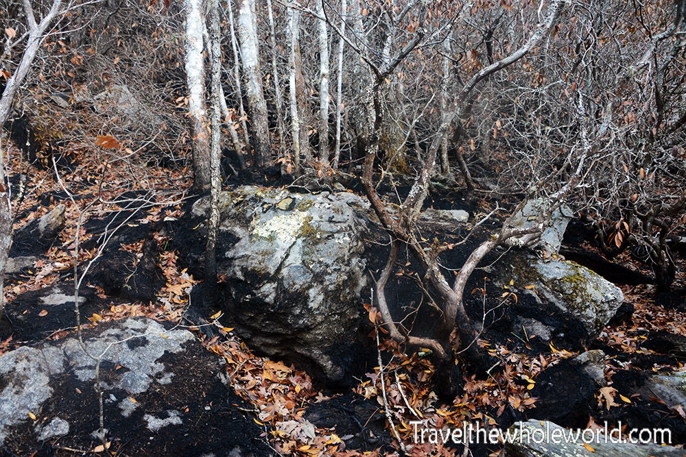
Aside from the lemons on the trail, I found this section interesting. There had clearly been a forest fire. The ground was burned lower on the mountain, and it looked like the flames had moved uphill through the forest. The blackened ground and vegetation made the damage look relatively recent when I passed through.
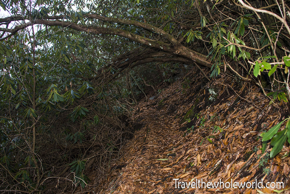
Shortly after the burned area, I came across my favorite part of the entire trail: the rainforest! Of course, it’s not really a rainforest, but after hiking through bare winter trees and suddenly coming across this wet, green patch, it sure felt like one. I called the area above the entrance to the rainforest.
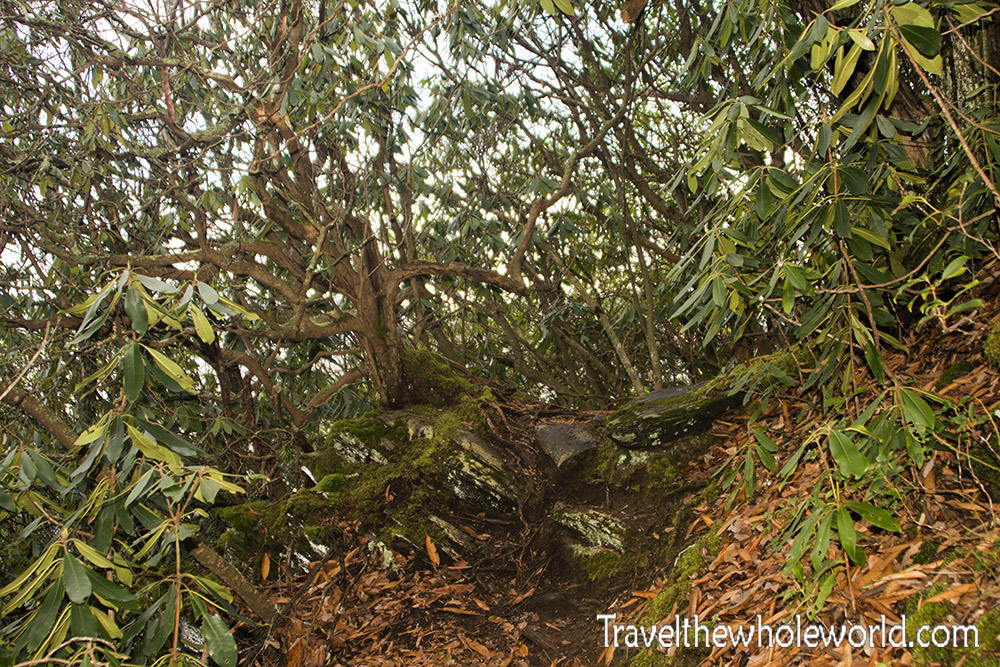
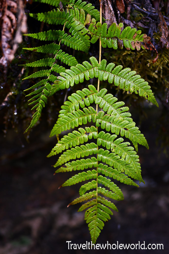
Here’s one of the dark green ferns I saw along the trail. There were several places with large rocks where water ran over them and kept everything green throughout the winter. Keep in mind this was January, so it was great to feel like I had suddenly stepped out of winter.
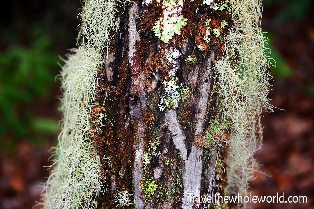
The “rainforest” didn’t last as long as I would have liked, but I probably had a good 15 minutes of hiking through it. This photo above shows one of the moss-covered trees there. This section really was much wetter than the earlier parts of the trail, and I wondered if the terrain or direction of the slope allowed it to retain more moisture.
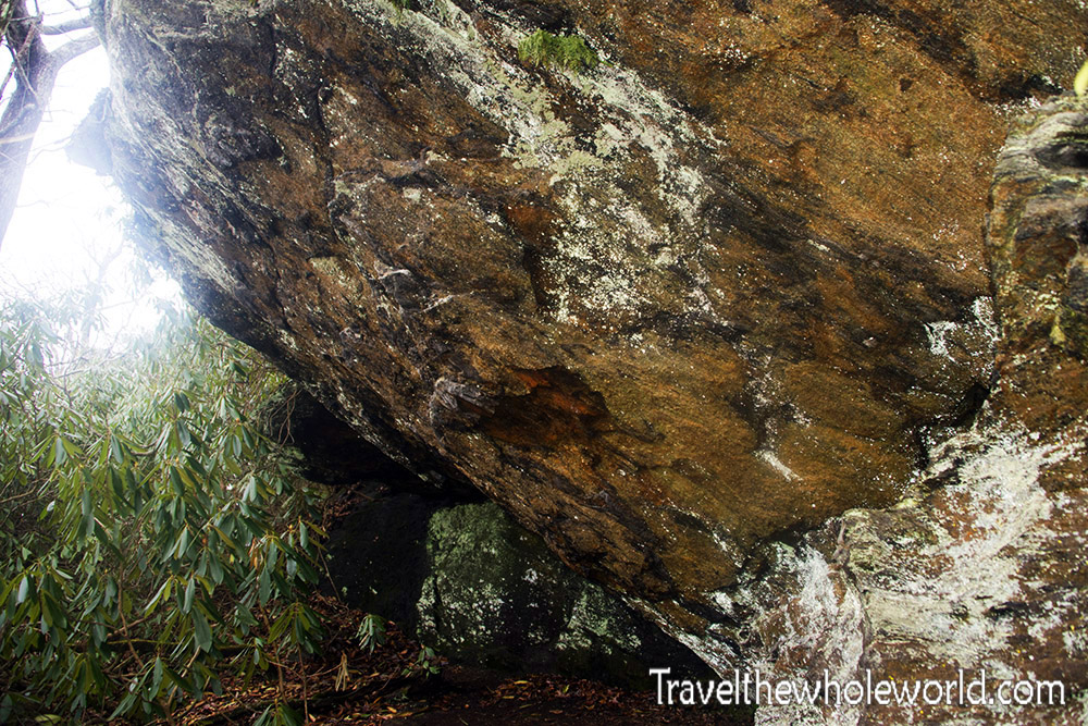
Also in the “rainforest” area was this giant rock. The thing was beautiful because of all the different colors of lichen and moss growing across it. It even had a few ferns hanging down here and there.
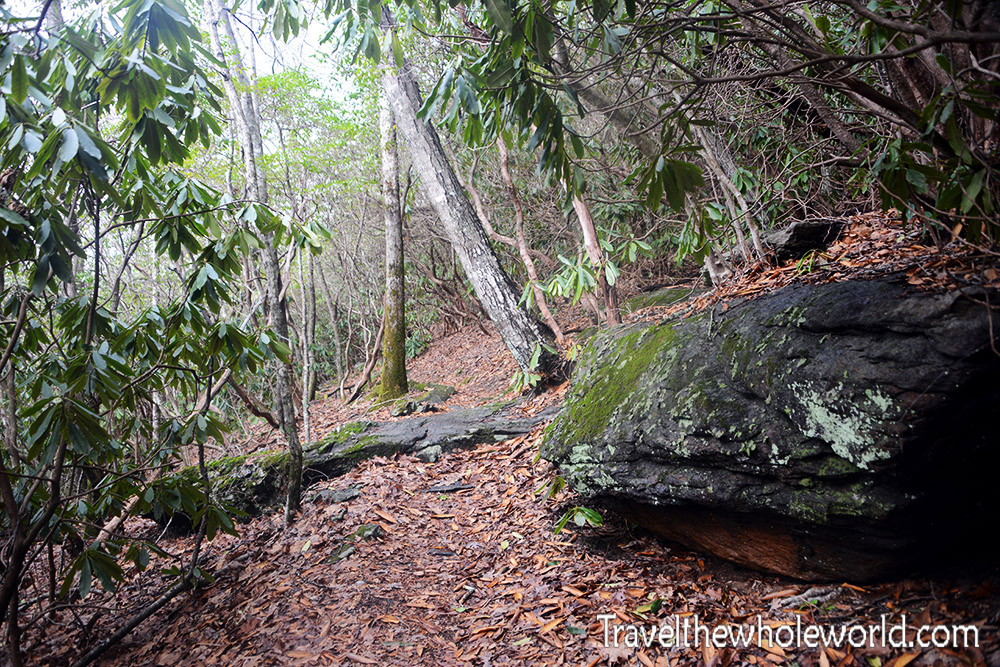
Eventually I left what I called the rainforest and went back to a more typical trail. Actually, this section was kind of a combination of the different environments I had already hiked through. Instead of everything being green and wet, it was drier but still had some green plants. By now I had hiked close to five miles and was pretty close to the summit. The trail map showed the route following a ridge before making a large U-turn near the summit as it met up with a road. I didn’t want to walk along a road, so I thought I’d be smart and go off trail and follow the ridge straight toward the top. At first it was easy, but the higher I climbed, the thicker the vegetation became. I even had to work my way around some giant rocks and got a bit muddy. It wasn’t anything serious and was probably still faster than following the normal route. Definitely more interesting!
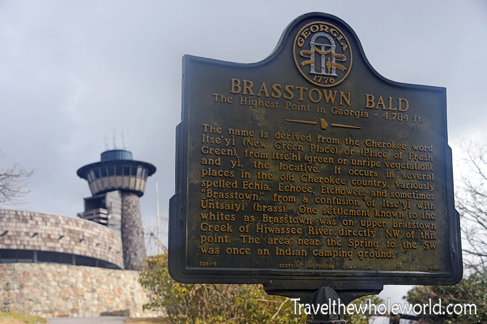
A few minutes after leaving the off-trail route I had picked, I ended up on the road. As it turns out, there is a small paved trail that leads to the summit, so you don’t actually have to follow the road after all. I went up a short distance and arrived at this sign marking the highest point in Georgia. The name Brasstown comes from an English translation of a Cherokee place name, although the exact story behind how the modern name developed is a little more complicated than I had realized at the time.
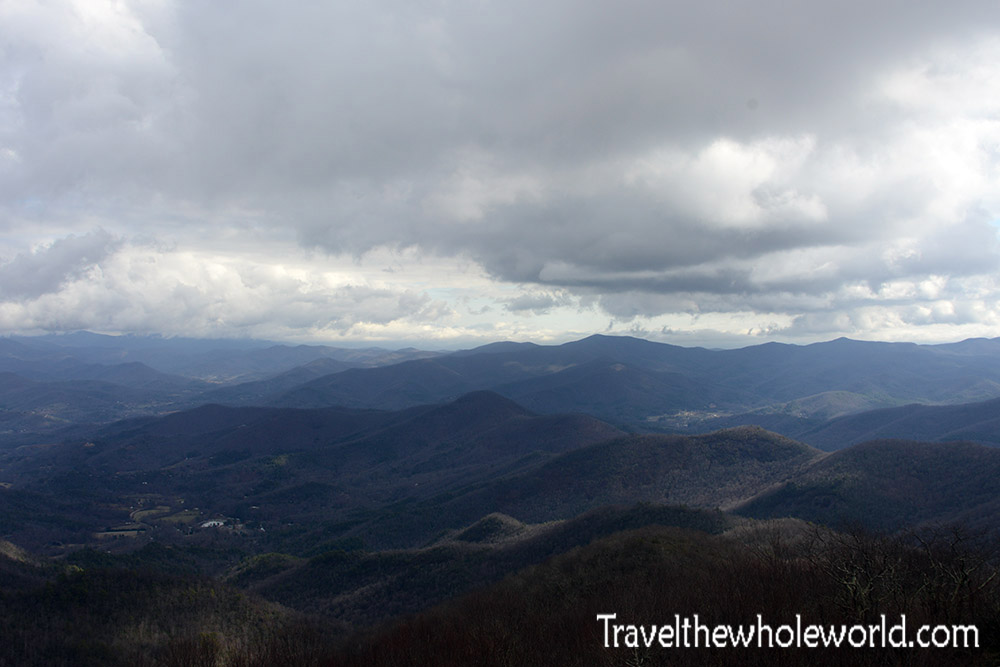
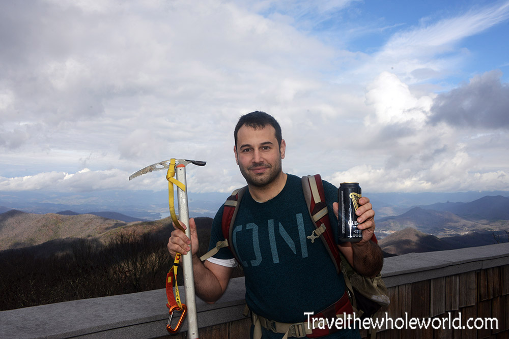
The view from Brasstown Bald had lots of potential, but being in the middle of January without any snow, the conditions weren’t exactly at their best. At 4,784 feet (1,458 meters), it’s still a respectable elevation and provides some incredible views across the southern Appalachians. I’ve seen some beautiful summer photos and even a few winter photos with snow, so this can definitely be one of the best views in the state. Below is me standing at the top of Georgia. Since I hit the reset button on visiting all 50 state high points, this was number three for me! Forty-seven to go.