Gannett Peak is the highest mountain in Wyoming and, in my opinion, likely one of the most difficult state high points in the lower 48 unless you start including highly technical routes. I had previously read that Granite Peak in Montana was more difficult than Gannett, and having climbed that two years earlier, I figured I knew what I was up against.
I’ll say this was definitely more of a challenge than I expected, but it was absolutely wonderful to be back in the wilderness with a backpack and
ice ax in hand. No doubt part of the difficulty came from carrying almost 50 pounds of gear at 10,000 feet after flying in from sea level, but either way, this is a real mountain that packs a lot of adventure!
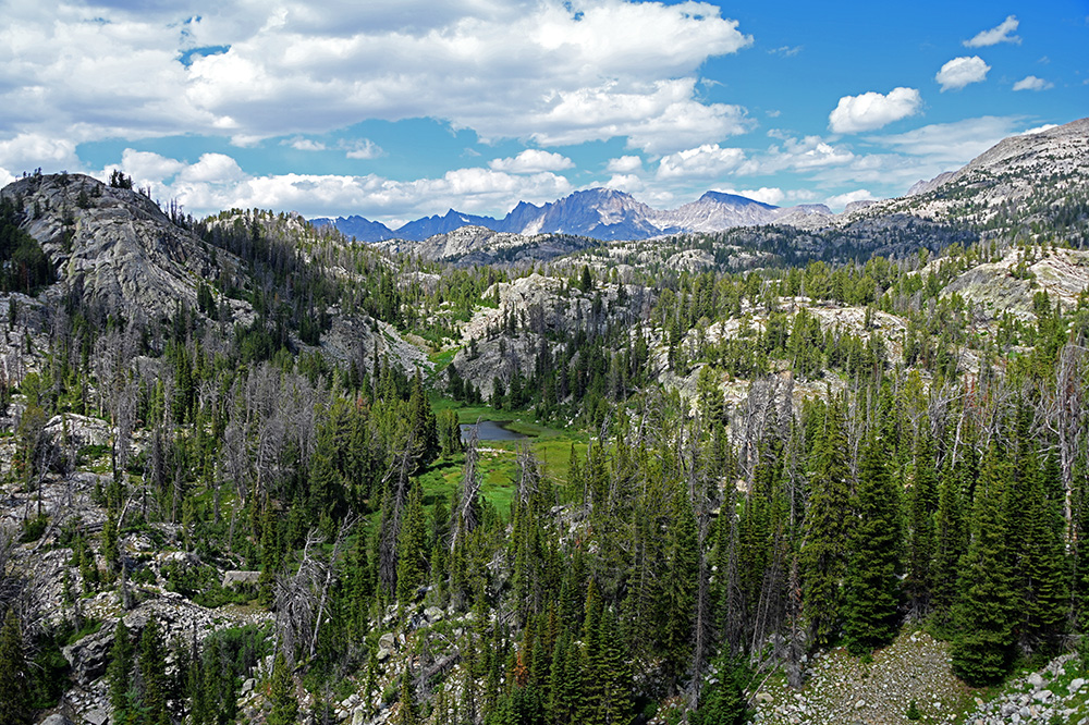
Approaching Gannett Peak in the Wind River Mountains
The Approach Through Titcomb Basin
There are several approaches to Gannett, but Titcomb Basin and the Glacier Trail are two of the most common. I’d heard the Glacier Trail was easier because, although it’s several miles longer each way, you avoid the horrible 2,200-foot climb over Bonney Pass that comes with the Titcomb Basin route.
I still chose Titcomb Basin, mostly because the route is supposed to be much more scenic. The scenery started almost immediately—and, by the way, the trailhead is already around 10,000 feet (3,000 meters)!
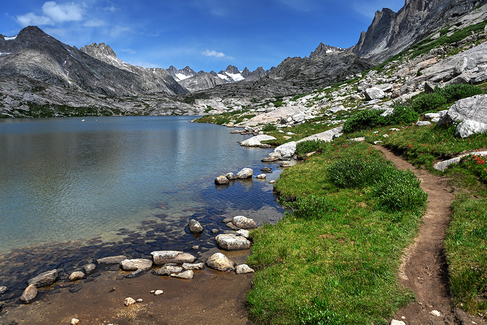
Entering Titcomb Basin
We took three days to approach Gannett, mostly because we had flown in from sea level. Carrying almost 50 pounds of gear at 10,000 feet without being acclimatized definitely made everything feel harder.
On our first day, we hiked more than ten miles and made it roughly halfway to the mountain before camping at 10,300 feet. The second day we covered almost another ten miles while gaining only a few hundred feet in elevation. By then we had reached Titcomb Basin, with beautiful alpine lakes surrounded by mountain flowers and increasingly intimidating peaks.
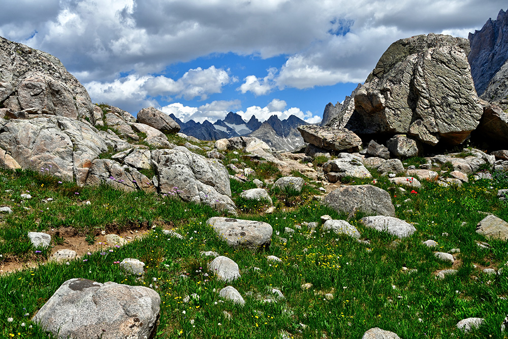
Hiking Through Titcomb Basin
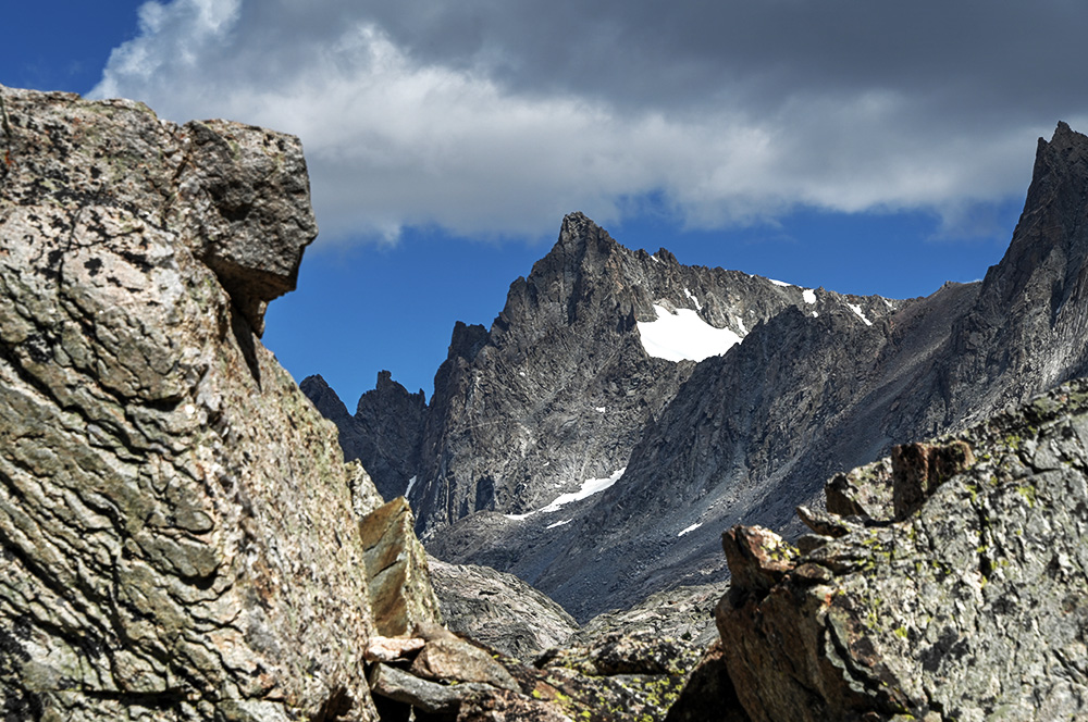
The Peaks Above Titcomb Basin
I should mention that one of the cruxes of this climb had absolutely nothing to do with climbing: the mosquitos.
At our first camp, if you stood still for about sixty seconds, you would, without exaggeration, have about fifty mosquitos surrounding you. My friend and I eventually developed a strategy where one of us would stand about a hundred feet from the tent and then sprint over and dive inside as quickly as possible to keep them out.
On the second day, the terrain changed from woodland to alpine lakes with increasingly dramatic mountains in the background. Our original plan was to climb the infamous Bonney Pass and camp on the other side, but carrying 50 pounds up and over a pass just below 13,000 feet (4,000 meters) on our second day at altitude suddenly seemed like a bad idea.
Instead, we camped about a mile before the pass. We were only a few hundred feet higher than the night before, but thankfully the mosquitos were drastically better!
Bonney Pass
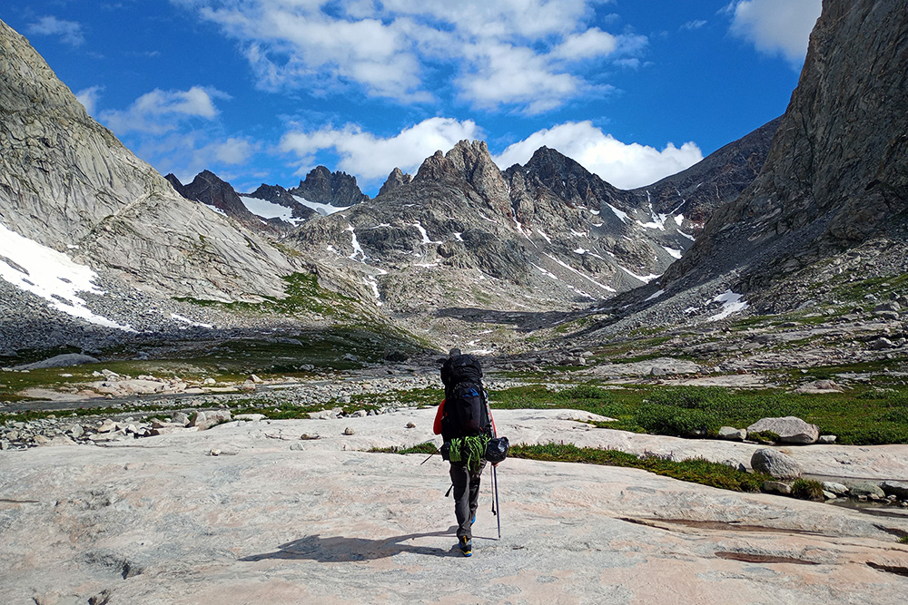
Approaching Bonney Pass
On the morning of the third day, we expected a relatively easy day: climb Bonney Pass, descend the other side, and establish camp closer to Gannett.
The elevation gain was more than 2,000 feet (600 meters), but since we were already fairly close to the base of the pass, we hoped it wouldn’t be too difficult. The photo above is me shortly after leaving camp that morning. As we approached the pass, the hiking gradually turned into some easy scrambling.
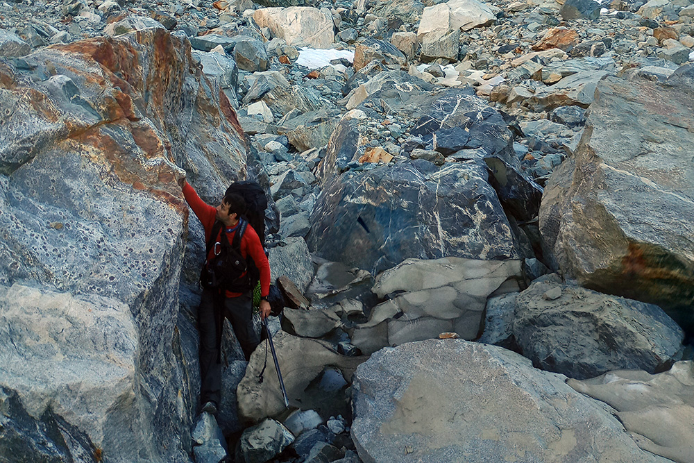
Scrambling Toward Bonney Pass
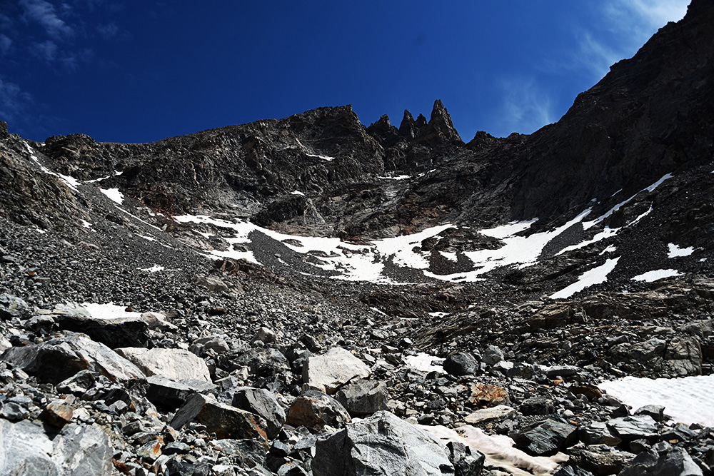
The End of Titcomb Basin Below Bonney Pass
From a distance, Bonney Pass looks intimidating, but once we arrived it was nothing crazy. In the photo above, you can see the end of Titcomb Basin with the slope toward Bonney Pass rising on the left.
The day before, we’d met a man coming down from Gannett who told us Bonney Pass was harder than the summit because of all the loose scree. That actually motivated us as we climbed higher with all our gear, believing this would be the hardest part of the trip.
The higher we went, the steeper the terrain became, but we made it to the top in good time.
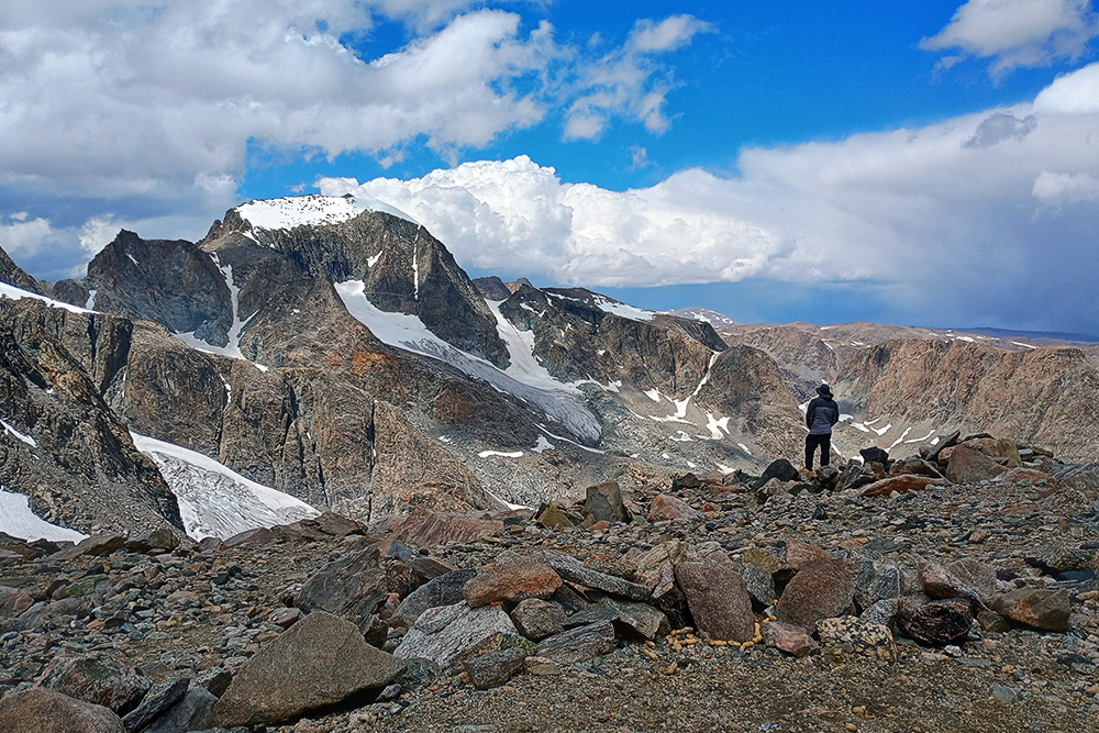
My First Clear View of Gannett Peak
I’ve camped higher than 23,000 feet (7,000 meters) without oxygen for several nights, but I could still tell that climbing Bonney Pass on our third morning with heavy packs was pushing it.
Once we reached the top, we had a sudden epiphany: why not just camp here?
That way we wouldn’t have to carry all our gear down the other side of the pass and then haul it back up after summiting. I hadn’t been completely serious when I suggested it, but my friend agreed. We found an existing rock ring that offered some protection from the wind and pitched our tent.
For the first time on the trip, Gannett Peak was directly in front of us. We basically had a front-row seat from our tent.
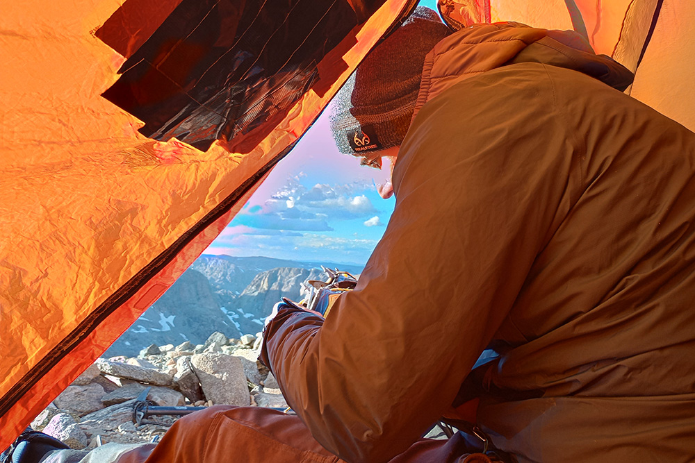
Our Tent on Bonney Pass
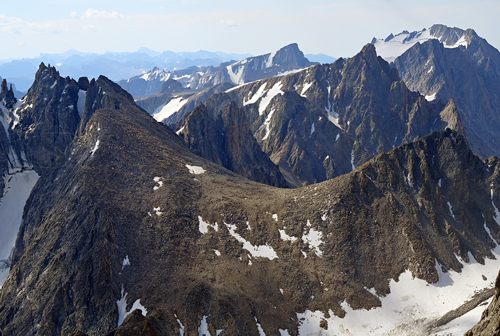
Camping on Bonney Pass With Gannett in Front of Us
We ended up spending two nights here: the night we arrived and the night after our summit attempt. Both nights I prayed we wouldn’t get hammered by violent thunderstorms, but luckily the weather remained great.
The photo below shows Bonney Pass from the opposite side. If you look carefully, you can barely see our tent.
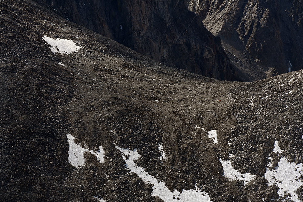
Looking Back at Bonney Pass and Our Tiny Tent
Summit Day
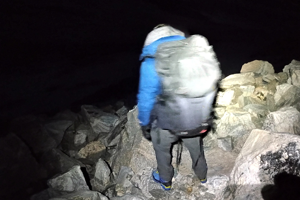
Leaving Bonney Pass on Summit Morning
Many climbers camp before Bonney Pass and then climb the pass as part of summit day, creating an atrocious total elevation gain of roughly 5,000 feet (1,500 meters). I really think camping on Bonney Pass, with the good weather we had, was the best decision we made.
Since we were already on top of the pass, we didn’t have to wake up at midnight. Instead, we started for the summit around 4:30 a.m.
Above is me leaving camp that morning. The photo below was actually taken on the way back, but it shows the low-angle ice field we had to cross after descending from Bonney Pass.
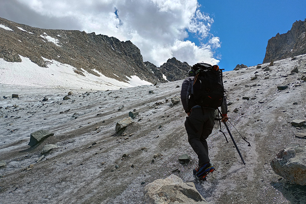
Crossing the Ice Field Below Bonney Pass
The ice wasn’t extremely steep, but traction was absolutely necessary. This actually became one of my favorite parts of the entire climb. Lines of crystal-clear glacial water cut straight through the ice, and we had to hop over them as we crossed.
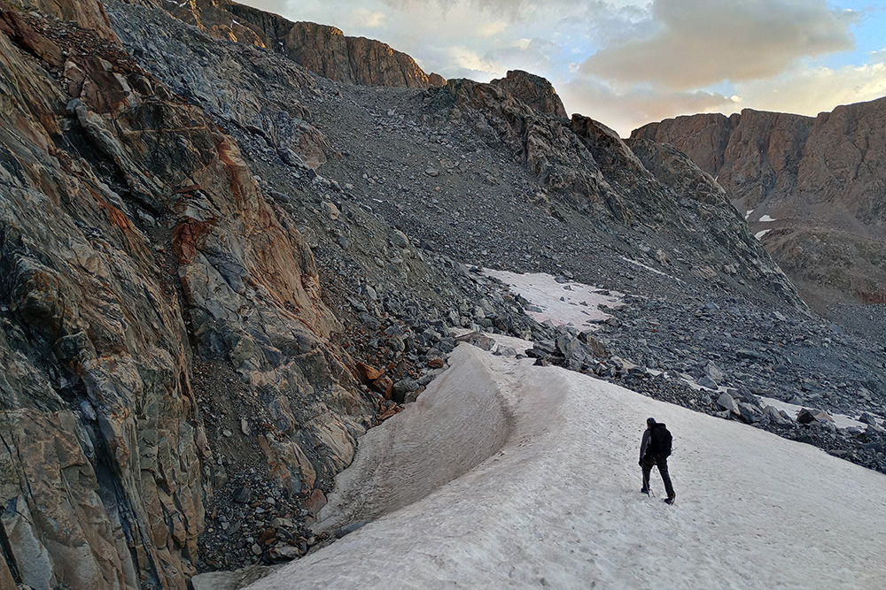
Crossing the Dinwoody Glacier Toward Gannett Peak
After crossing the ice field, we descended some snow and started across the Dinwoody Glacier. The snow was extremely packed and easy to travel across.
At one point we stayed too high because we were trying to avoid unnecessary climbing and came across some crevasses. They were easy to see and avoid in the conditions we encountered, but we descended a few hundred feet before continuing toward the base of Gannett.
The scree field ahead of me was what I considered the actual start of the mountain. My friend and I began climbing it and quickly discovered that it was similar to Bonney Pass in annoyance.
The Crux
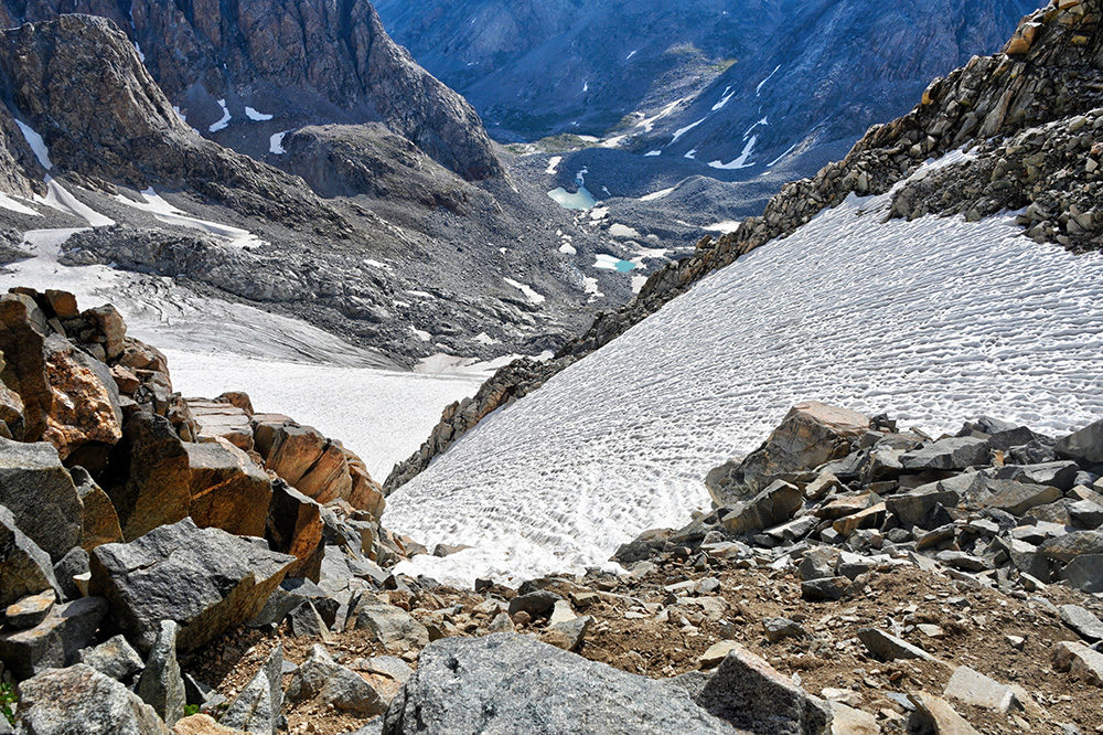
The Steep Snow Chute Below Gannett’s Pinnacle
Once we climbed the scree, my friend mentioned that he was feeling fatigued. We continued up a moderate snow slope until he decided it was best to stop. Luckily we had radios, so I continued toward the summit alone.
My next challenge was the crux: the steep snow chute above.
Then there was the famous bergschrund, which still confuses me to this day. Before the trip, I’d seen people frantically posting about it as if an open bergschrund suddenly transformed the mountain into a completely different climb. I had even seen warnings three weeks before our trip saying that it was already opening.
Yet when I arrived, I saw no obvious indication of the obstacle I’d been expecting. The climber who had told us that Bonney Pass was harder than summit day also said the rocks could be scrambled around anyway.
So I passed the crux still wondering whether the bergschrund was somewhere else, whether we’d simply avoided it, or whether it had somehow disappeared during another three weeks of summer. Either way, the infamous bergschrund I’d spent time worrying about never became an issue for me.
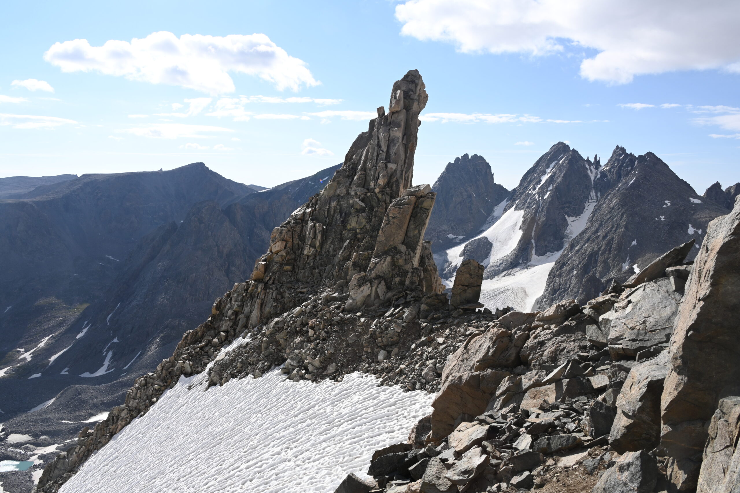
Gannett’s Pinnacle Above the Crux
The Summit Ridge
Once above the snow chute, I stood beneath Gannett’s famous pinnacle. From here, all that remained was more scrambling followed by the summit ridge.
From every photo I’d seen—and even from the way the ridge looked from Bonney Pass—I thought it would be fairly level and straightforward. I imagined reaching the ridge and then casually walking over to the summit.
I was wrong. To me, this was the sketchiest part of the entire climb. I didn’t put my crampons back on, which in hindsight I think was a mistake. The snow held reasonably well with my ice ax, and there were rocks jutting out here and there that I could use, but this was still the section where I felt the most exposed.
Tragically, a climber had died near the summit the week before our trip, which was certainly on my mind. After returning home, I also saw another climber describe the ridge as “spooky.” That was a pretty good description.
In the photo below, you can see what the ridge looks like from the summit. It’s not terrible, but it’s definitely not the flat and easy walk I had imagined!
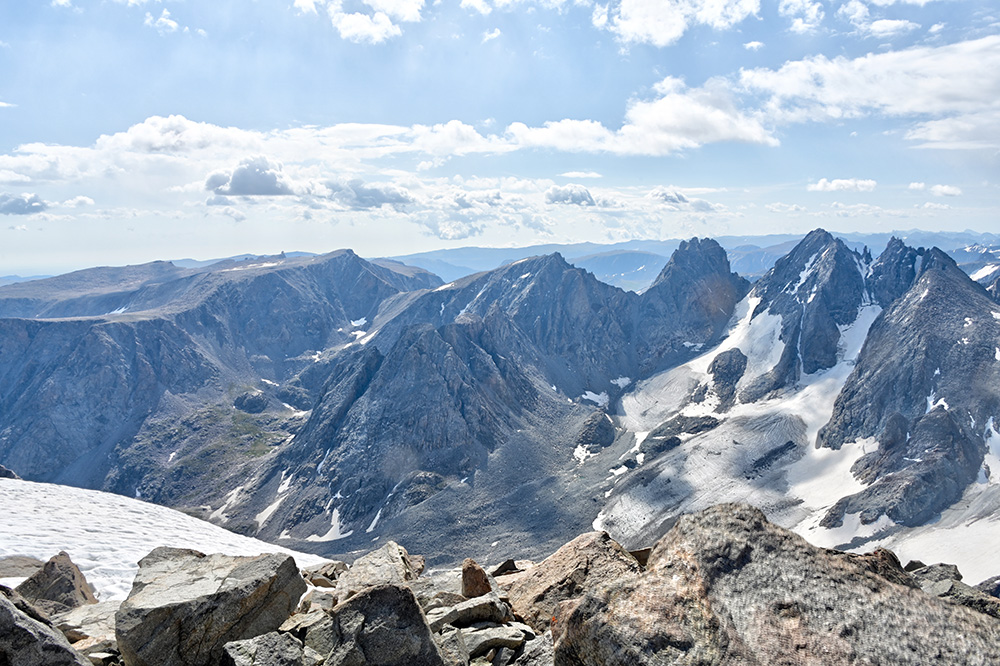
Looking Back Across Gannett’s Summit Ridge
Top of Wyoming
While I definitely should have put my crampons back on, the ridge thankfully didn’t take very long to cross.
After a short time, I stepped onto the small rocky summit of Gannett Peak—the highest point in Wyoming and my last real mountain in my quest to reach the highest point in all fifty states!
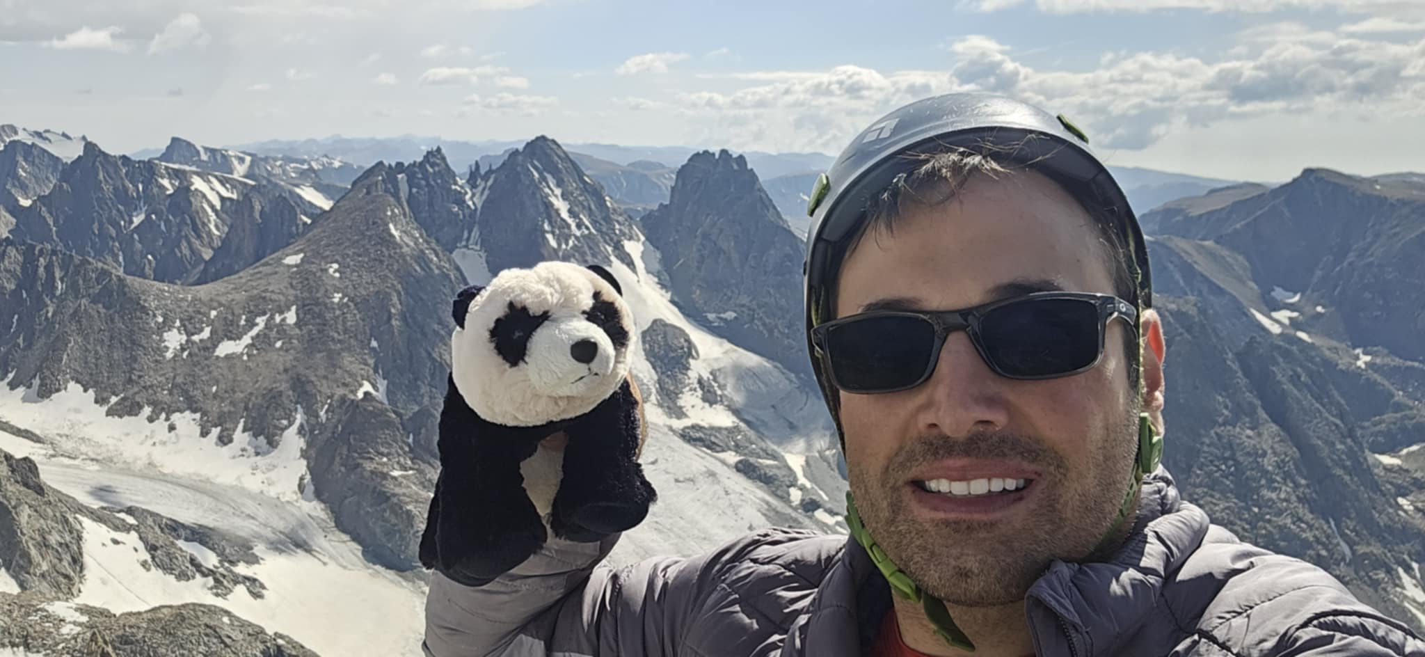
On the Summit of Gannett Peak — The Highest Point in Wyoming